2088 Sprucefield Rd Unit 2088 Columbus, OH 43229
Northgate NeighborhoodEstimated Value: $156,000 - $188,244
3
Beds
2
Baths
1,320
Sq Ft
$132/Sq Ft
Est. Value
About This Home
This home is located at 2088 Sprucefield Rd Unit 2088, Columbus, OH 43229 and is currently estimated at $174,061, approximately $131 per square foot. 2088 Sprucefield Rd Unit 2088 is a home located in Franklin County with nearby schools including Northgate Intermediate, Alpine Elementary School, and Woodward Park Middle School.
Ownership History
Date
Name
Owned For
Owner Type
Purchase Details
Closed on
Aug 24, 2017
Sold by
Walz Charles L and Walz Kellie A
Bought by
Omar Deqa J
Current Estimated Value
Purchase Details
Closed on
May 22, 2008
Sold by
Christian Carolyn S and Sprucefield Court Townhomes Co
Bought by
Walz Charles L
Purchase Details
Closed on
Apr 29, 1992
Bought by
Christian Carolyn S
Purchase Details
Closed on
Jun 1, 1987
Purchase Details
Closed on
Jul 1, 1986
Create a Home Valuation Report for This Property
The Home Valuation Report is an in-depth analysis detailing your home's value as well as a comparison with similar homes in the area
Home Values in the Area
Average Home Value in this Area
Purchase History
| Date | Buyer | Sale Price | Title Company |
|---|---|---|---|
| Omar Deqa J | $57,300 | Atlas Title Solutions | |
| Walz Charles L | $58,000 | None Available | |
| Christian Carolyn S | $48,500 | -- | |
| -- | -- | -- | |
| -- | $52,200 | -- |
Source: Public Records
Tax History Compared to Growth
Tax History
| Year | Tax Paid | Tax Assessment Tax Assessment Total Assessment is a certain percentage of the fair market value that is determined by local assessors to be the total taxable value of land and additions on the property. | Land | Improvement |
|---|---|---|---|---|
| 2024 | $3,574 | $53,030 | $9,280 | $43,750 |
| 2023 | $2,350 | $53,025 | $9,275 | $43,750 |
| 2022 | $1,671 | $21,460 | $2,630 | $18,830 |
| 2021 | $1,115 | $21,460 | $2,630 | $18,830 |
| 2020 | $1,116 | $21,460 | $2,630 | $18,830 |
| 2019 | $1,302 | $21,460 | $2,630 | $18,830 |
| 2018 | $1,281 | $21,460 | $2,630 | $18,830 |
| 2017 | $1,334 | $21,460 | $2,630 | $18,830 |
| 2016 | $1,387 | $20,410 | $2,240 | $18,170 |
| 2015 | $1,262 | $20,410 | $2,240 | $18,170 |
| 2014 | $1,265 | $20,410 | $2,240 | $18,170 |
| 2013 | $694 | $22,680 | $2,485 | $20,195 |
Source: Public Records
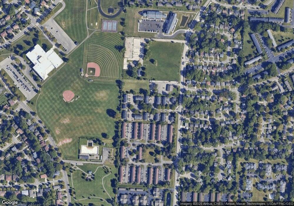
Map
Nearby Homes
- 2250 Webster Canyon Ct
- 2197 Bayfield Dr
- 6245 Sharon Woods Blvd
- 6048 Pinemoor St
- 2292 Laurelwood Dr Unit 2292L
- 6355 Johnanne St
- 5732 Beechcroft Rd Unit B
- 5726 Beechcroft Rd Unit J
- 6448 Sharon Woods Blvd Unit B
- 2120 Willowick Dr Unit B
- 6407 Skywae Dr
- 6496 Hearthstone Ave
- 6342 Bellmeadow Dr
- 2084 Brookfield Rd
- 1549 Alpine Dr
- 1752 Pine Tree St S Unit H
- 1743 Pine Tree St N Unit A
- 1947 Rockdale Dr Unit 33
- 5556 Parkshire Dr Unit 5556
- 6035 Karl Rd
- 2090 Sprucefield Rd Unit 2090
- 2092 Sprucefield Rd
- 2094 Sprucefield Rd Unit 2094
- 2084 Sprucefield Rd
- 2082 Sprucefield Rd
- 2080 Sprucefield Rd Unit 2080
- 2100 Sprucefield Rd Unit 2100
- 2098 Sprucefield Rd Unit 2098
- 2078 Sprucefield Rd Unit 2078
- 2104 Sprucefield Rd Unit 2104
- 2095 Sprucefield Dr
- 2095 Sprucefield Rd Unit 2095
- 2102 Sprucefield Rd Unit 2102
- 2093 Sprucefield Rd Unit 2093
- 2091 Sprucefield Rd
- 2105 Sprucefield Rd
- 2085 Sprucefield Rd Unit 2085
- 2081 Sprucefield Rd Unit 2081
- 2089 Sprucefield Dr
- 2083 Sprucefield Rd