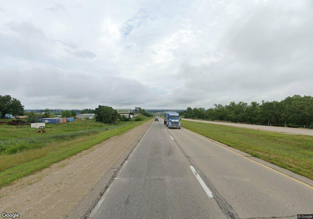
20886 Highway 52 N Durango, IA 52039
Estimated Value: $254,923 - $287,000
3
Beds
4
Baths
1,680
Sq Ft
$160/Sq Ft
Est. Value
About This Home
This home is located at 20886 Highway 52 N, Durango, IA 52039 and is currently estimated at $268,981, approximately $160 per square foot. 20886 Highway 52 N is a home located in Dubuque County with nearby schools including Epworth Elementary School, Drexler Middle - Intermediate School, and Western Dubuque High School.
Ownership History
Date
Name
Owned For
Owner Type
Purchase Details
Closed on
Jun 7, 2006
Sold by
Krepfle Edward W
Bought by
Goedken Gregory L and Goedken Peggy J
Current Estimated Value
Home Financials for this Owner
Home Financials are based on the most recent Mortgage that was taken out on this home.
Original Mortgage
$142,500
Outstanding Balance
$84,078
Interest Rate
6.73%
Mortgage Type
New Conventional
Estimated Equity
$184,903
Purchase Details
Closed on
May 3, 2006
Sold by
Krepfle Peri A
Bought by
Krepfle Edward W
Home Financials for this Owner
Home Financials are based on the most recent Mortgage that was taken out on this home.
Original Mortgage
$142,500
Outstanding Balance
$84,078
Interest Rate
6.73%
Mortgage Type
New Conventional
Estimated Equity
$184,903
Create a Home Valuation Report for This Property
The Home Valuation Report is an in-depth analysis detailing your home's value as well as a comparison with similar homes in the area
Home Values in the Area
Average Home Value in this Area
Purchase History
| Date | Buyer | Sale Price | Title Company |
|---|---|---|---|
| Goedken Gregory L | $150,000 | None Available | |
| Krepfle Edward W | -- | None Available |
Source: Public Records
Mortgage History
| Date | Status | Borrower | Loan Amount |
|---|---|---|---|
| Open | Goedken Gregory L | $142,500 |
Source: Public Records
Tax History Compared to Growth
Tax History
| Year | Tax Paid | Tax Assessment Tax Assessment Total Assessment is a certain percentage of the fair market value that is determined by local assessors to be the total taxable value of land and additions on the property. | Land | Improvement |
|---|---|---|---|---|
| 2025 | $2,038 | $244,400 | $20,200 | $224,200 |
| 2024 | $2,038 | $218,800 | $20,200 | $198,600 |
| 2023 | $1,958 | $218,800 | $20,200 | $198,600 |
| 2022 | $19 | $154,820 | $20,200 | $134,620 |
| 2021 | $1,866 | $154,820 | $20,200 | $134,620 |
| 2020 | $1,860 | $151,650 | $20,200 | $131,450 |
| 2019 | $1,662 | $151,650 | $20,200 | $131,450 |
| 2018 | $1,630 | $149,810 | $16,650 | $133,160 |
| 2017 | $1,616 | $149,810 | $16,650 | $133,160 |
| 2016 | $1,600 | $142,670 | $15,710 | $126,960 |
| 2015 | $1,600 | $142,670 | $15,710 | $126,960 |
| 2014 | $1,610 | $137,150 | $15,710 | $121,440 |
Source: Public Records
Map
Nearby Homes
- Lots 3 & 4 5 Points Rd
- Lot 1 Twin Cedar Dr
- Lot 2 Twin Cedar Dr
- Lot 3 Twin Cedar Dr
- 16800 Carmen Oaks Dr
- Lot 2-1 Creek Valley Acres
- 17234 Balltown Rd
- 860 Sunshine St
- Lot 1 of 3 Regency Dr
- 16978 Asbury Rd
- 2189 Tuscany Ridge Dr
- Lot 33 Tuscany Ridge Dr
- Lot 2 Tuscany Ridge Dr
- Lot 2-2 Hidden Meadows Dr
- 15441 Stacie Ct
- Lot 22 Keegan Ct
- LOT 26 Gretchen Ct
- LOT 25 Gretchen Ct
- Lot 18 Keegan Ct
- Lot 5 Cap Cana Dr
- 20908 Highway 52 N
- 20868 Route 3 Route
- 20868 N 52 Hwy
- 20868 Highway 52 N
- 20846 Highway 52 N
- 20880 Route 3
- 20824 Highway 52 N
- 20824 Hwy 52 N
- 20824 Iowa 3
- 20824 Route 3
- 20835 Route 3
- 20906 Route 3
- 20798 Route 3 Route
- 20798 Highway 52 N
- 20785 Highway 52 N
- 20768 N Rt 52
- 20732 Highway 52 N
- 20750 Highway 52 N
- 581 Hilltop Ct
- 575 Hilltop Ct
