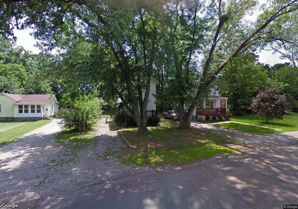
2089 Denune Ave Columbus, OH 43211
Arlington Park NeighborhoodEstimated Value: $125,000 - $167,000
2
Beds
1
Bath
904
Sq Ft
$159/Sq Ft
Est. Value
About This Home
This home is located at 2089 Denune Ave, Columbus, OH 43211 and is currently estimated at $143,392, approximately $158 per square foot. 2089 Denune Ave is a home located in Franklin County with nearby schools including East Linden Elementary School, Mifflin Middle School, and Mifflin High School.
Ownership History
Date
Name
Owned For
Owner Type
Purchase Details
Closed on
Jan 18, 2022
Sold by
Pfirsch James K
Bought by
Robar Doris and Robar Steven
Current Estimated Value
Purchase Details
Closed on
Feb 20, 2008
Sold by
Wells Fargo Bank Na
Bought by
Pfirsch James K and Pfirsch Marijane C
Purchase Details
Closed on
Sep 27, 2007
Sold by
Blanton Otis and Case #06Cve12 16386
Bought by
Wells Fargo Bank Na and Securitized Asset Backed Receivables Llc
Purchase Details
Closed on
Jun 23, 2003
Sold by
Bank One Na
Bought by
Ward Brian S and Ward Jennifer E
Purchase Details
Closed on
Apr 16, 2003
Sold by
Hodge William E and Case #02Cve02 2110
Bought by
Bank One Na
Purchase Details
Closed on
Dec 12, 1989
Bought by
Hodge William E
Purchase Details
Closed on
Aug 1, 1983
Create a Home Valuation Report for This Property
The Home Valuation Report is an in-depth analysis detailing your home's value as well as a comparison with similar homes in the area
Home Values in the Area
Average Home Value in this Area
Purchase History
| Date | Buyer | Sale Price | Title Company |
|---|---|---|---|
| Robar Doris | $23,000 | None Listed On Document | |
| Pfirsch James K | $22,500 | Sovereign Title Agency Llc | |
| Wells Fargo Bank Na | $34,000 | None Available | |
| Ward Brian S | $18,000 | Resource Title Agency Inc | |
| Bank One Na | $34,600 | -- | |
| Hodge William E | $27,500 | -- | |
| -- | $84,000 | -- |
Source: Public Records
Tax History
| Year | Tax Paid | Tax Assessment Tax Assessment Total Assessment is a certain percentage of the fair market value that is determined by local assessors to be the total taxable value of land and additions on the property. | Land | Improvement |
|---|---|---|---|---|
| 2025 | $2,378 | $36,160 | $7,040 | $29,120 |
| 2024 | $2,378 | $36,160 | $7,040 | $29,120 |
| 2023 | $2,249 | $36,160 | $7,040 | $29,120 |
| 2022 | $999 | $11,520 | $1,860 | $9,660 |
| 2021 | $967 | $11,520 | $1,860 | $9,660 |
| 2020 | $941 | $11,520 | $1,860 | $9,660 |
| 2019 | $905 | $9,810 | $1,580 | $8,230 |
| 2018 | $982 | $9,810 | $1,580 | $8,230 |
| 2017 | $860 | $9,810 | $1,580 | $8,230 |
| 2016 | $1,131 | $11,620 | $1,470 | $10,150 |
| 2015 | $1,060 | $11,620 | $1,470 | $10,150 |
| 2014 | $1,062 | $11,620 | $1,470 | $10,150 |
| 2013 | $615 | $13,650 | $1,715 | $11,935 |
Source: Public Records
Map
Nearby Homes
- 1971 Aberdeen Ave
- 2475 Parkwood Ave
- 2735 Berrell Ave
- 2192 Genessee Ave
- 1884 Aberdeen Ave
- 2699 Woodland Ave
- 2765 Joyce Ave
- 1938 Myrtle Ave
- 2823 Fern Ave
- 2407 Marcia Dr
- 1326 Minnesota Ave
- 2068 Agler Rd
- 2861 Woodland Ave
- 0 Aberdeen Ave Unit 226000728
- 0 Aberdeen Ave Unit 226002456
- 0 Aberdeen Ave Unit 226002459
- 0 Aberdeen Ave Unit 226002457
- 0 Aberdeen Ave Unit 226002458
- 1799 Harold Place
- 0 Parkwood Ave
- 2081 Denune Ave
- 2097 Paul Dr
- 2594 Parkwood Ave
- 2139 Denune Ave
- 0 Berrell Ave
- 2087 Paul Dr
- 2590 Parkwood Ave
- 2586 Parkwood Ave
- 2614 Berrell Ave
- 2088 Denune Ave
- 2086 Aberdeen Ave
- 2082 Denune Ave
- 2620 Berrell Ave
- 2572 Parkwood Ave
- 2105 Denune Ave Unit 126
- 0 Paul Dr
- 2629 Berrell Ave
- 2566 Parkwood Ave
- 2111 Denune Ave
- 2100 Aberdeen Ave
Your Personal Tour Guide
Ask me questions while you tour the home.