2089 Poor Farm Rd Jacksonville, IL 62650
Estimated Value: $65,000 - $218,107
3
Beds
2
Baths
2,354
Sq Ft
$60/Sq Ft
Est. Value
About This Home
This home is located at 2089 Poor Farm Rd, Jacksonville, IL 62650 and is currently estimated at $141,554, approximately $60 per square foot. 2089 Poor Farm Rd is a home located in Morgan County with nearby schools including Triopia Grade School and Triopia Junior/Senior High School.
Ownership History
Date
Name
Owned For
Owner Type
Purchase Details
Closed on
Jan 7, 2020
Sold by
Hadden John Matthew
Bought by
Hopkins Mark L and Hopkins Karen S
Current Estimated Value
Purchase Details
Closed on
Apr 6, 2010
Sold by
Hopkins Mark L
Bought by
Hopkins Mark L and Culbertson Karen S
Purchase Details
Closed on
Jun 26, 2009
Sold by
Evans Mark M and Evans Jill R
Bought by
Hoplkins Mrk L
Home Financials for this Owner
Home Financials are based on the most recent Mortgage that was taken out on this home.
Original Mortgage
$99,200
Interest Rate
4.92%
Mortgage Type
New Conventional
Create a Home Valuation Report for This Property
The Home Valuation Report is an in-depth analysis detailing your home's value as well as a comparison with similar homes in the area
Home Values in the Area
Average Home Value in this Area
Purchase History
| Date | Buyer | Sale Price | Title Company |
|---|---|---|---|
| Hopkins Mark L | $45,424 | Attorney | |
| Hopkins Mark L | -- | None Available | |
| Hoplkins Mrk L | $124,000 | None Available |
Source: Public Records
Mortgage History
| Date | Status | Borrower | Loan Amount |
|---|---|---|---|
| Previous Owner | Hoplkins Mrk L | $99,200 |
Source: Public Records
Tax History Compared to Growth
Tax History
| Year | Tax Paid | Tax Assessment Tax Assessment Total Assessment is a certain percentage of the fair market value that is determined by local assessors to be the total taxable value of land and additions on the property. | Land | Improvement |
|---|---|---|---|---|
| 2024 | $2,284 | $41,420 | $2,880 | $38,540 |
| 2023 | $2,090 | $37,650 | $2,610 | $35,040 |
| 2022 | $1,866 | $37,640 | $2,600 | $35,040 |
| 2021 | $2,179 | $42,000 | $4,010 | $37,990 |
| 2020 | $2,164 | $40,190 | $4,010 | $36,180 |
| 2019 | $2,109 | $39,830 | $4,010 | $35,820 |
| 2018 | $2,343 | $38,670 | $3,890 | $34,780 |
| 2017 | $2,301 | $37,910 | $3,810 | $34,100 |
| 2016 | $2,363 | $38,590 | $3,810 | $34,780 |
| 2015 | $1,999 | $32,430 | $3,200 | $29,230 |
| 2014 | $1,999 | $31,800 | $3,140 | $28,660 |
| 2013 | $1,820 | $31,800 | $3,140 | $28,660 |
Source: Public Records
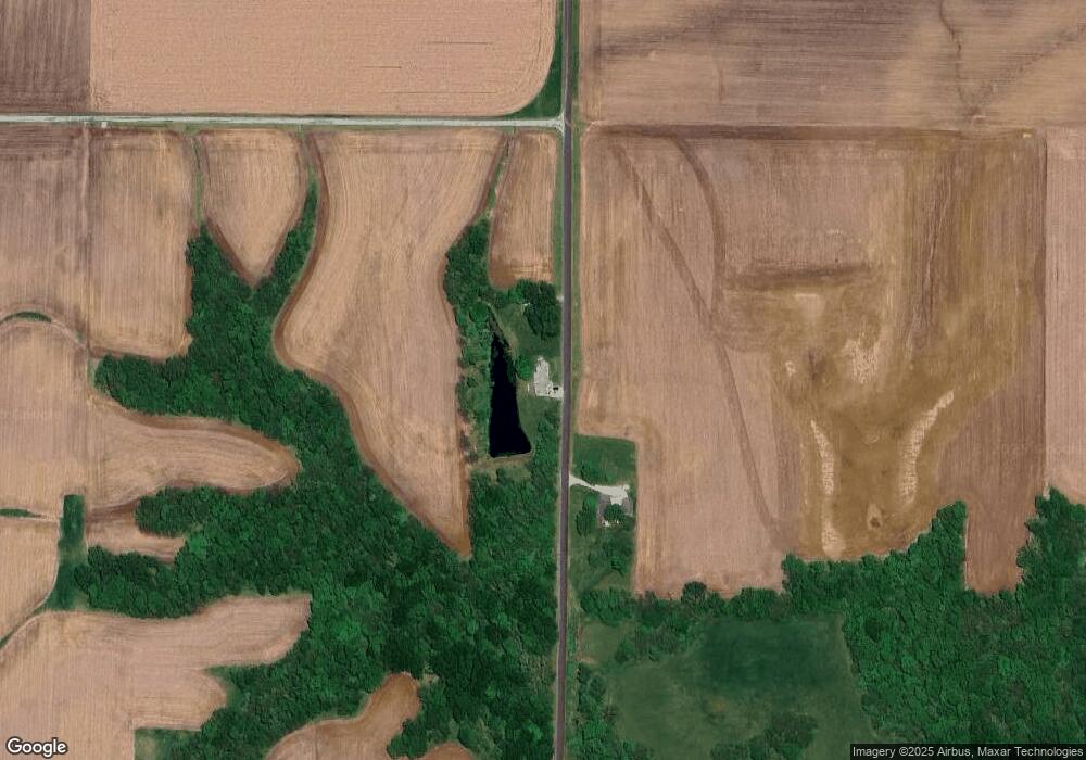
Map
Nearby Homes
- 12 Quail Ln
- 17 Springwater Dr
- 2 Springwater Dr
- 16881 Crum Rd
- 1865 Gravel Springs Cir
- 1585 Gravel Springs Cir
- 205 E Main St
- 2275 Concord Arenzville Rd
- 304 Carobeth Cir
- 1672 Mount Zion Rd
- 108 Nansarah Dr
- 1640 Old Highway 67
- 70 Applebee Farms Dr
- 102 E Virginia Rd
- 208 S State St
- 8 Wadsworth Dr
- 1 Wadsworth Dr
- 1492 Passavant Dr
- 22 Appomatox Ave
- 840 W Walnut St