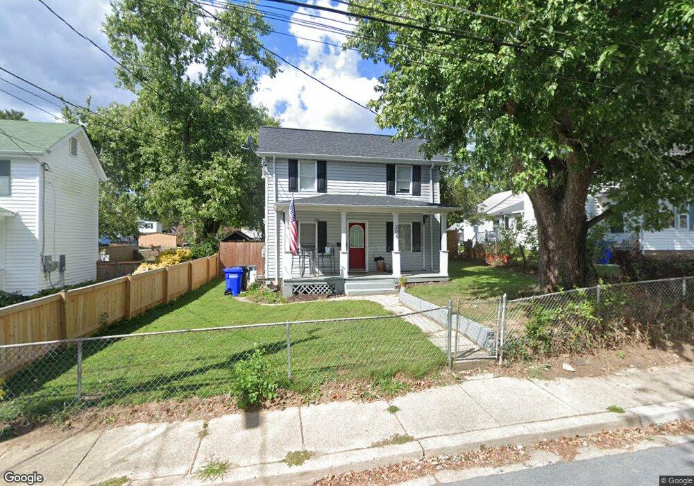
209 10th St Laurel, MD 20707
Estimated Value: $363,897 - $441,000
3
Beds
1
Bath
1,080
Sq Ft
$379/Sq Ft
Est. Value
About This Home
This home is located at 209 10th St, Laurel, MD 20707 and is currently estimated at $408,974, approximately $378 per square foot. 209 10th St is a home located in Prince George's County with nearby schools including Scotchtown Hills Elementary School, Dwight D. Eisenhower Middle School, and Laurel High School.
Ownership History
Date
Name
Owned For
Owner Type
Purchase Details
Closed on
Jul 29, 2011
Sold by
Polan Ricky E
Bought by
Horvath Nicholas R
Current Estimated Value
Home Financials for this Owner
Home Financials are based on the most recent Mortgage that was taken out on this home.
Original Mortgage
$165,690
Outstanding Balance
$115,273
Interest Rate
4.75%
Mortgage Type
FHA
Estimated Equity
$293,701
Purchase Details
Closed on
Jan 3, 1994
Sold by
Digges Anna L
Bought by
Polan Ricky E
Home Financials for this Owner
Home Financials are based on the most recent Mortgage that was taken out on this home.
Original Mortgage
$103,000
Interest Rate
7%
Create a Home Valuation Report for This Property
The Home Valuation Report is an in-depth analysis detailing your home's value as well as a comparison with similar homes in the area
Home Values in the Area
Average Home Value in this Area
Purchase History
| Date | Buyer | Sale Price | Title Company |
|---|---|---|---|
| Horvath Nicholas R | $170,000 | Maryland First Title Ltd | |
| Polan Ricky E | $106,000 | -- |
Source: Public Records
Mortgage History
| Date | Status | Borrower | Loan Amount |
|---|---|---|---|
| Open | Horvath Nicholas R | $165,690 | |
| Previous Owner | Polan Ricky E | $103,000 |
Source: Public Records
Tax History
| Year | Tax Paid | Tax Assessment Tax Assessment Total Assessment is a certain percentage of the fair market value that is determined by local assessors to be the total taxable value of land and additions on the property. | Land | Improvement |
|---|---|---|---|---|
| 2025 | $5,229 | $291,900 | $100,700 | $191,200 |
| 2024 | $5,229 | $280,767 | -- | -- |
| 2023 | $4,994 | $269,633 | $0 | $0 |
| 2022 | $4,747 | $258,500 | $100,700 | $157,800 |
| 2021 | $4,409 | $241,400 | $0 | $0 |
| 2020 | $4,100 | $224,300 | $0 | $0 |
| 2019 | $3,799 | $207,200 | $75,300 | $131,900 |
| 2018 | $3,597 | $195,700 | $0 | $0 |
| 2017 | $3,399 | $184,200 | $0 | $0 |
| 2016 | -- | $172,700 | $0 | $0 |
| 2015 | $3,070 | $172,700 | $0 | $0 |
| 2014 | $3,070 | $172,700 | $0 | $0 |
Source: Public Records
Map
Nearby Homes
- 1103 Montgomery St
- 910 Montgomery St Unit A
- 1016 Phillip Powers Dr
- 916 Philip Powers Dr
- 1116 Westview Terrace
- 1211 Snowden Place
- 9425 Fairview Ave
- 9429 Fairview Ave
- 9437 Fairview Ave
- 501 8th St
- 9401 Riverbrink Ct
- 8040 Sandy Spring Rd
- 903 Montrose Ave
- 505A Montgomery St
- 19 Post Office Ave Unit 203
- 1012 Ward St
- 413 Talbott Ave
- 1028 Ward St
- 1000 8th St
- 509 4th St
- 211 10th St
- 207 10th St
- 1005 Montgomery St
- 205 10th St
- 1001 Montgomery St
- 203 10th St
- 214 10th St
- 216 10th St
- 214 10th St Unit A
- 214 10th St Unit B
- 216 10th St Unit B
- 214 10th Street A Unit A
- 210 11th St
- 1007 Montgomery St
- 212 11th St
- 216 10th Street B Unit B
- 206 10th St
- 206 11th St
- 204 10th St
- 933 Montgomery St
Your Personal Tour Guide
Ask me questions while you tour the home.