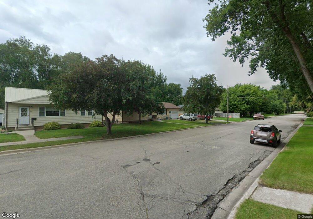
209 1st St NW Glenwood, MN 56334
Estimated Value: $199,000 - $259,000
3
Beds
2
Baths
1,196
Sq Ft
$181/Sq Ft
Est. Value
About This Home
This home is located at 209 1st St NW, Glenwood, MN 56334 and is currently estimated at $216,273, approximately $180 per square foot. 209 1st St NW is a home located in Pope County with nearby schools including Minnewaska Area Elementary School, Minnewaska Area Intermediate School, and Minnewaska Area Junior High School.
Ownership History
Date
Name
Owned For
Owner Type
Purchase Details
Closed on
Aug 20, 2021
Sold by
Engstrom Rose Rose
Bought by
Hunter Nicholas Nicholas
Current Estimated Value
Home Financials for this Owner
Home Financials are based on the most recent Mortgage that was taken out on this home.
Original Mortgage
$153,805
Outstanding Balance
$139,772
Interest Rate
2.86%
Estimated Equity
$76,501
Purchase Details
Closed on
Jun 1, 2001
Bought by
Ripperger Louis F
Create a Home Valuation Report for This Property
The Home Valuation Report is an in-depth analysis detailing your home's value as well as a comparison with similar homes in the area
Home Values in the Area
Average Home Value in this Area
Purchase History
| Date | Buyer | Sale Price | Title Company |
|---|---|---|---|
| Hunter Nicholas Nicholas | $161,900 | -- | |
| Ripperger Louis F | $74,500 | -- |
Source: Public Records
Mortgage History
| Date | Status | Borrower | Loan Amount |
|---|---|---|---|
| Open | Hunter Nicholas Nicholas | $153,805 |
Source: Public Records
Tax History Compared to Growth
Tax History
| Year | Tax Paid | Tax Assessment Tax Assessment Total Assessment is a certain percentage of the fair market value that is determined by local assessors to be the total taxable value of land and additions on the property. | Land | Improvement |
|---|---|---|---|---|
| 2025 | $1,714 | $169,300 | $22,400 | $146,900 |
| 2024 | $1,714 | $159,100 | $22,400 | $136,700 |
| 2023 | $1,596 | $161,200 | $22,400 | $138,800 |
| 2022 | $1,492 | $156,600 | $22,400 | $134,200 |
| 2021 | $1,516 | $121,800 | $15,800 | $106,000 |
| 2020 | $100 | $124,200 | $15,800 | $108,400 |
| 2018 | $49 | $0 | $0 | $0 |
| 2017 | $49 | $0 | $0 | $0 |
| 2016 | $49 | $0 | $0 | $0 |
| 2015 | -- | $0 | $0 | $0 |
| 2014 | -- | $0 | $0 | $0 |
Source: Public Records
Map
Nearby Homes
- 279 Minnesota Ave W Unit 203
- 210 2nd Ave SE
- 406 Franklin St S
- 705 State Highway 28 W
- 411 4th Ave NE
- 425 2nd Ave NE
- 238XX N Lake Shore Dr
- 1020 2nd St NE
- 1106 2nd St NE
- 521 6th Ave SE
- 720 6th Ave SE
- 730 6th Ave SE
- 740 6th Ave SE
- 105 10th St SE
- 1429 1st Ave NE
- 23359 170th St
- 23355 N Lakeshore Dr
- 23727 N Lakeshore Dr
- TBD Highway 28 29
- 17947 Westwood Ln