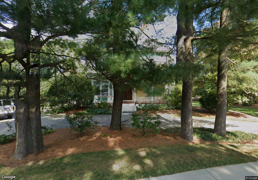
209 Bacon St Natick, MA 01760
Estimated Value: $1,076,000 - $1,409,346
5
Beds
3
Baths
3,634
Sq Ft
$331/Sq Ft
Est. Value
About This Home
This home is located at 209 Bacon St, Natick, MA 01760 and is currently estimated at $1,203,087, approximately $331 per square foot. 209 Bacon St is a home located in Middlesex County with nearby schools including Natick High School, Wilson Middle School, and Bennett-Hemenway (Ben-Hem) Elementary School.
Ownership History
Date
Name
Owned For
Owner Type
Purchase Details
Closed on
May 16, 2012
Sold by
Towle Rt
Bought by
Dowle Wayne D and Dowle Deborah H
Current Estimated Value
Home Financials for this Owner
Home Financials are based on the most recent Mortgage that was taken out on this home.
Original Mortgage
$137,000
Outstanding Balance
$90,819
Interest Rate
3%
Mortgage Type
Adjustable Rate Mortgage/ARM
Estimated Equity
$1,112,268
Purchase Details
Closed on
Dec 9, 2010
Sold by
Towle Wayne D and Towle Deborah H
Bought by
Towle Rt
Purchase Details
Closed on
Aug 1, 1990
Sold by
Klabin Laura
Bought by
Towle Wayne D
Home Financials for this Owner
Home Financials are based on the most recent Mortgage that was taken out on this home.
Original Mortgage
$270,000
Interest Rate
10.02%
Mortgage Type
Purchase Money Mortgage
Create a Home Valuation Report for This Property
The Home Valuation Report is an in-depth analysis detailing your home's value as well as a comparison with similar homes in the area
Home Values in the Area
Average Home Value in this Area
Purchase History
| Date | Buyer | Sale Price | Title Company |
|---|---|---|---|
| Dowle Wayne D | -- | -- | |
| Towle Rt | -- | -- | |
| Towle Wayne D | $300,000 | -- |
Source: Public Records
Mortgage History
| Date | Status | Borrower | Loan Amount |
|---|---|---|---|
| Open | Dowle Wayne D | $137,000 | |
| Previous Owner | Towle Wayne D | $35,000 | |
| Previous Owner | Towle Wayne D | $245,500 | |
| Previous Owner | Towle Wayne D | $255,000 | |
| Previous Owner | Towle Wayne D | $270,000 |
Source: Public Records
Tax History
| Year | Tax Paid | Tax Assessment Tax Assessment Total Assessment is a certain percentage of the fair market value that is determined by local assessors to be the total taxable value of land and additions on the property. | Land | Improvement |
|---|---|---|---|---|
| 2025 | $14,150 | $1,183,100 | $554,200 | $628,900 |
| 2024 | $13,633 | $1,112,000 | $524,800 | $587,200 |
| 2023 | $13,005 | $1,028,900 | $482,900 | $546,000 |
| 2022 | $12,404 | $929,800 | $430,600 | $499,200 |
| 2021 | $9,699 | $871,200 | $407,900 | $463,300 |
| 2020 | $11,095 | $815,200 | $373,900 | $441,300 |
| 2019 | $9,060 | $815,200 | $373,900 | $441,300 |
| 2018 | $10,300 | $789,300 | $339,900 | $449,400 |
| 2017 | $10,202 | $756,300 | $314,900 | $441,400 |
| 2016 | $10,002 | $737,100 | $299,900 | $437,200 |
| 2015 | $9,688 | $701,000 | $299,900 | $401,100 |
Source: Public Records
Map
Nearby Homes
- 36 Winnemay St
- 7 Jackson Ct Unit B
- 20 Florence St Unit B
- 12 Bay State Rd
- 16 Harvard St
- 293 Bacon St Unit A
- 27 2nd St
- 52 Washington St
- 23 Lake St
- 50 Wethersfield Rd
- 9 Bellevue Rd
- 53 Harvard Street Extension
- 1 Richard Rd
- 3 Vale St Unit A
- 25 Irving Rd
- 4 Richard Rd
- 44 Harwood Rd
- 34 Marion St
- 29 Irving Rd
- 45 Summer St
Your Personal Tour Guide
Ask me questions while you tour the home.