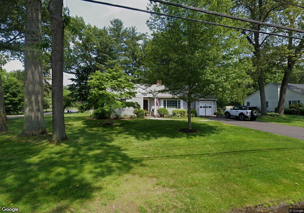
209 Burbank Rd Longmeadow, MA 01106
Estimated Value: $384,000 - $431,000
2
Beds
1
Bath
1,448
Sq Ft
$283/Sq Ft
Est. Value
About This Home
This home is located at 209 Burbank Rd, Longmeadow, MA 01106 and is currently estimated at $409,566, approximately $282 per square foot. 209 Burbank Rd is a home located in Hampden County with nearby schools including Blueberry Hill, Williams Middle School, and Longmeadow High School.
Ownership History
Date
Name
Owned For
Owner Type
Purchase Details
Closed on
Dec 15, 2023
Sold by
Barney Frances T
Bought by
Bergin Daniel R
Current Estimated Value
Purchase Details
Closed on
Oct 11, 1996
Sold by
Presson Laura P Est and Stebbins
Bought by
Barney John T and Barney Frances T
Home Financials for this Owner
Home Financials are based on the most recent Mortgage that was taken out on this home.
Original Mortgage
$40,000
Interest Rate
8.06%
Mortgage Type
Purchase Money Mortgage
Create a Home Valuation Report for This Property
The Home Valuation Report is an in-depth analysis detailing your home's value as well as a comparison with similar homes in the area
Home Values in the Area
Average Home Value in this Area
Purchase History
| Date | Buyer | Sale Price | Title Company |
|---|---|---|---|
| Bergin Daniel R | $325,000 | None Available | |
| Barney Frances T | -- | None Available | |
| Barney John T | $128,500 | -- |
Source: Public Records
Mortgage History
| Date | Status | Borrower | Loan Amount |
|---|---|---|---|
| Previous Owner | Barney John T | $40,000 |
Source: Public Records
Tax History Compared to Growth
Tax History
| Year | Tax Paid | Tax Assessment Tax Assessment Total Assessment is a certain percentage of the fair market value that is determined by local assessors to be the total taxable value of land and additions on the property. | Land | Improvement |
|---|---|---|---|---|
| 2025 | $7,223 | $342,000 | $159,100 | $182,900 |
| 2024 | $7,073 | $342,000 | $159,100 | $182,900 |
| 2023 | $6,835 | $298,200 | $137,100 | $161,100 |
| 2022 | $6,611 | $268,300 | $137,100 | $131,200 |
| 2021 | $6,336 | $256,100 | $130,600 | $125,500 |
| 2020 | $6,193 | $255,800 | $123,400 | $132,400 |
| 2019 | $5,909 | $245,300 | $123,400 | $121,900 |
| 2018 | $5,661 | $232,600 | $151,600 | $81,000 |
| 2017 | $5,544 | $235,100 | $151,600 | $83,500 |
| 2016 | $5,336 | $219,300 | $139,500 | $79,800 |
| 2015 | $5,147 | $217,900 | $138,100 | $79,800 |
Source: Public Records
Map
Nearby Homes
- 132 Coventry Ln
- 44 Wendover Rd
- 19 Normandy Rd
- 124 Tecumseh Dr
- 911 Williams St
- 260 Longmeadow St
- 52 Smithfield Ct
- 114 Park Dr
- 32 Edgewood Ave
- 37 Captain Rd
- 0 Dennis Rd
- 111 Ashford Rd
- 50 Elmwood Ave
- 47 Academy Dr
- 202 Williamsburg Dr
- 118 Field Rd
- 217 Inverness Ln
- 21 Brentwood St
- 15 Bronson Terrace
- 120 Inverness Ln