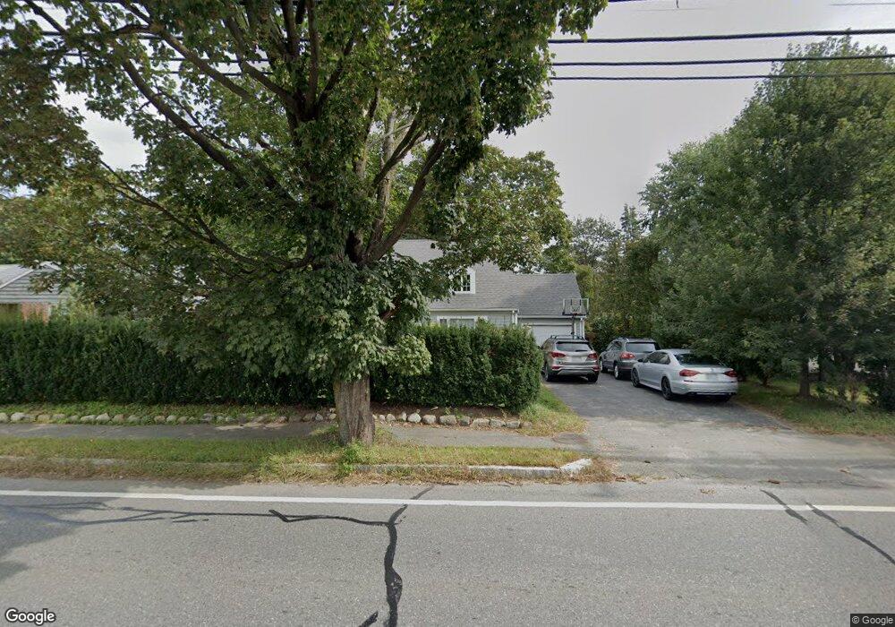
209 Cambridge St Winchester, MA 01890
The Flats NeighborhoodEstimated Value: $1,038,000 - $1,284,000
4
Beds
2
Baths
2,001
Sq Ft
$584/Sq Ft
Est. Value
About This Home
This home is located at 209 Cambridge St, Winchester, MA 01890 and is currently estimated at $1,168,376, approximately $583 per square foot. 209 Cambridge St is a home located in Middlesex County with nearby schools including Vinson-Owen Elementary School, McCall Middle School, and Winchester High School.
Ownership History
Date
Name
Owned For
Owner Type
Purchase Details
Closed on
Jul 15, 2009
Sold by
Zenga Daniel W and Fitzer Susan A
Bought by
Deevy Liam G and Ferguson Diane E
Current Estimated Value
Home Financials for this Owner
Home Financials are based on the most recent Mortgage that was taken out on this home.
Original Mortgage
$355,500
Outstanding Balance
$232,022
Interest Rate
5.31%
Mortgage Type
Purchase Money Mortgage
Estimated Equity
$936,354
Create a Home Valuation Report for This Property
The Home Valuation Report is an in-depth analysis detailing your home's value as well as a comparison with similar homes in the area
Home Values in the Area
Average Home Value in this Area
Purchase History
| Date | Buyer | Sale Price | Title Company |
|---|---|---|---|
| Deevy Liam G | $395,000 | -- |
Source: Public Records
Mortgage History
| Date | Status | Borrower | Loan Amount |
|---|---|---|---|
| Open | Deevy Liam G | $355,500 |
Source: Public Records
Tax History Compared to Growth
Tax History
| Year | Tax Paid | Tax Assessment Tax Assessment Total Assessment is a certain percentage of the fair market value that is determined by local assessors to be the total taxable value of land and additions on the property. | Land | Improvement |
|---|---|---|---|---|
| 2025 | $94 | $843,300 | $520,700 | $322,600 |
| 2024 | $9,549 | $842,800 | $520,700 | $322,100 |
| 2023 | $8,356 | $708,100 | $428,800 | $279,300 |
| 2022 | $8,284 | $662,200 | $382,900 | $279,300 |
| 2021 | $11,801 | $654,500 | $375,200 | $279,300 |
| 2020 | $12,846 | $654,500 | $375,200 | $279,300 |
| 2019 | $7,926 | $654,500 | $375,200 | $279,300 |
| 2018 | $7,803 | $640,100 | $369,100 | $271,000 |
| 2017 | $7,244 | $589,900 | $335,400 | $254,500 |
| 2016 | $6,508 | $557,200 | $319,300 | $237,900 |
| 2015 | $6,297 | $518,700 | $290,200 | $228,500 |
| 2014 | $5,439 | $429,600 | $206,800 | $222,800 |
Source: Public Records
Map
Nearby Homes
- 89 Wildwood St
- 44 Cabot St
- 32 Woodside Rd
- 9 Norfolk Rd
- 6 Ivy Cir
- 1 Copley St
- 7 Wainwright Rd Unit 118
- 104 Church St
- 15 Wildwood St
- 6 Wyman Ct Unit 6
- 4 Wyman Ct Unit 4
- 10 Sheffield Rd
- 269 Cambridge Rd Unit 203
- 273 Cambridge Rd Unit 202
- 149 Horn Pond Brook Rd
- 139 High St
- 19 Glengarry Rd
- 20 Amberwood Dr
- 2 Everett Ave
- 62 Richardson St
- 215 Cambridge St
- 203 Cambridge St
- 82 Salisbury St
- 78 Salisbury St
- 48 Graystone Cir Unit 48
- 44 Graystone Cir Unit 44
- 195 Cambridge St
- 40 Graystone Cir
- 42 Graystone Cir Unit 42
- 40 Graystone Cir Unit 40
- 74 Salisbury St
- 50 Graystone Cir Unit 50
- 189 Cambridge St
- 220 Cambridge St Unit 222
- 83 Salisbury St
- 79 Salisbury St
- 72 Salisbury St
- 75 Salisbury St
- 228 Cambridge St
- 185 Cambridge St