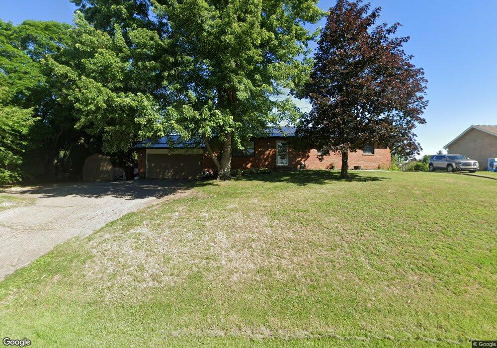
209 Clinton Rd Chillicothe, OH 45601
Estimated Value: $216,588 - $302,000
5
Beds
3
Baths
1,560
Sq Ft
$176/Sq Ft
Est. Value
About This Home
This home is located at 209 Clinton Rd, Chillicothe, OH 45601 and is currently estimated at $274,647, approximately $176 per square foot. 209 Clinton Rd is a home located in Ross County with nearby schools including Unioto Elementary School, Unioto Middle School, and Unioto High School.
Ownership History
Date
Name
Owned For
Owner Type
Purchase Details
Closed on
Aug 31, 2018
Sold by
Darling Suzanne E
Bought by
Mendenhall Faith L
Current Estimated Value
Home Financials for this Owner
Home Financials are based on the most recent Mortgage that was taken out on this home.
Original Mortgage
$165,938
Outstanding Balance
$144,410
Interest Rate
4.5%
Mortgage Type
FHA
Estimated Equity
$130,237
Purchase Details
Closed on
Nov 19, 2008
Sold by
Hamilton Elaine Rhine and Hamilton Claude Hayden
Bought by
Darling George C and Darling Suzanne E
Home Financials for this Owner
Home Financials are based on the most recent Mortgage that was taken out on this home.
Original Mortgage
$106,422
Interest Rate
6.3%
Mortgage Type
FHA
Create a Home Valuation Report for This Property
The Home Valuation Report is an in-depth analysis detailing your home's value as well as a comparison with similar homes in the area
Home Values in the Area
Average Home Value in this Area
Purchase History
| Date | Buyer | Sale Price | Title Company |
|---|---|---|---|
| Mendenhall Faith L | $169,000 | Northwest Title | |
| Darling Suzanne E | -- | Northwest Title | |
| Darling George C | $107,000 | Professional Closing Title A |
Source: Public Records
Mortgage History
| Date | Status | Borrower | Loan Amount |
|---|---|---|---|
| Open | Mendenhall Faith L | $165,938 | |
| Previous Owner | Darling George C | $106,422 |
Source: Public Records
Tax History Compared to Growth
Tax History
| Year | Tax Paid | Tax Assessment Tax Assessment Total Assessment is a certain percentage of the fair market value that is determined by local assessors to be the total taxable value of land and additions on the property. | Land | Improvement |
|---|---|---|---|---|
| 2024 | $1,760 | $56,600 | $9,450 | $47,150 |
| 2023 | $1,578 | $45,760 | $9,450 | $36,310 |
| 2022 | $2,116 | $45,760 | $9,450 | $36,310 |
| 2021 | $1,246 | $33,080 | $7,000 | $26,080 |
| 2020 | $1,253 | $33,080 | $7,000 | $26,080 |
| 2019 | $1,253 | $33,080 | $7,000 | $26,080 |
| 2018 | $1,148 | $29,720 | $7,000 | $22,720 |
| 2017 | $1,150 | $29,720 | $7,000 | $22,720 |
| 2016 | $1,121 | $29,720 | $7,000 | $22,720 |
| 2015 | $1,110 | $29,170 | $7,000 | $22,170 |
| 2014 | $1,083 | $29,170 | $7,000 | $22,170 |
| 2013 | $1,088 | $29,170 | $7,000 | $22,170 |
Source: Public Records
Map
Nearby Homes
- 2083 Anderson Station Rd
- 18 Sarah Ct
- 1036 Clinton Rd
- 12690 Pleasant Valley Rd
- 559 Golfview Dr
- 365 Golfview Dr
- 13223 Pleasant Valley Rd
- 320 Summerhill Dr
- 313 Goodale Dr
- 88 Fruit Hill Dr
- 310 Almahurst Dr
- 2153 Egypt Pike
- 265 Brookside Dr
- 45 Custer Dr
- 102 Franklin Cir
- 23 Shawnee Dr
- 11303 County Road 550
- 25 Woodland Way
- 54 Moccasin Dr
- 63 Page Rd
- 227 Clinton Rd
- 189 Clinton Rd
- 36 E Patrician Ct
- 24 E Patrician Ct
- 48 E Patrician Ct
- 40 Patrician Dr
- 60 E Patrician Ct
- 247 Clinton Rd
- 220 Clinton Rd
- 194 Clinton Rd
- 68 E Patrician Ct
- 234 Clinton Rd
- 151 Clinton Rd
- 271 Clinton Rd
- 37 E Patrician Ct
- 49 E Patrician Ct
- 25 E Patrician Ct
- 53 E Patrician Ct
- 76 E Patrician Ct
- 13 E Patrician Ct