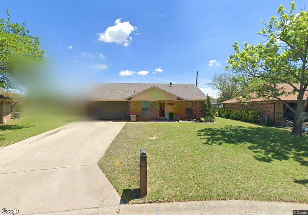
209 David Dr Sanger, TX 76266
Estimated Value: $228,680 - $278,000
3
Beds
1
Bath
1,189
Sq Ft
$211/Sq Ft
Est. Value
About This Home
This home is located at 209 David Dr, Sanger, TX 76266 and is currently estimated at $250,420, approximately $210 per square foot. 209 David Dr is a home located in Denton County with nearby schools including Chisholm Trail Elementary School, Clear Creek Intermediate School, and Sanger Sixth Grade Campus.
Ownership History
Date
Name
Owned For
Owner Type
Purchase Details
Closed on
Dec 8, 2000
Sold by
Fuller Odis E and Fuller Kathy A
Bought by
Burt Rick
Current Estimated Value
Home Financials for this Owner
Home Financials are based on the most recent Mortgage that was taken out on this home.
Original Mortgage
$65,000
Interest Rate
7.72%
Create a Home Valuation Report for This Property
The Home Valuation Report is an in-depth analysis detailing your home's value as well as a comparison with similar homes in the area
Home Values in the Area
Average Home Value in this Area
Purchase History
| Date | Buyer | Sale Price | Title Company |
|---|---|---|---|
| Burt Rick | -- | -- |
Source: Public Records
Mortgage History
| Date | Status | Borrower | Loan Amount |
|---|---|---|---|
| Previous Owner | Burt Rick | $65,000 | |
| Closed | Burt Rick | $12,187 |
Source: Public Records
Tax History
| Year | Tax Paid | Tax Assessment Tax Assessment Total Assessment is a certain percentage of the fair market value that is determined by local assessors to be the total taxable value of land and additions on the property. | Land | Improvement |
|---|---|---|---|---|
| 2025 | $4,012 | $177,008 | $70,540 | $106,468 |
| 2024 | $4,012 | $198,523 | $70,540 | $127,983 |
| 2023 | $4,222 | $208,339 | $52,905 | $155,434 |
| 2022 | $4,024 | $181,463 | $52,905 | $128,558 |
| 2021 | $2,774 | $132,007 | $35,270 | $96,737 |
| 2020 | $3,055 | $138,055 | $35,270 | $102,785 |
| 2019 | $3,162 | $138,898 | $35,270 | $103,628 |
| 2018 | $2,574 | $112,473 | $35,270 | $77,203 |
| 2017 | $2,479 | $107,794 | $35,270 | $72,524 |
| 2016 | $2,467 | $84,082 | $17,988 | $66,094 |
| 2015 | $1,672 | $80,558 | $17,988 | $62,570 |
| 2013 | -- | $72,606 | $17,988 | $54,618 |
Source: Public Records
Map
Nearby Homes
- 1001 Hunters Ct
- 113 Diane Dr
- 227 Diane Dr
- 226 Hillcrest St
- Tbd I35
- TBD Church St
- Tbd Church St
- 1804 Sand Stone Dr
- 1012 Cowling Rd
- 701 Keaton Rd S Unit S
- 2000 S Stemmons St
- 710 W Willow St
- 136 Eider Dr
- 124 Morning Glory
- 2004 S Stemmons St
- 821 Jennifer Ct
- 500 W Willow St
- 411 Hughes St
- 188 Aster Dr
- 141 Ringneck Dr
Your Personal Tour Guide
Ask me questions while you tour the home.