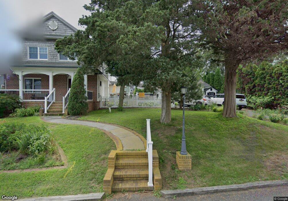
209 E Seaview Ave Linwood, NJ 08221
Estimated Value: $716,000 - $959,000
3
Beds
3
Baths
2,656
Sq Ft
$321/Sq Ft
Est. Value
About This Home
This home is located at 209 E Seaview Ave, Linwood, NJ 08221 and is currently estimated at $851,838, approximately $320 per square foot. 209 E Seaview Ave is a home located in Atlantic County with nearby schools including Seaview Elementary School, Belhaven Middle School, and Mainland Regional High School.
Ownership History
Date
Name
Owned For
Owner Type
Purchase Details
Closed on
Apr 20, 2017
Sold by
Yasin Robert W and Yasin Angie
Bought by
Williams Brain K and Dubois Thaddeus R
Current Estimated Value
Home Financials for this Owner
Home Financials are based on the most recent Mortgage that was taken out on this home.
Original Mortgage
$386,637
Outstanding Balance
$321,916
Interest Rate
4.23%
Mortgage Type
VA
Estimated Equity
$529,922
Purchase Details
Closed on
Nov 24, 2000
Sold by
Miller Jerold W and Miller Karen S
Bought by
Yaskin Robert W
Home Financials for this Owner
Home Financials are based on the most recent Mortgage that was taken out on this home.
Original Mortgage
$376,000
Interest Rate
7.62%
Mortgage Type
Purchase Money Mortgage
Purchase Details
Closed on
May 14, 1992
Sold by
Losco Carlo D
Bought by
Miller Jerold W and Miller Karen S
Purchase Details
Closed on
Sep 27, 1990
Sold by
Losco Carlo D
Bought by
Losco Carlo D
Create a Home Valuation Report for This Property
The Home Valuation Report is an in-depth analysis detailing your home's value as well as a comparison with similar homes in the area
Home Values in the Area
Average Home Value in this Area
Purchase History
| Date | Buyer | Sale Price | Title Company |
|---|---|---|---|
| Williams Brain K | $378,500 | Atlantic Shore Title Llc | |
| Yaskin Robert W | $470,000 | -- | |
| Miller Jerold W | $180,000 | -- | |
| Losco Carlo D | -- | -- |
Source: Public Records
Mortgage History
| Date | Status | Borrower | Loan Amount |
|---|---|---|---|
| Open | Williams Brain K | $386,637 | |
| Previous Owner | Yaskin Robert W | $376,000 |
Source: Public Records
Tax History Compared to Growth
Tax History
| Year | Tax Paid | Tax Assessment Tax Assessment Total Assessment is a certain percentage of the fair market value that is determined by local assessors to be the total taxable value of land and additions on the property. | Land | Improvement |
|---|---|---|---|---|
| 2025 | $18,636 | $488,500 | $272,100 | $216,400 |
| 2024 | $18,636 | $488,500 | $272,100 | $216,400 |
| 2023 | $17,772 | $488,500 | $272,100 | $216,400 |
| 2022 | $17,772 | $488,500 | $272,100 | $216,400 |
| 2021 | $17,615 | $488,500 | $272,100 | $216,400 |
| 2020 | $17,371 | $488,500 | $272,100 | $216,400 |
| 2019 | $17,000 | $488,500 | $272,100 | $216,400 |
| 2018 | $16,619 | $488,500 | $272,100 | $216,400 |
| 2017 | $16,287 | $488,500 | $272,100 | $216,400 |
| 2016 | $15,739 | $488,500 | $272,100 | $216,400 |
| 2015 | $15,754 | $488,500 | $272,100 | $216,400 |
| 2014 | $15,178 | $527,100 | $309,600 | $217,500 |
Source: Public Records
Map
Nearby Homes
- 1860 Franklin Blvd
- 110 E Seaview Ave
- 1930 Shore Rd
- 10 Sunset Ave
- 108 Holly Ln
- 14 Seagarden Dr
- 110 E Patcong Ave
- 18 Berkley St
- 18 Berkley Ave
- 208 Balfour Ave
- 118 Kirklin Ave
- 2254 Shore Rd
- 209 Berkshire Ave
- 19 E Ocean Heights Ave
- 493 Sara Ann Ct
- 102 Morris Ave
- 2 Shore Rd
- 1917 Ventnor Ave
- 23 Cambridge Unit 23
- 1714 New Rd
- 1990 Franklin Blvd
- 211 E Seaview Ave
- 213 E Seaview Ave
- 1900 Franklin Blvd
- 1998 Franklin Blvd
- 210 E Seaview Ave
- 1901 Franklin Blvd
- 2000 Franklin Blvd
- 1840 Franklin Blvd
- 1903 Franklin Blvd
- 1905 Franklin Blvd
- 139 E Seaview Ave
- 1830 Franklin Blvd
- 200 Iona Ave
- 110 Dawn Dr
- 109 Dawn Dr
- 137 E Seaview Ave
- 1820 Franklin Blvd
- 1820 Franklin Blvd
- 1820 Franklin Blvd