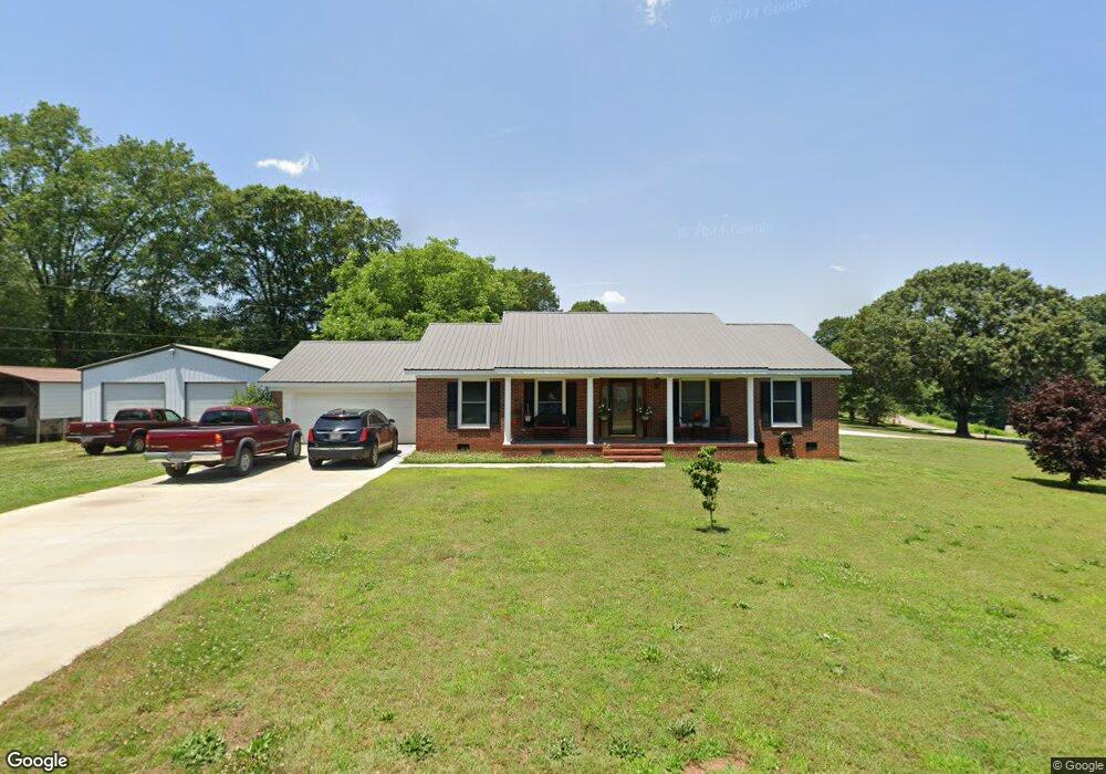
209 Gordon Cir Anderson, SC 29626
Estimated Value: $139,000 - $259,385
3
Beds
--
Bath
1,172
Sq Ft
$187/Sq Ft
Est. Value
About This Home
This home is located at 209 Gordon Cir, Anderson, SC 29626 and is currently estimated at $218,846, approximately $186 per square foot. 209 Gordon Cir is a home located in Anderson County with nearby schools including Varennes Elementary School, Robert Anderson Middle School, and Westside High School.
Ownership History
Date
Name
Owned For
Owner Type
Purchase Details
Closed on
Nov 7, 2008
Sold by
Warren Steve
Bought by
Warren Trenia L
Current Estimated Value
Home Financials for this Owner
Home Financials are based on the most recent Mortgage that was taken out on this home.
Original Mortgage
$90,000
Outstanding Balance
$59,166
Interest Rate
6.11%
Mortgage Type
Credit Line Revolving
Estimated Equity
$159,680
Create a Home Valuation Report for This Property
The Home Valuation Report is an in-depth analysis detailing your home's value as well as a comparison with similar homes in the area
Home Values in the Area
Average Home Value in this Area
Purchase History
| Date | Buyer | Sale Price | Title Company |
|---|---|---|---|
| Warren Trenia L | -- | -- |
Source: Public Records
Mortgage History
| Date | Status | Borrower | Loan Amount |
|---|---|---|---|
| Open | Warren Trenia L | $90,000 |
Source: Public Records
Tax History Compared to Growth
Tax History
| Year | Tax Paid | Tax Assessment Tax Assessment Total Assessment is a certain percentage of the fair market value that is determined by local assessors to be the total taxable value of land and additions on the property. | Land | Improvement |
|---|---|---|---|---|
| 2024 | $441 | $5,620 | $1,490 | $4,130 |
| 2023 | $441 | $5,620 | $1,490 | $4,130 |
| 2022 | $699 | $5,620 | $1,490 | $4,130 |
| 2021 | $664 | $5,190 | $1,440 | $3,750 |
| 2020 | $657 | $5,190 | $1,440 | $3,750 |
| 2019 | $657 | $5,190 | $1,440 | $3,750 |
| 2018 | $589 | $4,630 | $880 | $3,750 |
| 2017 | -- | $4,630 | $880 | $3,750 |
| 2016 | $553 | $4,210 | $400 | $3,810 |
| 2015 | $526 | $4,210 | $400 | $3,810 |
| 2014 | $521 | $6,320 | $600 | $5,720 |
Source: Public Records
Map
Nearby Homes
- 505 Lewis St
- 431 Lewis St
- 112 Flowe Rd
- 3308 New Pond Rd
- 00 Hwy 28 Bypass New Pond Rd
- 612 Martha Dr
- 114 Hillcrest Cir Unit A
- 114 Hillcrest Cir
- 222 Hillcrest Cir
- AUBURN Plan at Shockley Bend
- BENNINGTON Plan at Shockley Bend
- BERKSHIRE Plan at Shockley Bend
- 636 Jasmin Dr
- 719 Dora Dr
- 701 Delia St
- 701 Delia St Unit B
- 701 Delia St Unit A
- 312 W Roosevelt Dr
- 46 S Lyons St
- 00 Ila St
- 301 Renee Way
- 300 Renee Way
- 208 Gordon Cir
- 206 Gordon Cir
- 303 Renee Way
- 207 Gordon Cir
- 302 Renee Way
- 302 Renee Way
- 305 Renee Way
- 202 Gordon Cir
- Lots 26 & 27 Renee Way
- 203 Gordon Cir
- 305 Gordon Cir
- Lot #27 Renee Way
- Lot #26 Renee Way
- 307 Renee Way
- 309 Renee Way
- 311 Renee Way
- 1202 Highway 29 S
- 1220 Highway 29 S