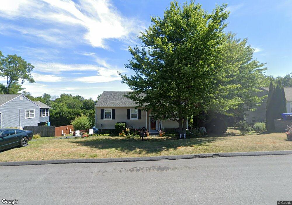
209 Heights Dr Torrington, CT 06790
Estimated Value: $306,435 - $322,000
3
Beds
2
Baths
1,046
Sq Ft
$301/Sq Ft
Est. Value
About This Home
This home is located at 209 Heights Dr, Torrington, CT 06790 and is currently estimated at $315,109, approximately $301 per square foot. 209 Heights Dr is a home located in Litchfield County with nearby schools including Torrington Middle School, Torrington High School, and St. John Paul the Great Academy.
Ownership History
Date
Name
Owned For
Owner Type
Purchase Details
Closed on
Feb 5, 1999
Sold by
Galaise Jeffrey P and Galaise Janice A
Bought by
Parks Michael A and Parks Sarah E
Current Estimated Value
Home Financials for this Owner
Home Financials are based on the most recent Mortgage that was taken out on this home.
Original Mortgage
$86,190
Interest Rate
6.74%
Create a Home Valuation Report for This Property
The Home Valuation Report is an in-depth analysis detailing your home's value as well as a comparison with similar homes in the area
Home Values in the Area
Average Home Value in this Area
Purchase History
| Date | Buyer | Sale Price | Title Company |
|---|---|---|---|
| Parks Michael A | $84,500 | -- |
Source: Public Records
Mortgage History
| Date | Status | Borrower | Loan Amount |
|---|---|---|---|
| Open | Parks Michael A | $118,000 | |
| Closed | Parks Michael A | $106,000 | |
| Closed | Parks Michael A | $86,190 |
Source: Public Records
Tax History
| Year | Tax Paid | Tax Assessment Tax Assessment Total Assessment is a certain percentage of the fair market value that is determined by local assessors to be the total taxable value of land and additions on the property. | Land | Improvement |
|---|---|---|---|---|
| 2025 | $6,869 | $178,640 | $33,600 | $145,040 |
| 2024 | $4,489 | $93,570 | $27,500 | $66,070 |
| 2023 | $4,488 | $93,570 | $27,500 | $66,070 |
| 2022 | $4,411 | $93,570 | $27,500 | $66,070 |
| 2021 | $4,320 | $93,570 | $27,500 | $66,070 |
| 2020 | $4,320 | $93,570 | $27,500 | $66,070 |
| 2019 | $3,953 | $85,620 | $30,560 | $55,060 |
| 2018 | $3,953 | $85,620 | $30,560 | $55,060 |
| 2017 | $3,917 | $85,620 | $30,560 | $55,060 |
| 2016 | $3,917 | $85,620 | $30,560 | $55,060 |
| 2015 | $3,917 | $85,620 | $30,560 | $55,060 |
| 2014 | $4,061 | $111,800 | $40,950 | $70,850 |
Source: Public Records
Map
Nearby Homes
- 129 Oakbrook Ln
- 85 Ford Ln
- 7 Ford Ln
- 398 Funston Ave
- 155 Allen Rd
- 95 Colorado Ave N
- 0 Highland Ave Unit 24088105
- 169 Central Ave
- 349 Allen Rd Unit 45D
- 68 Westledge Terrace
- 146 Beechwood Ave
- 163 Beechwood Ave
- 115 Beechwood Ave
- 108 Culvert St
- 19 Hillcrest St
- 80 Washington Ave
- 83 Chelsea Ct
- 30 Culvert St
- 75 Maple St
- 116 High St
- 219 Heights Dr
- 197 Heights Dr
- 70 Lawrence Ln
- 82 Lawrence Ln
- 229 Heights Dr
- 185 Heights Dr
- 56 Lawrence Ln
- 208 Heights Dr
- 94 Lawrence Ln
- 220 Heights Dr
- 241 Heights Dr
- 167 Heights Dr
- 16 Overlook Ct
- 42 Lawrence Ln
- 232 Heights Dr
- 106 Lawrence Ln
- 71 Lawrence Ln
- 83 Lawrence Ln
- 63 Lawrence Ln
- 23 Overlook Ct
Your Personal Tour Guide
Ask me questions while you tour the home.