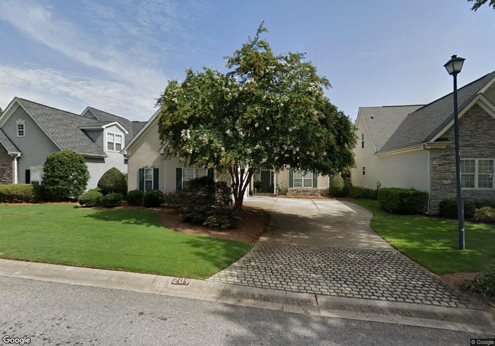
209 Lenox Dr Unit 7 Peachtree City, GA 30269
Estimated Value: $542,000 - $622,000
--
Bed
--
Bath
2,274
Sq Ft
$252/Sq Ft
Est. Value
About This Home
This home is located at 209 Lenox Dr Unit 7, Peachtree City, GA 30269 and is currently estimated at $572,003, approximately $251 per square foot. 209 Lenox Dr Unit 7 is a home located in Fayette County with nearby schools including Kedron Elementary School, Booth Middle School, and McIntosh High School.
Ownership History
Date
Name
Owned For
Owner Type
Purchase Details
Closed on
Jun 15, 2001
Sold by
Hyland Developers
Bought by
Mclain Kenneth M and Mclain Ann G
Current Estimated Value
Home Financials for this Owner
Home Financials are based on the most recent Mortgage that was taken out on this home.
Original Mortgage
$140,000
Outstanding Balance
$53,017
Interest Rate
7.06%
Mortgage Type
New Conventional
Estimated Equity
$518,986
Create a Home Valuation Report for This Property
The Home Valuation Report is an in-depth analysis detailing your home's value as well as a comparison with similar homes in the area
Home Values in the Area
Average Home Value in this Area
Purchase History
| Date | Buyer | Sale Price | Title Company |
|---|---|---|---|
| Mclain Kenneth M | $222,900 | -- |
Source: Public Records
Mortgage History
| Date | Status | Borrower | Loan Amount |
|---|---|---|---|
| Open | Mclain Kenneth M | $140,000 |
Source: Public Records
Tax History Compared to Growth
Tax History
| Year | Tax Paid | Tax Assessment Tax Assessment Total Assessment is a certain percentage of the fair market value that is determined by local assessors to be the total taxable value of land and additions on the property. | Land | Improvement |
|---|---|---|---|---|
| 2024 | $2,892 | $193,948 | $24,700 | $169,248 |
| 2023 | $2,396 | $185,660 | $24,700 | $160,960 |
| 2022 | $2,834 | $177,300 | $24,700 | $152,600 |
| 2021 | $2,744 | $140,300 | $24,700 | $115,600 |
| 2020 | $2,751 | $132,780 | $24,700 | $108,080 |
| 2019 | $2,834 | $135,420 | $24,700 | $110,720 |
| 2018 | $2,803 | $131,860 | $24,700 | $107,160 |
| 2017 | $2,738 | $127,540 | $24,700 | $102,840 |
| 2016 | $2,588 | $114,940 | $24,700 | $90,240 |
| 2015 | $2,423 | $105,940 | $24,700 | $81,240 |
| 2014 | $2,333 | $99,980 | $24,700 | $75,280 |
| 2013 | -- | $98,100 | $0 | $0 |
Source: Public Records
Map
Nearby Homes
- 522 Colebrook Way
- 440 Bandon Way
- 549 Colebrook Way
- 109 Denham Square Unit I
- 308 Corrigan Trace
- 319 Corrigan Trace
- 324 Elkins Place
- 112 Bridgewater Dr
- 134 Mellington Ln
- 106 Stamford Ave
- 325 Caledonia Ct
- 218 Florence Rd
- 510 Cunninghame Ct
- 308 Bandon Way
- 203 Birkhill
- 105 Bandon Way
- 206 Roundwood Way
- 102 Bandon Way
- 101 Eadestowne Way
- 210 Bandon Way
- 211 Lenox Dr
- 207 Lenox Dr
- 207 Lenox Dr Unit 32
- 205 Lenox Dr
- 213 Lenox Dr
- 0 Lenox Dr Unit 7317757
- 0 Lenox Dr Unit 8678505
- 0 Lenox Dr Unit 8639370
- 0 Lenox Dr Unit 8366013
- 0 Lenox Dr Unit 8783208
- 0 Lenox Dr Unit 8789083
- 0 Lenox Dr Unit 8179282
- 0 Lenox Dr Unit 8140541
- 0 Lenox Dr Unit 8126025
- 0 Lenox Dr Unit 8245068
- 0 Lenox Dr
- 108 Woodsdale Dr
- 216 Lenox Dr
- 214 Lenox Dr
- 203 Lenox Dr