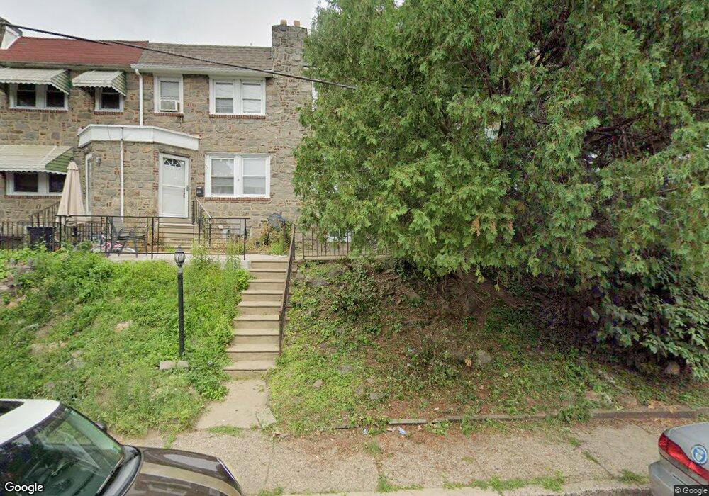
209 Margate Rd Upper Darby, PA 19082
Estimated Value: $177,000 - $199,000
3
Beds
1
Bath
1,366
Sq Ft
$139/Sq Ft
Est. Value
About This Home
This home is located at 209 Margate Rd, Upper Darby, PA 19082 and is currently estimated at $190,228, approximately $139 per square foot. 209 Margate Rd is a home located in Delaware County with nearby schools including Bywood Elementary School, Upper Darby Kdg Center, and Upper Darby High School.
Ownership History
Date
Name
Owned For
Owner Type
Purchase Details
Closed on
May 15, 1997
Sold by
Lawless Barbara A
Bought by
Wrotto Nathaniel C
Current Estimated Value
Home Financials for this Owner
Home Financials are based on the most recent Mortgage that was taken out on this home.
Original Mortgage
$62,400
Outstanding Balance
$8,635
Interest Rate
8.12%
Estimated Equity
$181,593
Purchase Details
Closed on
Sep 19, 1996
Sold by
Napoletano Josephine and Lawless Barbara A
Bought by
Napoletano Josephine and Lawless Barbara A
Create a Home Valuation Report for This Property
The Home Valuation Report is an in-depth analysis detailing your home's value as well as a comparison with similar homes in the area
Home Values in the Area
Average Home Value in this Area
Purchase History
| Date | Buyer | Sale Price | Title Company |
|---|---|---|---|
| Wrotto Nathaniel C | $62,500 | T A Title Insurance Company | |
| Napoletano Josephine | -- | -- |
Source: Public Records
Mortgage History
| Date | Status | Borrower | Loan Amount |
|---|---|---|---|
| Open | Wrotto Nathaniel C | $62,400 |
Source: Public Records
Tax History
| Year | Tax Paid | Tax Assessment Tax Assessment Total Assessment is a certain percentage of the fair market value that is determined by local assessors to be the total taxable value of land and additions on the property. | Land | Improvement |
|---|---|---|---|---|
| 2025 | $3,510 | $83,000 | $22,410 | $60,590 |
| 2024 | $3,510 | $83,000 | $22,410 | $60,590 |
| 2023 | $3,477 | $83,000 | $22,410 | $60,590 |
| 2022 | $3,384 | $83,000 | $22,410 | $60,590 |
| 2021 | $4,562 | $83,000 | $22,410 | $60,590 |
| 2020 | $3,598 | $55,620 | $17,430 | $38,190 |
| 2019 | $3,535 | $55,620 | $17,430 | $38,190 |
| 2018 | $3,494 | $55,620 | $0 | $0 |
| 2017 | $3,403 | $55,620 | $0 | $0 |
| 2016 | $305 | $55,620 | $0 | $0 |
| 2015 | $311 | $55,620 | $0 | $0 |
| 2014 | $305 | $55,620 | $0 | $0 |
Source: Public Records
Map
Nearby Homes
- 211 Margate Rd
- 205 Margate Rd
- 217 Margate Rd
- 229 Margate Rd
- 214 Springton Rd
- 214 Margate Rd
- 204 Margate Rd
- 202 Margate Rd
- 216 Margate Rd
- 218 Margate Rd
- 220 Margate Rd
- 776 Garrett Rd
- 222 Margate Rd
- 224 Margate Rd
- 226 Margate Rd
- 305 Huntley Rd
- 228 Margate Rd
- 209 Sherbrook Blvd
- 207 Sherbrook Blvd
- 211 Sherbrook Blvd
Your Personal Tour Guide
Ask me questions while you tour the home.