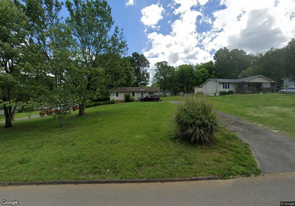
209 Matt Cir SE Unit 47 Cleveland, TN 37323
Estimated Value: $180,000 - $244,000
--
Bed
1
Bath
1,008
Sq Ft
$208/Sq Ft
Est. Value
About This Home
This home is located at 209 Matt Cir SE Unit 47, Cleveland, TN 37323 and is currently estimated at $209,954, approximately $208 per square foot. 209 Matt Cir SE Unit 47 is a home located in Bradley County with nearby schools including Waterville Community Elementary School, Lake Forest Middle School, and Bradley Central High School.
Ownership History
Date
Name
Owned For
Owner Type
Purchase Details
Closed on
Feb 28, 2020
Sold by
Hensley Angelia L and Stinnett Amanda
Bought by
Gray Brandon L
Current Estimated Value
Home Financials for this Owner
Home Financials are based on the most recent Mortgage that was taken out on this home.
Original Mortgage
$106,060
Outstanding Balance
$94,109
Interest Rate
3.6%
Mortgage Type
New Conventional
Estimated Equity
$115,845
Create a Home Valuation Report for This Property
The Home Valuation Report is an in-depth analysis detailing your home's value as well as a comparison with similar homes in the area
Home Values in the Area
Average Home Value in this Area
Purchase History
| Date | Buyer | Sale Price | Title Company |
|---|---|---|---|
| Gray Brandon L | $105,000 | None Available |
Source: Public Records
Mortgage History
| Date | Status | Borrower | Loan Amount |
|---|---|---|---|
| Open | Gray Brandon L | $106,060 |
Source: Public Records
Tax History Compared to Growth
Tax History
| Year | Tax Paid | Tax Assessment Tax Assessment Total Assessment is a certain percentage of the fair market value that is determined by local assessors to be the total taxable value of land and additions on the property. | Land | Improvement |
|---|---|---|---|---|
| 2024 | $493 | $27,725 | $4,000 | $23,725 |
| 2023 | $493 | $27,725 | $4,000 | $23,725 |
| 2022 | $493 | $27,725 | $4,000 | $23,725 |
| 2021 | $493 | $27,725 | $0 | $0 |
| 2020 | $455 | $27,725 | $0 | $0 |
| 2019 | $455 | $20,475 | $0 | $0 |
| 2018 | $433 | $0 | $0 | $0 |
| 2017 | $409 | $0 | $0 | $0 |
| 2016 | $409 | $0 | $0 | $0 |
| 2015 | $405 | $0 | $0 | $0 |
| 2014 | $330 | $0 | $0 | $0 |
Source: Public Records
Map
Nearby Homes
- 290 Pebble Ridge Dr SE
- 244 Pebble Ridge Dr SE
- 160 Lauren Dr SE
- 126 Old Pond Rd SE
- 139 Fox Farm Trail SE
- 0 SE Bates Pike Unit 1516795
- 0 SE Bates Pike Unit 20253230
- 4193 Bates Pike SE
- Lot 16 Greystone Park
- 16 Greystone Ln SE
- 95 Greystone Ln SE
- 82 Greystone Ln SE
- Lot 82 Greystone Ln SE
- Tract 3 Bates Pike SE
- 691 Hughes Rd SE
- 145 Burkeridge Dr SE
- 2 Lots Sun High Ct SE
- 7.7 Acres Waterlevel Hwy E
- 217 McClanahan Rd SE
- 5049 Bates Pike SE
- 209 Matt Cir SE
- 221 Matt Cir SE
- 203 Matt Cir SE
- 233 Matt Cir SE
- 189 Matt Cir SE
- 315 Matt Cir SE
- 327 Matt Cir SE
- 309 Matt Cir SE
- 212 Matt Cir SE
- 226 Matt Cir SE
- 173 Matt Cir SE
- 335 Matt Cir SE
- 218 Matt Cir SE
- 200 Matt Cir SE
- 253 Matt Cir SE
- 192 Matt Cir SE
- 343 Matt Cir SE
- 238 Matt Cir SE
- 163 Matt Cir SE
- 285 Matt Cir SE