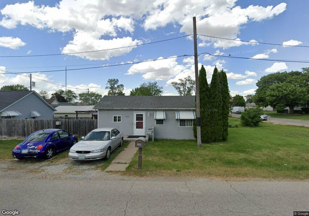
209 Mcarthur St Muscatine, IA 52761
Estimated Value: $119,000 - $133,000
2
Beds
1
Bath
780
Sq Ft
$163/Sq Ft
Est. Value
About This Home
This home is located at 209 Mcarthur St, Muscatine, IA 52761 and is currently estimated at $126,858, approximately $162 per square foot. 209 Mcarthur St is a home located in Muscatine County with nearby schools including Muskie Early Learning Center, Madison Elementary School, and Central Middle School.
Ownership History
Date
Name
Owned For
Owner Type
Purchase Details
Closed on
May 24, 2007
Sold by
Daniels Shawn M and Daniels Kelly
Bought by
Humphries Kenneth D
Current Estimated Value
Home Financials for this Owner
Home Financials are based on the most recent Mortgage that was taken out on this home.
Original Mortgage
$73,815
Outstanding Balance
$45,144
Interest Rate
6.27%
Mortgage Type
New Conventional
Estimated Equity
$81,714
Create a Home Valuation Report for This Property
The Home Valuation Report is an in-depth analysis detailing your home's value as well as a comparison with similar homes in the area
Home Values in the Area
Average Home Value in this Area
Purchase History
| Date | Buyer | Sale Price | Title Company |
|---|---|---|---|
| Humphries Kenneth D | $78,000 | None Available |
Source: Public Records
Mortgage History
| Date | Status | Borrower | Loan Amount |
|---|---|---|---|
| Open | Humphries Kenneth D | $73,815 |
Source: Public Records
Tax History Compared to Growth
Tax History
| Year | Tax Paid | Tax Assessment Tax Assessment Total Assessment is a certain percentage of the fair market value that is determined by local assessors to be the total taxable value of land and additions on the property. | Land | Improvement |
|---|---|---|---|---|
| 2025 | $1,944 | $118,550 | $9,710 | $108,840 |
| 2024 | $1,944 | $117,490 | $9,710 | $107,780 |
| 2023 | $2,056 | $113,547 | $9,720 | $103,827 |
| 2022 | $1,790 | $111,050 | $9,170 | $101,880 |
| 2021 | $1,790 | $96,720 | $9,170 | $87,550 |
| 2020 | $1,702 | $93,960 | $9,170 | $84,790 |
| 2019 | $1,558 | $79,010 | $0 | $0 |
| 2018 | $1,354 | $70,840 | $0 | $0 |
| 2017 | $1,354 | $70,840 | $0 | $0 |
| 2016 | $1,404 | $70,840 | $0 | $0 |
| 2015 | $1,404 | $68,380 | $0 | $0 |
| 2014 | $1,358 | $68,380 | $0 | $0 |
Source: Public Records
Map
Nearby Homes
- 2104 Grand Ave
- 1707 Lincoln Blvd
- 503 Mcarthur St
- 1509 Lincoln Blvd
- 1903 Park Ave
- 1903 Park Ave
- 1510 1st Ave
- 613 Lake Park Blvd
- 621 Sub van Buren
- 416 Jackson St
- 1215 Grand Ave
- 514 Jackson St
- 1708 Cobblestone Dr
- 1210 Park Ave
- 603 Adams St
- 504 Adams St
- 1126 Park Ave
- 521 Monroe St
- 0 U S 61 Unit 25549725
- 2109 5th Ave
- 2016 Grand Ave
- 2108 Grand Ave
- 207 Mcarthur St
- 2014 Grand Ave
- 2110 Grand Ave
- 115 Mcarthur St
- 2107 Lincoln Blvd
- 211 Mcarthur St
- 2109 Lincoln Blvd
- 208 Mcarthur St
- 2008 Grand Ave
- 2114 Grand Ave
- 2111 Lincoln Blvd
- 113 Mcarthur St
- 2105 Grand Ave
- 2009 Lincoln Blvd
- 1820 Park Ave
- 2118 Grand Ave
- 2111 Grand Ave
- 2123 Lincoln Blvd