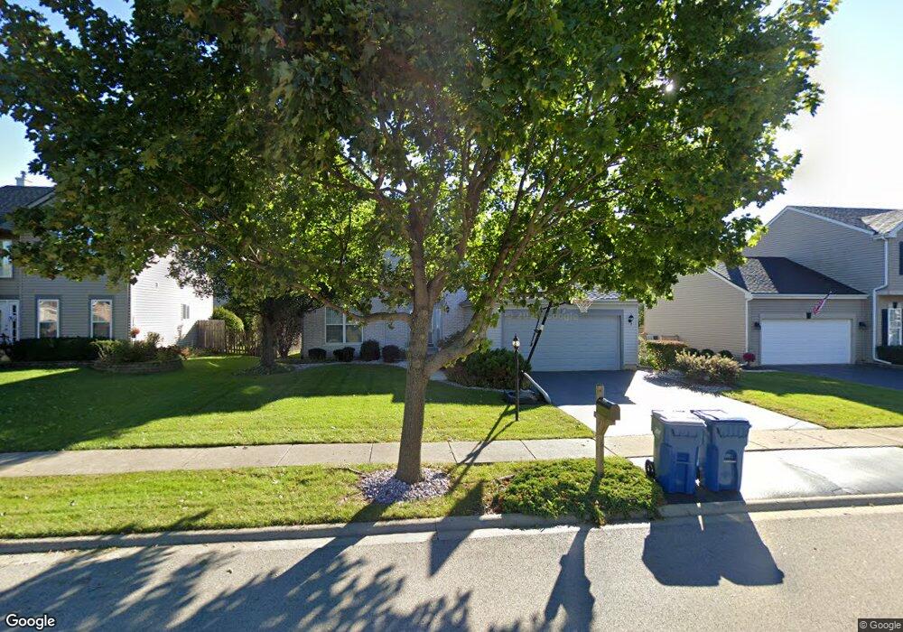
209 Moorehead Dr Bartlett, IL 60103
Estimated Value: $485,000 - $504,000
About This Home
This home is located at 209 Moorehead Dr, Bartlett, IL 60103 and is currently estimated at $490,049, approximately $220 per square foot. 209 Moorehead Dr is a home located in Cook County with nearby schools including Nature Ridge Elementary School, Kenyon Woods Middle School, and South Elgin High School.
Ownership History
We collect this data history from publicly available records. To have your information removed, we recommend requesting removal directly through your county’s website.
Purchase Details
Home Financials for this Owner
Home Financials are based on the most recent Mortgage that was taken out on this home.Purchase Details
Home Financials for this Owner
Home Financials are based on the most recent Mortgage that was taken out on this home.Purchase Details
Purchase Details
Home Financials for this Owner
Home Financials are based on the most recent Mortgage that was taken out on this home.Home Values in the Area
Average Home Value in this Area
Purchase History
We collect this data history from publicly available records. To have your information removed, we recommend requesting removal directly through your county’s website.
| Date | Buyer | Sale Price | Title Company |
|---|---|---|---|
| -- | -- | ||
| -- | Heritage Title Company | ||
| -- | -- | ||
| $194,500 | -- |
Mortgage History
We collect this data history from publicly available records. To have your information removed, we recommend requesting removal directly through your county’s website.
| Date | Status | Borrower | Loan Amount |
|---|---|---|---|
| Closed | $67,000 | ||
| Previous Owner | $120,000 | ||
| Previous Owner | $105,000 |
Tax History
We collect this data history from publicly available records. To have your information removed, we recommend requesting removal directly through your county’s website.
| Year | Tax Paid | Tax Assessment Tax Assessment Total Assessment is a certain percentage of the fair market value that is determined by local assessors to be the total taxable value of land and additions on the property. | Land | Improvement |
|---|---|---|---|---|
| 2025 | $9,788 | $44,000 | $7,785 | $36,215 |
| 2024 | $9,788 | $32,324 | $6,617 | $25,707 |
| 2023 | $9,433 | $33,681 | $6,617 | $27,064 |
| 2022 | $9,433 | $33,681 | $6,617 | $27,064 |
| 2021 | $8,794 | $26,473 | $5,838 | $20,635 |
| 2020 | $8,749 | $26,473 | $5,838 | $20,635 |
| 2019 | $8,675 | $29,415 | $5,838 | $23,577 |
| 2018 | $6,952 | $22,516 | $5,060 | $17,456 |
| 2017 | $6,852 | $22,516 | $5,060 | $17,456 |
| 2016 | $7,190 | $24,002 | $5,060 | $18,942 |
| 2015 | $6,528 | $20,645 | $4,476 | $16,169 |
| 2014 | $7,682 | $24,061 | $4,476 | $19,585 |
| 2013 | $7,358 | $24,061 | $4,476 | $19,585 |
Map
- 1948 Sundrop Ct
- 2342 Southwind Blvd
- 1916 Blue Heron Cir
- 420 Blue Heron Cir
- 126 7th Ave
- 106 8th Ave
- 87 12th Ave
- 476 Topaz Ln
- 1563 Deer Pointe Dr
- 1609 Deer Pointe Dr
- 1609 Spaulding Rd Unit 514
- 1603 Deer Pointe Dr
- 532 Rose Ln
- 533 Rose Ln Unit 2
- 550 Rose Ln
- 1077 Moraine Dr
- 1096 Moraine Dr
- 1004 Atterberg Rd
- 633 Versailles Dr
- 569 Rose Ln
- 202 Cummings Dr
- 206 Cummings Dr
- 2035 Grovetown Dr Unit 1
- 2039 Grovetown Dr Unit 1
- 201 Moorehead Dr
- 205 Moorehead Dr
- 210 Cummings Dr
- 2043 Grovetown Dr
- 207 Cummings Dr
- 203 Cummings Dr
- 2029 Grovetown Dr
- 211 Cummings Dr
- 214 Cummings Dr
- 215 Cummings Dr Unit 2
- 2027 Grovetown Dr
- 213 Moorehead Dr
- 2025 Grovetown Dr
- 2051 Grovetown Dr
- 2036 Grovetown Dr
- 218 Cummings Dr
Ask me questions while you tour the home.