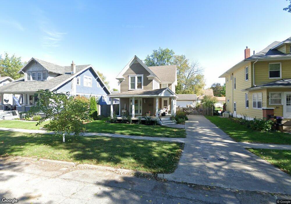
209 Myrtle St Creston, IA 50801
Estimated Value: $117,116 - $131,000
4
Beds
1
Bath
1,312
Sq Ft
$94/Sq Ft
Est. Value
About This Home
This home is located at 209 Myrtle St, Creston, IA 50801 and is currently estimated at $122,779, approximately $93 per square foot. 209 Myrtle St is a home with nearby schools including Creston Early Childhood Center, Creston Elementary School, and Creston Middle School.
Ownership History
Date
Name
Owned For
Owner Type
Purchase Details
Closed on
Nov 28, 2018
Sold by
Peckham Dustin L and Peckham Amy M
Bought by
Larson Karl A and Larson Susan
Current Estimated Value
Home Financials for this Owner
Home Financials are based on the most recent Mortgage that was taken out on this home.
Original Mortgage
$60,800
Outstanding Balance
$38,406
Interest Rate
4.8%
Mortgage Type
Stand Alone Refi Refinance Of Original Loan
Estimated Equity
$84,373
Create a Home Valuation Report for This Property
The Home Valuation Report is an in-depth analysis detailing your home's value as well as a comparison with similar homes in the area
Home Values in the Area
Average Home Value in this Area
Purchase History
| Date | Buyer | Sale Price | Title Company |
|---|---|---|---|
| Larson Karl A | $76,000 | -- | |
| Larson Karl A | $76,000 | -- |
Source: Public Records
Mortgage History
| Date | Status | Borrower | Loan Amount |
|---|---|---|---|
| Open | Larson Karl A | $60,800 | |
| Closed | Larson Karl A | $60,800 |
Source: Public Records
Tax History Compared to Growth
Tax History
| Year | Tax Paid | Tax Assessment Tax Assessment Total Assessment is a certain percentage of the fair market value that is determined by local assessors to be the total taxable value of land and additions on the property. | Land | Improvement |
|---|---|---|---|---|
| 2025 | $1,874 | $102,160 | $8,840 | $93,320 |
| 2024 | $1,874 | $100,580 | $8,840 | $91,740 |
| 2023 | $1,602 | $77,460 | $8,110 | $69,350 |
| 2022 | $1,820 | $66,370 | $8,110 | $58,260 |
| 2021 | $1,820 | $71,120 | $7,580 | $63,540 |
| 2020 | $1,188 | $77,030 | $6,320 | $70,710 |
| 2019 | $1,210 | $47,910 | $0 | $0 |
| 2018 | $1,156 | $47,910 | $0 | $0 |
| 2017 | $960 | $47,910 | $0 | $0 |
| 2016 | $942 | $47,910 | $0 | $0 |
| 2015 | $942 | $43,960 | $0 | $0 |
| 2014 | $870 | $43,960 | $0 | $0 |
Source: Public Records
Map
Nearby Homes
- 1100 W Jefferson St
- 221 S Peterson St
- 1201 W Jefferson St
- 1104 W Adams St
- 915 W Montgomery St
- 103 N Sumner Ave
- 905 W Montgomery St
- 600 W Adams St Unit B South Side
- 519 New York Ave
- 1109 W Mills St
- 419 New York Ave
- 609 W Montgomery St
- 602 W Montgomery St
- 700 Hickory St
- 305 N Sycamore St
- 507 W Howard St
- 408 S Elm St
- 803 Quiet Harbor Unit 25 leased lot
- 303 W Mills St
- 210 S Maple St
- 211 Myrtle St
- 207 Myrtle St
- 213 Myrtle St
- 205 Myrtle St
- 208 S Peterson St
- 208 Myrtle St
- 215 Myrtle St
- 210 Myrtle St
- 204 Myrtle St
- 206 S Peterson St
- 1006 W Jefferson St
- 201 Myrtle St
- 212 Myrtle St
- 204 S Peterson St
- 217 Myrtle St
- 214 Myrtle St
- 210 S Peterson St
- 202 S Peterson St
- 1002 W Jefferson St
- 203 S Lincoln St