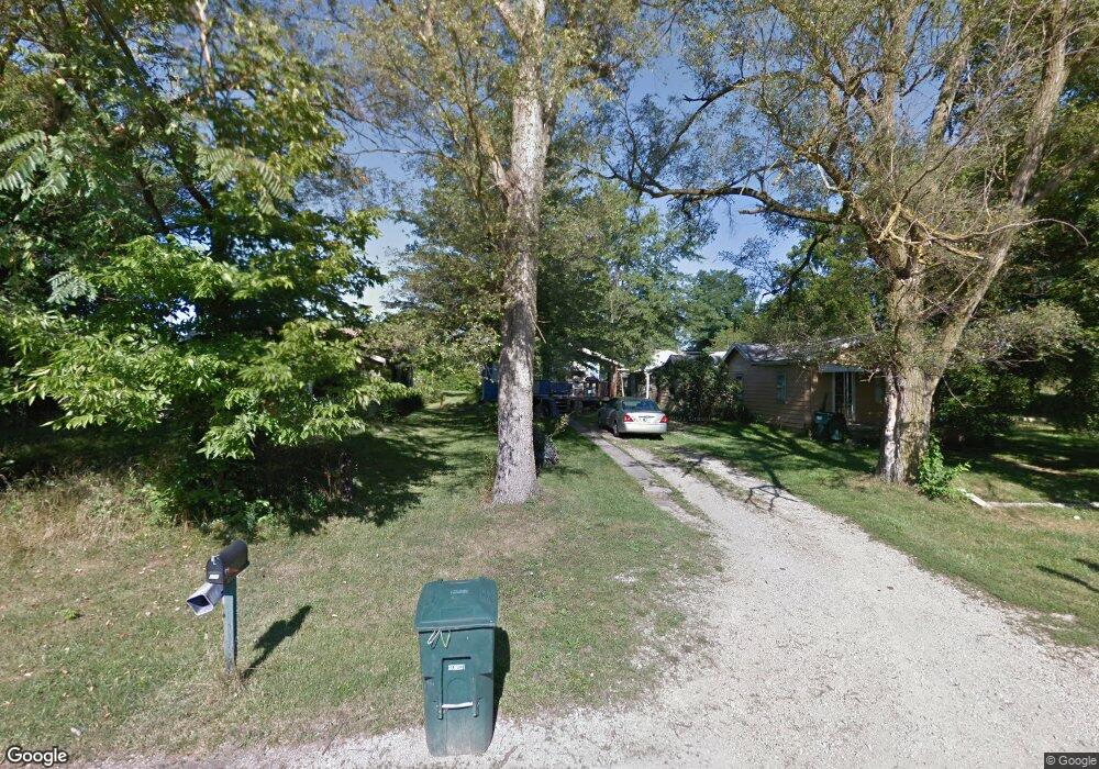
209 N Leland Ave Muncie, IN 47303
Eastside NeighborhoodEstimated Value: $274,000
--
Bed
1
Bath
--
Sq Ft
7,275
Sq Ft Lot
About This Home
This home is located at 209 N Leland Ave, Muncie, IN 47303 and is currently priced at $274,000. 209 N Leland Ave is a home located in Delaware County with nearby schools including Longfellow Elementary School, Muncie Central High School, and Northside Middle School.
Ownership History
Date
Name
Owned For
Owner Type
Purchase Details
Closed on
Dec 20, 2021
Sold by
Muncie Eastside Neighborhood Rentals Llc
Bought by
Kpep Llc
Current Estimated Value
Purchase Details
Closed on
Aug 25, 2014
Sold by
Price & Price Enterprises Llc
Bought by
Muncie Eastside Neighborhood
Purchase Details
Closed on
Feb 4, 2013
Sold by
Bill & Mary Jones Living Trust
Bought by
Price & Price Enterprises Llc
Home Financials for this Owner
Home Financials are based on the most recent Mortgage that was taken out on this home.
Original Mortgage
$156,000
Interest Rate
3.3%
Mortgage Type
Purchase Money Mortgage
Create a Home Valuation Report for This Property
The Home Valuation Report is an in-depth analysis detailing your home's value as well as a comparison with similar homes in the area
Home Values in the Area
Average Home Value in this Area
Purchase History
| Date | Buyer | Sale Price | Title Company |
|---|---|---|---|
| Kpep Llc | -- | In Title | |
| Muncie Eastside Neighborhood | -- | -- | |
| Price & Price Enterprises Llc | -- | Itic |
Source: Public Records
Mortgage History
| Date | Status | Borrower | Loan Amount |
|---|---|---|---|
| Previous Owner | Price & Price Enterprises Llc | $156,000 |
Source: Public Records
Tax History Compared to Growth
Tax History
| Year | Tax Paid | Tax Assessment Tax Assessment Total Assessment is a certain percentage of the fair market value that is determined by local assessors to be the total taxable value of land and additions on the property. | Land | Improvement |
|---|---|---|---|---|
| 2022 | $111 | $3,700 | $3,700 | $0 |
| 2021 | $78 | $2,600 | $2,600 | $0 |
| 2020 | $78 | $2,600 | $2,600 | $0 |
| 2019 | $78 | $2,600 | $2,600 | $0 |
| 2018 | $78 | $2,600 | $2,600 | $0 |
| 2017 | $66 | $2,200 | $2,200 | $0 |
| 2016 | $66 | $2,200 | $2,200 | $0 |
| 2014 | $615 | $28,600 | $4,400 | $24,200 |
| 2013 | -- | $28,400 | $4,400 | $24,000 |
Source: Public Records
Map
Nearby Homes
- 300 N Biltmore Ave
- 107 N Delawanda Ave
- 103 S Delawanda Ave
- 707 S Luick Ave
- 606 N Biltmore Ave
- 3304 E Wysor St
- 616 N Edgewood Dr
- 1335 E Washington St
- 1328 E Main St
- 825 N Brady St
- 800 S Macedonia Ave
- 1320 E Main St
- 1118 S Walling Ave
- 1238 S Burlington Dr
- 1125 E Washington St
- 904 N Penn St
- 1202 S Shipley St
- 1401 S Emerson Ct
- 1025 E Washington St
- 1407 S Meeker Ave
- 217 N Leland Ave
- 207 N Leland Ave
- 219 N Leland Ave
- 200 N Leland Ave
- 208 N Bellaire Ave
- 204 N Bellaire Ave
- 212 N Bellaire Ave
- 216 N Bellaire Ave
- 220 N Bellaire Ave
- 212 N Leland Ave
- 216 N Leland Ave
- 122 N Leland Ave
- 300 N Leland Ave
- 201 N Hodson Ave
- 211 N Hodson Ave
- 123 N Hodson Ave
- 121 N Hodson Ave
- 301 N Hodson Ave
- 119 N Hodson Ave
- 303 N Hodson Ave