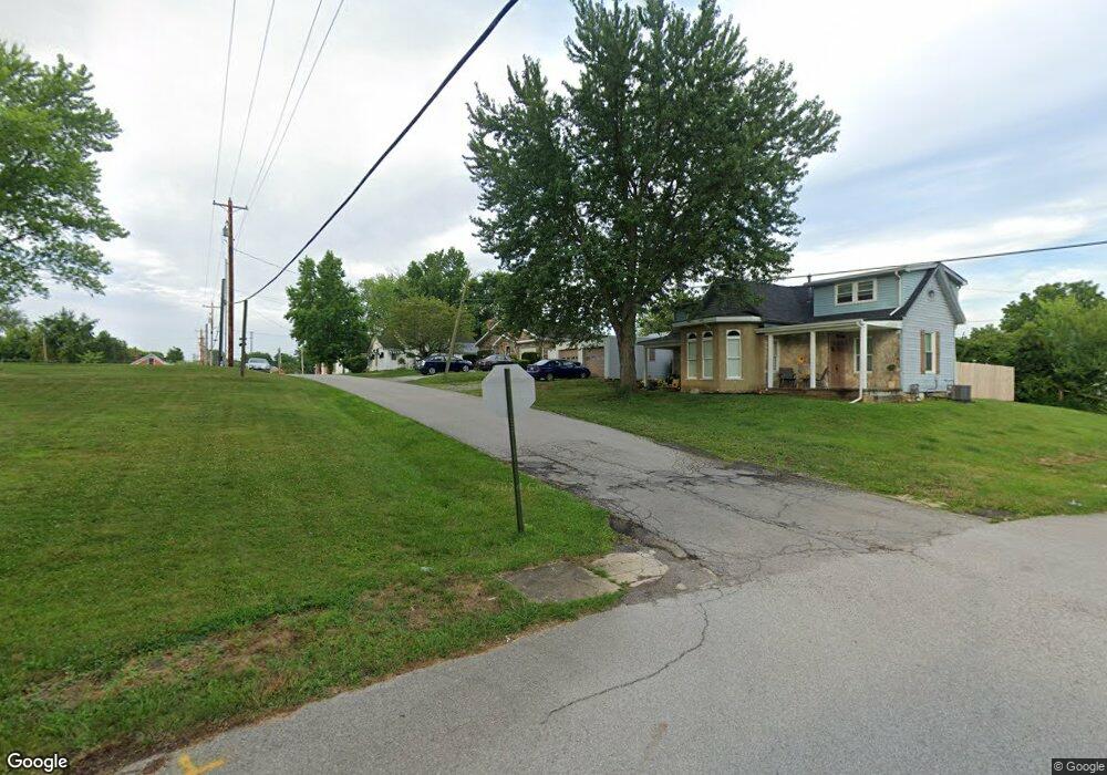
209 N Mound St West Union, OH 45693
Estimated Value: $117,000 - $187,000
3
Beds
2
Baths
1,275
Sq Ft
$117/Sq Ft
Est. Value
About This Home
This home is located at 209 N Mound St, West Union, OH 45693 and is currently estimated at $149,539, approximately $117 per square foot. 209 N Mound St is a home located in Adams County with nearby schools including West Union Elementary School, West Union High School, and Adams County Christian School.
Ownership History
Date
Name
Owned For
Owner Type
Purchase Details
Closed on
Aug 12, 2016
Sold by
Hayslip Ray and Hayslip Patricia
Bought by
Spriggs Julia K
Current Estimated Value
Purchase Details
Closed on
Sep 15, 2014
Sold by
Copas Lance A
Bought by
Hayslip Ray and Hayslip Patricia
Purchase Details
Closed on
Jul 16, 2009
Sold by
Grooms Charles M and Grooms Bettie
Bought by
Copas Lance A
Home Financials for this Owner
Home Financials are based on the most recent Mortgage that was taken out on this home.
Original Mortgage
$100,510
Interest Rate
5.62%
Mortgage Type
New Conventional
Purchase Details
Closed on
Jan 1, 1990
Bought by
Rothwell Patricia
Create a Home Valuation Report for This Property
The Home Valuation Report is an in-depth analysis detailing your home's value as well as a comparison with similar homes in the area
Home Values in the Area
Average Home Value in this Area
Purchase History
| Date | Buyer | Sale Price | Title Company |
|---|---|---|---|
| Spriggs Julia K | -- | None Available | |
| Hayslip Ray | $55,000 | None Available | |
| Copas Lance A | $98,500 | None Available | |
| Rothwell Patricia | -- | -- |
Source: Public Records
Mortgage History
| Date | Status | Borrower | Loan Amount |
|---|---|---|---|
| Previous Owner | Copas Lance A | $100,510 |
Source: Public Records
Tax History Compared to Growth
Tax History
| Year | Tax Paid | Tax Assessment Tax Assessment Total Assessment is a certain percentage of the fair market value that is determined by local assessors to be the total taxable value of land and additions on the property. | Land | Improvement |
|---|---|---|---|---|
| 2024 | $1,146 | $30,590 | $3,150 | $27,440 |
| 2023 | $1,104 | $30,590 | $3,150 | $27,440 |
| 2022 | $1,054 | $28,880 | $2,380 | $26,500 |
| 2021 | $1,076 | $28,880 | $2,380 | $26,500 |
| 2020 | $1,100 | $28,880 | $2,380 | $26,500 |
| 2019 | $1,100 | $28,880 | $2,380 | $26,500 |
| 2018 | $1,008 | $25,410 | $2,380 | $23,030 |
| 2017 | $992 | $25,410 | $2,380 | $23,030 |
| 2016 | $991 | $25,410 | $2,380 | $23,030 |
| 2015 | $1,018 | $26,920 | $2,380 | $24,540 |
| 2014 | $1,019 | $26,920 | $2,380 | $24,540 |
Source: Public Records
Map
Nearby Homes
- 302 W Main St
- 101 S Mound St
- 305 W Walnut St
- 12196 State Route 41
- 408 W South St
- 714 Panhandle Ave
- 204 E North St
- 0 State Route 41 1 Acre Lot
- 216 S Market St
- 70 Logans Ln
- 104 N Washington St
- 501 E Mulberry St
- 286 & 290 S Market St
- 526 E Walnut St
- 601 E Main St
- 618 Maple St
- 537 1st St
- 4700 Ohio 247
- 585 High St
- 725 E Walnut St
- 223 N Mound St
- 207 N Mound St
- 315 W Mulberry St
- 415 W Mulberry St
- 215 N Cherry St
- 404 W Main St
- 404 W Main St
- 408 W Mulberry St
- 412 W Mulberry St
- 214 N West St
- 412 W Main St
- 314 W Mulberry St
- 416 W Main St
- 223 N Cherry St
- 416 W Mulberry St
- 318 W Main St
- 301 N West St
- 314 N West St
- 303 N Cherry St
- 221 N West St