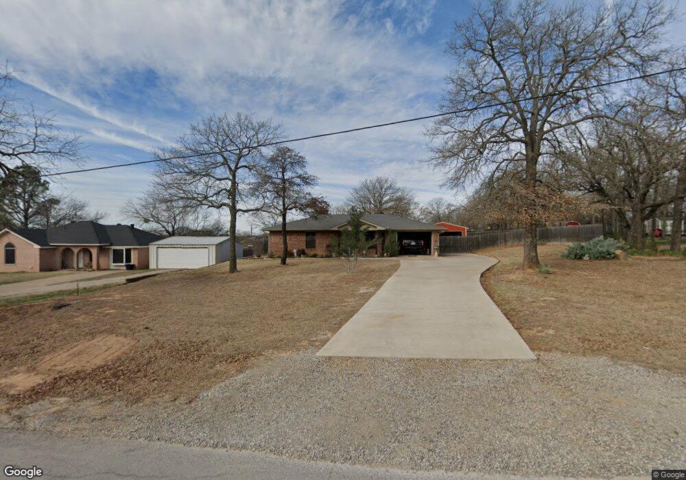
209 N Spring Branch Trail Springtown, TX 76082
Estimated Value: $214,340 - $279,000
2
Beds
1
Bath
1,026
Sq Ft
$244/Sq Ft
Est. Value
About This Home
This home is located at 209 N Spring Branch Trail, Springtown, TX 76082 and is currently estimated at $250,335, approximately $243 per square foot. 209 N Spring Branch Trail is a home located in Parker County with nearby schools including Springtown Elementary School, Springtown Intermediate School, and Springtown Middle School.
Ownership History
Date
Name
Owned For
Owner Type
Purchase Details
Closed on
Jun 8, 2021
Sold by
Summers Arlene Jackie
Bought by
Summers Arlene Jackie and Alsip Larrin
Current Estimated Value
Purchase Details
Closed on
Sep 30, 2015
Sold by
Hennesay Timothy S
Bought by
Summers Arlene J
Purchase Details
Closed on
Apr 5, 2010
Sold by
Sims Nita
Bought by
Summers Arlene J
Home Financials for this Owner
Home Financials are based on the most recent Mortgage that was taken out on this home.
Original Mortgage
$77,551
Interest Rate
4.96%
Mortgage Type
New Conventional
Purchase Details
Closed on
Dec 29, 2000
Sold by
Horton Darrell and Horton Christie
Bought by
Summers Arlene J
Purchase Details
Closed on
Aug 2, 2000
Sold by
Pigg Marie Inc
Bought by
Summers Arlene J
Create a Home Valuation Report for This Property
The Home Valuation Report is an in-depth analysis detailing your home's value as well as a comparison with similar homes in the area
Home Values in the Area
Average Home Value in this Area
Purchase History
| Date | Buyer | Sale Price | Title Company |
|---|---|---|---|
| Summers Arlene Jackie | -- | None Listed On Document | |
| Summers Arlene J | -- | None Available | |
| Summers Arlene J | -- | -- | |
| Hennesay Timothy S | -- | Dhi | |
| Summers Arlene J | -- | -- | |
| Summers Arlene J | -- | -- |
Source: Public Records
Mortgage History
| Date | Status | Borrower | Loan Amount |
|---|---|---|---|
| Previous Owner | Hennesay Timothy S | $77,551 |
Source: Public Records
Tax History Compared to Growth
Tax History
| Year | Tax Paid | Tax Assessment Tax Assessment Total Assessment is a certain percentage of the fair market value that is determined by local assessors to be the total taxable value of land and additions on the property. | Land | Improvement |
|---|---|---|---|---|
| 2025 | $1,643 | $220,329 | -- | -- |
| 2024 | $1,643 | $200,299 | -- | -- |
| 2023 | $1,643 | $182,090 | $0 | $0 |
| 2022 | $3,759 | $165,540 | $40,000 | $125,540 |
| 2021 | $3,765 | $165,540 | $40,000 | $125,540 |
| 2020 | $3,409 | $136,850 | $15,000 | $121,850 |
| 2019 | $3,346 | $136,850 | $15,000 | $121,850 |
| 2018 | $3,053 | $114,330 | $10,000 | $104,330 |
| 2017 | $2,945 | $114,330 | $10,000 | $104,330 |
| 2016 | $2,677 | $95,560 | $10,000 | $85,560 |
| 2015 | $1,886 | $83,720 | $10,000 | $73,720 |
| 2014 | $1,851 | $73,880 | $10,000 | $63,880 |
Source: Public Records
Map
Nearby Homes
- 210 N Spring Branch Trail
- 964 Ben Dr
- 974 Walnut Creek Rd
- 949 Avagail Ave
- 728 E 3rd St
- 909 Avagail Ave
- 232 Lovers Path Dr
- 972 Sam St
- 975 Walnut Creek Dr
- 977 Sam St
- 228 Lovers Path Dr
- 701 Picnic Ct Unit 14
- 904 Sam St
- 1100 E 6th St
- 301 S Spring Branch Trail
- 505 North Ave E
- 312 Berryhill Dr
- 108 Joel St
- 228 Saint Charles Dr
- 808 North Ave E
- 213 N Spring Branch Trail
- 205 N Spring Branch Trail
- 212 Eastridge Dr
- 208 Eastridge Dr
- 217 N Spring Branch Trail
- 204 Eastridge Dr
- 920 E 3rd St
- 206 N Spring Branch Trail
- 201 N Spring Branch Trail
- 916 E 3rd St
- 200 N Spring Branch Trail
- 200 Eastridge Dr
- 121 N Spring Branch Trail
- 213 Eastridge Dr
- 929 E 3rd St
- 914 E 3rd St
- 925 E 3rd St
- 321 S Spring Branch Trail
- 116 N Spring Branch Trail
- 921 E 3rd St