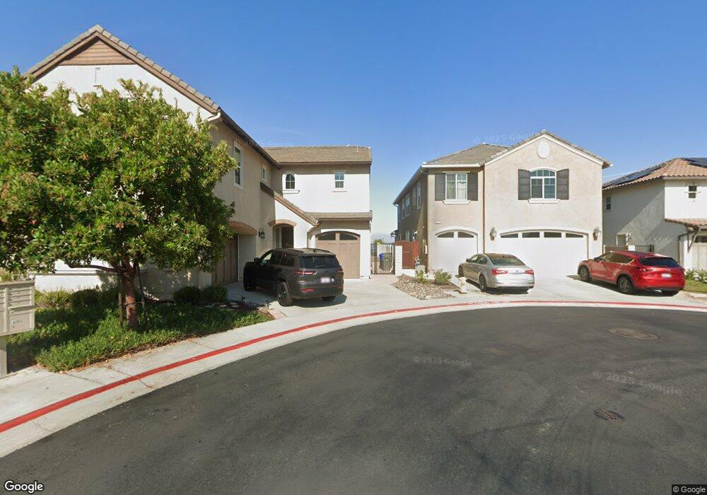
209 Newport Pier Way Oceanside, CA 92054
Loma Alta NeighborhoodEstimated Value: $1,398,561 - $1,688,000
4
Beds
4
Baths
3,020
Sq Ft
$511/Sq Ft
Est. Value
About This Home
This home is located at 209 Newport Pier Way, Oceanside, CA 92054 and is currently estimated at $1,542,140, approximately $510 per square foot. 209 Newport Pier Way is a home with nearby schools including San Luis Rey Elementary School, Oceanside High School, and Scholarship Prep Oceanside.
Ownership History
Date
Name
Owned For
Owner Type
Purchase Details
Closed on
Oct 10, 2017
Sold by
Western Pacific Housinli Inc
Bought by
Jarosz Jeffrey Laurence and Jarosz Bernadette Pasquale
Current Estimated Value
Home Financials for this Owner
Home Financials are based on the most recent Mortgage that was taken out on this home.
Original Mortgage
$778,044
Outstanding Balance
$650,060
Interest Rate
3.83%
Mortgage Type
VA
Estimated Equity
$892,080
Create a Home Valuation Report for This Property
The Home Valuation Report is an in-depth analysis detailing your home's value as well as a comparison with similar homes in the area
Home Values in the Area
Average Home Value in this Area
Purchase History
| Date | Buyer | Sale Price | Title Company |
|---|---|---|---|
| Jarosz Jeffrey Laurence | $818,000 | First American Title Company |
Source: Public Records
Mortgage History
| Date | Status | Borrower | Loan Amount |
|---|---|---|---|
| Open | Jarosz Jeffrey Laurence | $778,044 |
Source: Public Records
Tax History Compared to Growth
Tax History
| Year | Tax Paid | Tax Assessment Tax Assessment Total Assessment is a certain percentage of the fair market value that is determined by local assessors to be the total taxable value of land and additions on the property. | Land | Improvement |
|---|---|---|---|---|
| 2025 | $8,340 | $930,451 | $341,347 | $589,104 |
| 2024 | $8,340 | $912,207 | $334,654 | $577,553 |
| 2023 | $8,142 | $894,322 | $328,093 | $566,229 |
| 2022 | $9,695 | $876,787 | $321,660 | $555,127 |
| 2021 | $9,732 | $859,596 | $315,353 | $544,243 |
| 2020 | $9,429 | $850,783 | $312,120 | $538,663 |
| 2019 | $9,153 | $834,101 | $306,000 | $528,101 |
| 2018 | $9,133 | $817,747 | $300,000 | $517,747 |
| 2017 | $2,553 | $226,567 | $226,567 | $0 |
Source: Public Records
Map
Nearby Homes
- 364 Compass Rd
- 223 Cottingham Ct
- 373 Mainsail Rd
- 358 Mainsail Rd
- 2921 Cottingham St
- 139 Parnassus Cir
- 432 Edgehill Ln Unit 160
- 432 Edgehill Ln Unit 26
- 432 Edgehill Ln Unit 41
- 2959 Butler St
- 3516 Las Vegas Dr
- 0 Hacienda Dr Unit 1 250021552
- 3577 Pear Blossom Ave
- 2813 Cottingham St
- 3621 Vista Campana S Unit 64
- 3621 Vista Campana S Unit 95
- 3621 Vista Campana S Unit 11
- 3621 Vista Campana S Unit 56
- 116 N Barnwell St
- 3594 Pear Blossom Dr
- 214 Newport Pier Way
- 205 Newport Pier Way
- 218 Newport Unit Way
- 218 Newport Pier Way
- 222 Newport Pier Way
- 222 Newport Pier Way
- 222 Newport Pier Way Unit 1
- 201 Newport Pier Way
- 226 Newport Pier Way
- 230 Newport Pier Way
- 234 Newport Pier Way
- 3520 Sea Ridge Rd
- 3531 Starboard Cir
- 238 Newport Pier Way
- 3524 Sea Ridge Rd
- 242 Newport Pier Way
- 3517 Sea Ridge Rd
- 3528 Sea Ridge Rd
- 3535 Starboard Cir
- 3521 Sea Ridge Rd