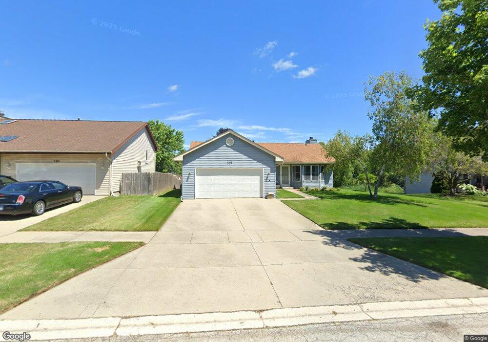
209 Potomac Ln Winthrop Harbor, IL 60096
Estimated Value: $313,847 - $347,000
3
Beds
3
Baths
1,363
Sq Ft
$244/Sq Ft
Est. Value
About This Home
This home is located at 209 Potomac Ln, Winthrop Harbor, IL 60096 and is currently estimated at $332,462, approximately $243 per square foot. 209 Potomac Ln is a home located in Lake County with nearby schools including Westfield School, North Prairie Junior High School, and Zion-Benton Township High School.
Ownership History
Date
Name
Owned For
Owner Type
Purchase Details
Closed on
Jul 31, 1995
Sold by
Bank Of Waukegan
Bought by
Peters Curt W and Peters Christine E
Current Estimated Value
Home Financials for this Owner
Home Financials are based on the most recent Mortgage that was taken out on this home.
Original Mortgage
$126,000
Interest Rate
7.51%
Create a Home Valuation Report for This Property
The Home Valuation Report is an in-depth analysis detailing your home's value as well as a comparison with similar homes in the area
Home Values in the Area
Average Home Value in this Area
Purchase History
| Date | Buyer | Sale Price | Title Company |
|---|---|---|---|
| Peters Curt W | $140,000 | -- |
Source: Public Records
Mortgage History
| Date | Status | Borrower | Loan Amount |
|---|---|---|---|
| Closed | Peters Curt W | $126,000 |
Source: Public Records
Tax History Compared to Growth
Tax History
| Year | Tax Paid | Tax Assessment Tax Assessment Total Assessment is a certain percentage of the fair market value that is determined by local assessors to be the total taxable value of land and additions on the property. | Land | Improvement |
|---|---|---|---|---|
| 2024 | $6,598 | $79,774 | $6,591 | $73,183 |
| 2023 | $6,388 | $69,560 | $6,363 | $63,197 |
| 2022 | $6,388 | $64,367 | $6,208 | $58,159 |
| 2021 | $6,166 | $59,522 | $6,050 | $53,472 |
| 2020 | $5,973 | $56,801 | $5,773 | $51,028 |
| 2019 | $5,820 | $53,891 | $5,477 | $48,414 |
| 2018 | $6,093 | $55,959 | $6,569 | $49,390 |
| 2017 | $6,042 | $52,643 | $6,180 | $46,463 |
| 2016 | $5,877 | $50,117 | $5,883 | $44,234 |
| 2015 | $5,757 | $45,962 | $5,395 | $40,567 |
| 2014 | $5,864 | $48,302 | $11,404 | $36,898 |
| 2012 | $5,787 | $50,195 | $11,851 | $38,344 |
Source: Public Records
Map
Nearby Homes
- 429 Megan Place
- 432 Megan Place
- 11279 W Russell Rd
- 436 Megan Place
- 242 Thompson Ave
- 0 Garnett Ave
- 12122 28th Ave
- 12111 28th Ave
- 43100 N Lewis Ave
- Lt0 39th Ave
- Lt0 128th St
- 42908 N Lewis Ave
- 1810 5th St
- 210 Oak Ln
- 830 Russell Ave
- 630 Whitney Ave
- 3109 11th St
- 737 Franklin Ave
- 3106 13th St
- 1228 Pennsylvania Ave
- 205 Potomac Ln
- 213 Potomac Ln
- 125 Chesapeake Bay
- 145 Old Darby Ln
- 129 Chesapeake Bay
- 217 Potomac Ln
- 208 Potomac Ln
- 204 Potomac Ln
- 121 Chesapeake Bay
- 214 Potomac Ln
- 133 Chesapeake Bay
- 203 Old Darby Ln
- 221 Potomac Ln
- 222 Potomac Ln
- 225 Potomac Ln
- 117 Chesapeake Bay
- 205 Old Darby Ln
- 113 Chesapeake Bay
- 150 Old Darby Ln
- 226 Potomac Ln