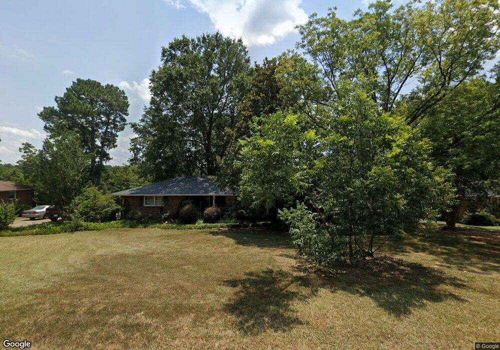
209 Robin Dr Anderson, SC 29621
Estimated Value: $281,076 - $348,000
4
Beds
2
Baths
2,083
Sq Ft
$155/Sq Ft
Est. Value
About This Home
This home is located at 209 Robin Dr, Anderson, SC 29621 and is currently estimated at $323,769, approximately $155 per square foot. 209 Robin Dr is a home located in Anderson County with nearby schools including Concord Elementary School, McCants Middle School, and T.L. Hanna High School.
Ownership History
Date
Name
Owned For
Owner Type
Purchase Details
Closed on
Jul 31, 2007
Sold by
Campbell C Kevin and Campbell Jennifer Rector
Bought by
Collins Kathy D
Current Estimated Value
Home Financials for this Owner
Home Financials are based on the most recent Mortgage that was taken out on this home.
Original Mortgage
$166,388
Outstanding Balance
$105,295
Interest Rate
6.65%
Mortgage Type
FHA
Estimated Equity
$218,474
Purchase Details
Closed on
Jul 16, 2003
Sold by
Arnett Wells
Bought by
Campbell C K
Purchase Details
Closed on
Jul 9, 2003
Sold by
Funnye Estella C
Bought by
Isom Matthew C
Create a Home Valuation Report for This Property
The Home Valuation Report is an in-depth analysis detailing your home's value as well as a comparison with similar homes in the area
Home Values in the Area
Average Home Value in this Area
Purchase History
| Date | Buyer | Sale Price | Title Company |
|---|---|---|---|
| Collins Kathy D | $169,000 | None Available | |
| Campbell C K | $153,000 | -- | |
| Isom Matthew C | $12,500 | -- |
Source: Public Records
Mortgage History
| Date | Status | Borrower | Loan Amount |
|---|---|---|---|
| Open | Collins Kathy D | $166,388 |
Source: Public Records
Tax History Compared to Growth
Tax History
| Year | Tax Paid | Tax Assessment Tax Assessment Total Assessment is a certain percentage of the fair market value that is determined by local assessors to be the total taxable value of land and additions on the property. | Land | Improvement |
|---|---|---|---|---|
| 2024 | $1,332 | $8,210 | $880 | $7,330 |
| 2023 | $1,332 | $8,210 | $880 | $7,330 |
| 2022 | $1,338 | $8,210 | $880 | $7,330 |
| 2021 | $1,196 | $7,260 | $720 | $6,540 |
| 2020 | $1,196 | $7,260 | $720 | $6,540 |
| 2019 | $1,196 | $7,260 | $720 | $6,540 |
| 2018 | $1,207 | $7,260 | $720 | $6,540 |
| 2017 | -- | $7,260 | $720 | $6,540 |
| 2016 | $1,571 | $6,690 | $720 | $5,970 |
| 2015 | $1,589 | $6,690 | $720 | $5,970 |
| 2014 | $1,585 | $6,690 | $720 | $5,970 |
Source: Public Records
Map
Nearby Homes
- 101 Henry Dr
- 122 Kingsgate Way
- 124 Kingsgate Way
- 805 Weathered Oak Way
- 115 Kingsgate Way
- 803 Weathered Oak Way
- 803 Kings Rd
- Hobson E West Pkwy
- 112 Briar Creek Ln
- 124 Reed Place
- 1002 Whirlaway Cir
- 1016 Whirlaway Cir
- 1015 Whirlaway Cir
- 1000 Meadow Ln
- 161 Bradley Park
- 109 Palancar Ct
- 124 Bradley Park
- 305 Edgebrook Dr
- 117 Bradley Park
- 104 Palancar Ct