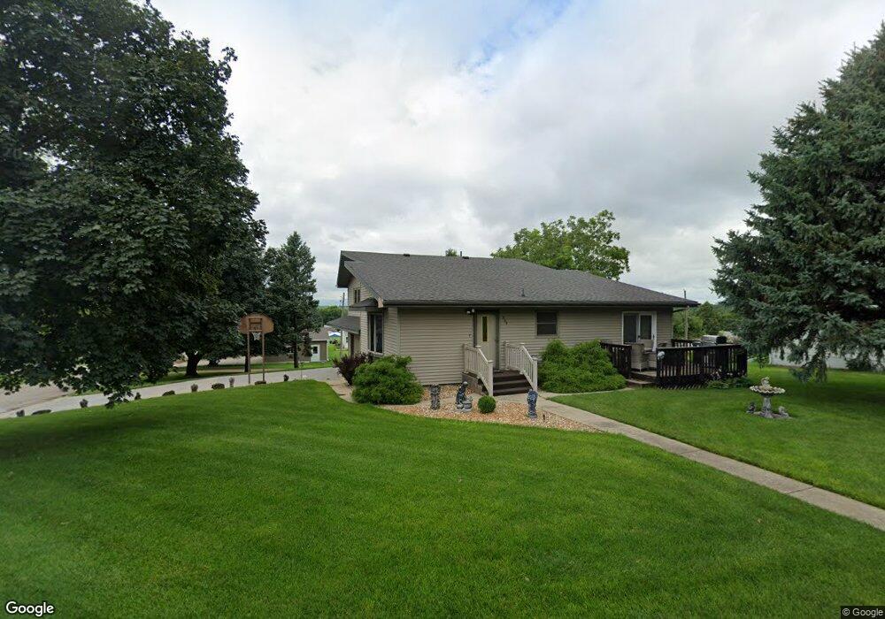
209 S Cherry St Bloomfield, NE 68718
Estimated Value: $165,000 - $338,000
3
Beds
2
Baths
2,019
Sq Ft
$112/Sq Ft
Est. Value
About This Home
This home is located at 209 S Cherry St, Bloomfield, NE 68718 and is currently estimated at $225,972, approximately $111 per square foot. 209 S Cherry St is a home located in Knox County with nearby schools including Bloomfield Elementary School and Bloomfield Junior/Senior High School.
Ownership History
Date
Name
Owned For
Owner Type
Purchase Details
Closed on
Sep 11, 2017
Sold by
Nilsen Shelby E and Nilsen Bette Ann
Bought by
Lange Warren and Lange Elizabeth Ann
Current Estimated Value
Home Financials for this Owner
Home Financials are based on the most recent Mortgage that was taken out on this home.
Original Mortgage
$120,000
Outstanding Balance
$99,485
Interest Rate
3.9%
Mortgage Type
New Conventional
Estimated Equity
$126,487
Create a Home Valuation Report for This Property
The Home Valuation Report is an in-depth analysis detailing your home's value as well as a comparison with similar homes in the area
Purchase History
| Date | Buyer | Sale Price | Title Company |
|---|---|---|---|
| Lange Warren | $150,000 | None Available |
Source: Public Records
Mortgage History
| Date | Status | Borrower | Loan Amount |
|---|---|---|---|
| Open | Lange Warren | $120,000 |
Source: Public Records
Tax History
| Year | Tax Paid | Tax Assessment Tax Assessment Total Assessment is a certain percentage of the fair market value that is determined by local assessors to be the total taxable value of land and additions on the property. | Land | Improvement |
|---|---|---|---|---|
| 2025 | $1,917 | $164,950 | $16,460 | $148,490 |
| 2024 | $2,024 | $159,015 | $16,460 | $142,555 |
| 2023 | $2,024 | $140,765 | $16,460 | $124,305 |
| 2022 | $1,917 | $128,010 | $7,830 | $120,180 |
| 2021 | $1,859 | $122,710 | $7,830 | $114,880 |
| 2020 | $1,871 | $122,710 | $7,830 | $114,880 |
| 2019 | $1,931 | $122,710 | $7,830 | $114,880 |
| 2018 | $1,712 | $110,390 | $7,830 | $102,560 |
| 2017 | $1,722 | $108,575 | $6,015 | $102,560 |
| 2016 | $1,154 | $80,290 | $6,015 | $74,275 |
| 2015 | $1,090 | $72,275 | $4,685 | $67,590 |
| 2014 | $1,212 | $72,955 | $4,685 | $68,270 |
| 2013 | $1,114 | $63,915 | $4,685 | $59,230 |
Source: Public Records
Map
Nearby Homes
- 206 E Elm St
- 405 E Main St
- 109 Jay St
- 502 W Main St
- 200 E Roosevelt St
- 703 E Clark St
- 702 E Norris St
- 502 S Sherman St
- 708 E Grant St
- 88922 550th Ave
- 88952 550 Ave
- 312 Bazille St
- 609 W Omaha St
- 55310 Nebraska 121
- 1207 W 4th St
- 903 W 2nd St
- 315 W Colorado St
- 886 Rd Unit 532 Ave
- 55431 Highway 12
- See Legal Lot 303
Your Personal Tour Guide
Ask me questions while you tour the home.