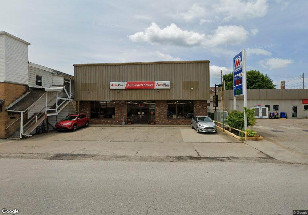
209 S Main St Woodsfield, OH 43793
Estimated Value: $240,819
Studio
--
Bath
4,860
Sq Ft
$50/Sq Ft
Est. Value
About This Home
This home is located at 209 S Main St, Woodsfield, OH 43793 and is currently estimated at $240,819, approximately $49 per square foot. 209 S Main St is a home located in Monroe County with nearby schools including Woodsfield Elementary School, Monroe Central High School, and St Sylvester Central School.
Ownership History
Date
Name
Owned For
Owner Type
Purchase Details
Closed on
Mar 17, 2025
Sold by
W D A Inc
Bought by
Area Woodoh Llc
Current Estimated Value
Purchase Details
Closed on
Jan 31, 2020
Sold by
Jemco Llc
Bought by
W D A Inc
Purchase Details
Closed on
Jan 23, 2009
Sold by
Jemco Ltd
Bought by
Jemco Llc
Create a Home Valuation Report for This Property
The Home Valuation Report is an in-depth analysis detailing your home's value as well as a comparison with similar homes in the area
Purchase History
| Date | Buyer | Sale Price | Title Company |
|---|---|---|---|
| Area Woodoh Llc | $233,000 | None Listed On Document | |
| Area Woodoh Llc | $233,000 | None Listed On Document | |
| W D A Inc | $203,000 | None Available | |
| Jemco Llc | -- | -- |
Source: Public Records
Tax History Compared to Growth
Tax History
| Year | Tax Paid | Tax Assessment Tax Assessment Total Assessment is a certain percentage of the fair market value that is determined by local assessors to be the total taxable value of land and additions on the property. | Land | Improvement |
|---|---|---|---|---|
| 2024 | $2,006 | $38,080 | $11,370 | $26,710 |
| 2023 | $2,006 | $38,080 | $11,370 | $26,710 |
| 2022 | $1,904 | $38,080 | $11,370 | $26,710 |
| 2021 | $1,821 | $36,190 | $9,480 | $26,710 |
| 2020 | $1,822 | $36,190 | $9,480 | $26,710 |
| 2019 | $1,819 | $36,190 | $9,480 | $26,710 |
| 2018 | $1,848 | $36,190 | $9,480 | $26,710 |
| 2017 | $1,873 | $36,190 | $9,480 | $26,710 |
| 2016 | $1,878 | $36,190 | $9,480 | $26,710 |
| 2015 | $1,712 | $31,860 | $8,540 | $23,320 |
| 2014 | $1,712 | $31,860 | $8,540 | $23,320 |
| 2013 | $1,746 | $31,860 | $8,540 | $23,320 |
Source: Public Records
Map
Nearby Homes
- 108 S Paul St
- 108.5 S Paul Aly
- 210 E Church St
- 303 High St
- 333 S Main St
- 337 S Main St
- 306 Monroe St
- 212 Oaklawn Ave
- 208 Center St
- 123 Andover Rd
- 314 Devon Rd
- 44952 Moose Ridge Rd
- 0 Township Road 272
- 0 Rear Township Rd Unit 5181985
- 0 Greenbank Rd Unit 5181950
- 50877 Moore Ridge Rd
- 50911 State Route 26
- 0 Township Rd 460 Unit 23727141
- Township Road 460
- 51650 State Route 26
- 103 W Church St
- 105 W Church St
- 200 S Sycamore St
- 204 S Sycamore St
- 109 W Church St
- 200 S Main St
- 104 W Church St
- 218 S Main St
- 206 S Sycamore St
- 224 S Main St
- 224 S Main St
- 222 S Main St
- 227 S Main St
- 166 S Main St
- 208 S Sycamore St
- 210 S Sycamore St
- 120 S Sycamore St
- 228 S Main St
- 229 S Main St
- 215 S Sycamore St