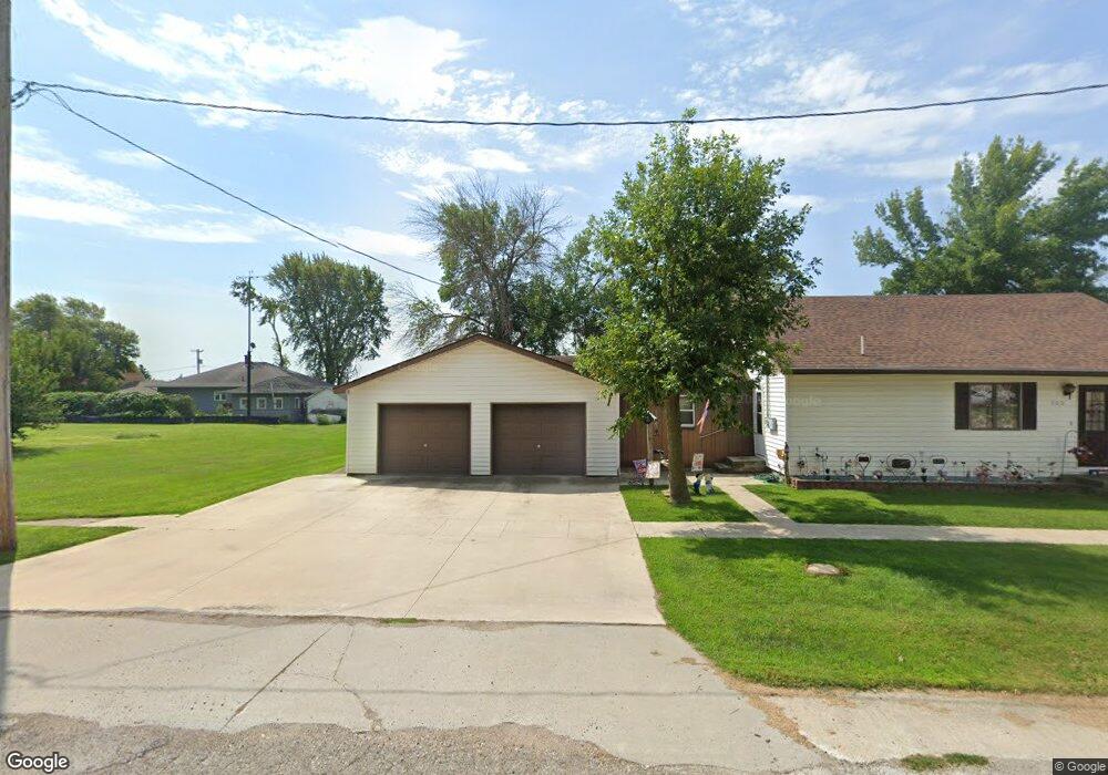
209 S Maple St Arthur, IA 51431
Estimated Value: $72,060 - $134,000
3
Beds
2
Baths
1,560
Sq Ft
$62/Sq Ft
Est. Value
About This Home
This home is located at 209 S Maple St, Arthur, IA 51431 and is currently estimated at $96,265, approximately $61 per square foot. 209 S Maple St is a home located in Ida County with nearby schools including Odebolt Arthur Battle Creek Ida Grove Elementary - Odebolt, Odebolt Arthur Battle Creek Ida Grove Middle School, and Odebolt Arthur Battle Creek Ida Grove High School.
Ownership History
Date
Name
Owned For
Owner Type
Purchase Details
Closed on
Nov 27, 2006
Sold by
Argo Ricky L and Argo Debra R
Bought by
Segebart Russell A and Segebart Stacy Lee
Current Estimated Value
Home Financials for this Owner
Home Financials are based on the most recent Mortgage that was taken out on this home.
Original Mortgage
$36,100
Outstanding Balance
$21,691
Interest Rate
6.4%
Mortgage Type
New Conventional
Estimated Equity
$74,574
Create a Home Valuation Report for This Property
The Home Valuation Report is an in-depth analysis detailing your home's value as well as a comparison with similar homes in the area
Purchase History
| Date | Buyer | Sale Price | Title Company |
|---|---|---|---|
| Segebart Russell A | $33,000 | None Available |
Source: Public Records
Mortgage History
| Date | Status | Borrower | Loan Amount |
|---|---|---|---|
| Open | Segebart Russell A | $36,100 |
Source: Public Records
Tax History
| Year | Tax Paid | Tax Assessment Tax Assessment Total Assessment is a certain percentage of the fair market value that is determined by local assessors to be the total taxable value of land and additions on the property. | Land | Improvement |
|---|---|---|---|---|
| 2025 | $638 | $53,490 | $5,950 | $47,540 |
| 2024 | $638 | $42,200 | $5,950 | $36,250 |
| 2023 | $586 | $42,200 | $5,950 | $36,250 |
| 2022 | $618 | $39,120 | $5,950 | $33,170 |
| 2021 | $622 | $42,697 | $7,549 | $35,148 |
| 2020 | $596 | $39,172 | $6,926 | $32,246 |
| 2019 | $596 | $39,172 | $0 | $0 |
| 2018 | $548 | $39,172 | $0 | $0 |
| 2017 | $548 | $39,172 | $0 | $0 |
| 2016 | $546 | $39,172 | $0 | $0 |
| 2015 | $510 | $35,290 | $0 | $0 |
| 2014 | $504 | $35,290 | $0 | $0 |
Source: Public Records
Map
Nearby Homes
- 317 E 1st St
- 712 W 2nd St
- 425 W 1st St
- 213 S Hansen Blvd
- 409 Hanson Blvd
- 509 Hanson Blvd
- 401 Walnut St
- 409 S Walnut St
- 103 N 1st St
- 705 Ellen St
- 609 Court St
- 608 Moorehead St
- 300 Moorehead St
- 800 Valley View Dr
- 607 Taylor St
- 802 Valley View Dr
- 804 Valley View Dr
- 609 Quimby St
- 507 Quimby St
- 200 Green St
Your Personal Tour Guide
Ask me questions while you tour the home.