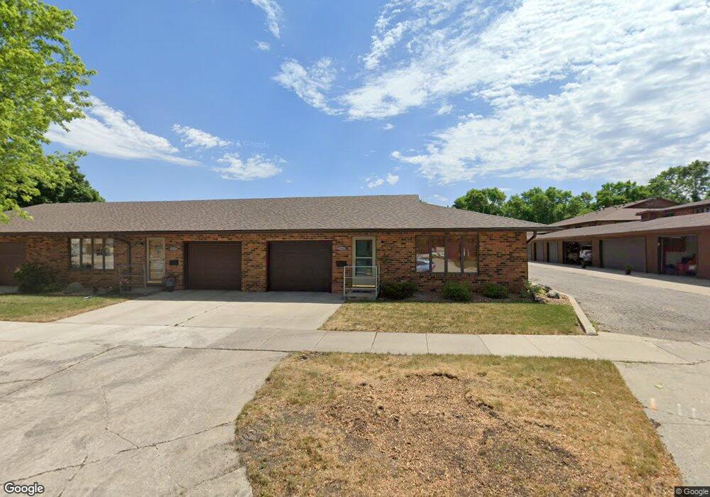
209 S Moore St Algona, IA 50511
Estimated Value: $173,404 - $280,000
--
Bed
1
Bath
1,200
Sq Ft
$177/Sq Ft
Est. Value
About This Home
This home is located at 209 S Moore St, Algona, IA 50511 and is currently estimated at $211,851, approximately $176 per square foot. 209 S Moore St is a home located in Kossuth County with nearby schools including Bertha Godfrey Elementary School, Bryant Elementary School, and Lucia Wallace Elementary School.
Ownership History
Date
Name
Owned For
Owner Type
Purchase Details
Closed on
Nov 10, 2021
Sold by
Gilmore Jeffrey L and Gilmore Beth C
Bought by
Gilmore Beth C and Gilmore Living Trust
Current Estimated Value
Purchase Details
Closed on
Nov 20, 2014
Sold by
Ringsdorf Joseph W and Ringsdorf Thomas R
Bought by
Gilmore Jeffrey L and Gilmore Beth C
Purchase Details
Closed on
Aug 22, 2012
Sold by
Ringsdorf Wendell R and Ringdorf Helen A
Bought by
Ringsdorf Wendell R and Ringsdorf Helen A
Purchase Details
Closed on
Dec 5, 2006
Sold by
Hemmingsen Beatrice D and Gilmore Beatrice D
Bought by
Ringsdorf Wendell and Ringsdorf Helen
Create a Home Valuation Report for This Property
The Home Valuation Report is an in-depth analysis detailing your home's value as well as a comparison with similar homes in the area
Home Values in the Area
Average Home Value in this Area
Purchase History
| Date | Buyer | Sale Price | Title Company |
|---|---|---|---|
| Gilmore Beth C | -- | None Available | |
| Gilmore Jeffrey L | -- | None Available | |
| Gilmore Jeffrey L | $130,000 | None Available | |
| Ringsdorf Wendell R | -- | None Available | |
| Ringsdorf Wendell | $119,500 | None Available |
Source: Public Records
Tax History Compared to Growth
Tax History
| Year | Tax Paid | Tax Assessment Tax Assessment Total Assessment is a certain percentage of the fair market value that is determined by local assessors to be the total taxable value of land and additions on the property. | Land | Improvement |
|---|---|---|---|---|
| 2024 | $1,944 | $147,202 | $5,049 | $142,153 |
| 2023 | $2,494 | $147,202 | $5,049 | $142,153 |
| 2022 | $2,248 | $147,114 | $5,049 | $142,065 |
| 2021 | $2,214 | $133,529 | $5,049 | $128,480 |
| 2020 | $2,142 | $127,719 | $5,049 | $122,670 |
| 2019 | $2,270 | $131,175 | $0 | $0 |
| 2018 | $2,114 | $131,175 | $0 | $0 |
| 2017 | $2,114 | $128,148 | $0 | $0 |
| 2016 | $2,230 | $128,148 | $0 | $0 |
| 2015 | $1,102 | $110,441 | $0 | $0 |
| 2014 | -- | $110,441 | $0 | $0 |
Source: Public Records
Map
Nearby Homes
- 215 E Mcgregor St Unit 5
- 8 E Mcgregor St
- 515 S Harlan St
- 201 E State St
- 120 W College St
- 605 E Mcgregor St
- 408 S Hall St Unit 8
- 716 S Jones St
- 709 S Jones St
- 704 S Wooster St
- Lot 1 W Riverview Dr
- 220 W State St
- 608 E North St
- 317 E Lucas St
- 606 S Harriet St
- 520 E Lucas St
- 302 W Call St
- 711 E Chubb St
- 602 E Lucas St
- 317 N Garfield St
- 207 S Moore St
- 205 S Moore St
- 208 E Nebraska St
- 208 E Nebraska St Unit B
- 206 E Nebraska St Unit A
- 201 E McGregor #5 St
- 201 E Mcgregor St Unit 1
- 201 E Mcgregor St Unit 2
- 201 E Mcgregor St Unit 6
- 201 E Mcgregor St
- 210 E Nebraska St
- 206 S Harlan St
- 204 S Harlan St
- 202 S Harlan St
- 302 S Harlan St
- 118 E Mcgregor St
- 306 S Harlan St
- 308 S Moore St
- 121 S Dodge St
- 108 E Mcgregor St