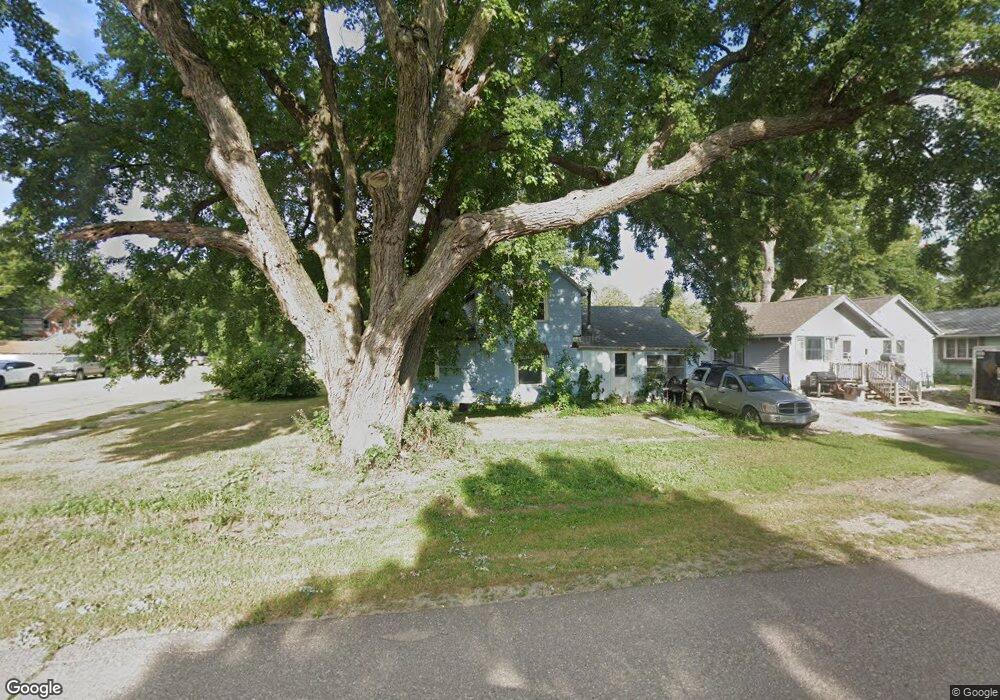
209 S State St Terril, IA 51364
Estimated Value: $82,437 - $134,000
2
Beds
1
Bath
1,356
Sq Ft
$78/Sq Ft
Est. Value
About This Home
This home is located at 209 S State St, Terril, IA 51364 and is currently estimated at $105,859, approximately $78 per square foot. 209 S State St is a home with nearby schools including Graettinger-Terril Elementary School, Graettinger-Terril High School, and Graettinger-Terril Middle School.
Ownership History
Date
Name
Owned For
Owner Type
Purchase Details
Closed on
Aug 8, 2025
Sold by
City Of Terril Iowa
Bought by
Lair Mark
Current Estimated Value
Purchase Details
Closed on
May 25, 2011
Sold by
Hoppe Bonnie L
Bought by
Koppie Matthew and Koppie Stephanie
Home Financials for this Owner
Home Financials are based on the most recent Mortgage that was taken out on this home.
Original Mortgage
$15,000
Interest Rate
3.38%
Mortgage Type
New Conventional
Create a Home Valuation Report for This Property
The Home Valuation Report is an in-depth analysis detailing your home's value as well as a comparison with similar homes in the area
Home Values in the Area
Average Home Value in this Area
Purchase History
| Date | Buyer | Sale Price | Title Company |
|---|---|---|---|
| Lair Mark | $1,500 | None Listed On Document | |
| Koppie Matthew | -- | None Available |
Source: Public Records
Mortgage History
| Date | Status | Borrower | Loan Amount |
|---|---|---|---|
| Previous Owner | Koppie Matthew | $15,000 |
Source: Public Records
Tax History Compared to Growth
Tax History
| Year | Tax Paid | Tax Assessment Tax Assessment Total Assessment is a certain percentage of the fair market value that is determined by local assessors to be the total taxable value of land and additions on the property. | Land | Improvement |
|---|---|---|---|---|
| 2025 | $800 | $78,500 | $5,400 | $73,100 |
| 2024 | $800 | $59,400 | $4,500 | $54,900 |
| 2023 | $1,061 | $59,400 | $4,500 | $54,900 |
| 2022 | $734 | $47,800 | $2,500 | $45,300 |
| 2021 | $734 | $47,800 | $2,500 | $45,300 |
| 2020 | $592 | $40,900 | $2,200 | $38,700 |
| 2019 | $572 | $40,900 | $2,200 | $38,700 |
| 2018 | $574 | $38,600 | $1,900 | $36,700 |
| 2017 | $574 | $38,600 | $1,900 | $36,700 |
| 2016 | $572 | $38,700 | $1,900 | $36,800 |
| 2015 | $558 | $38,700 | $1,900 | $36,800 |
| 2014 | $590 | $41,200 | $2,300 | $38,900 |
| 2013 | -- | $41,200 | $2,300 | $38,900 |
Source: Public Records
Map
Nearby Homes
- 203 S 1st St
- 1915 350th Ave
- 3559 180th St
- 1858 260th Ave
- 1301 Wood Duck Rd
- 14 Helen Ave
- 16 Helen Ave
- 20 Helen Ave
- 25329 182nd St
- 25490 182nd St
- 17227 Lakewood Dr
- 25807 169th St
- 0 Hill Dr
- 20540 232nd Ave
- 25192 182nd St
- 16933 256th Ave
- 16901 256th Ave
- 1102 Oak Hill Rd
- 290 240th Ave Unit 104
- 290 240th Ave Unit 62