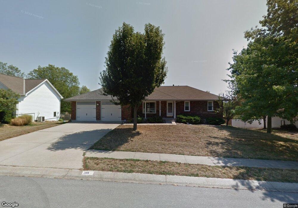
209 Toucan St Raymore, MO 64083
Estimated Value: $319,134 - $373,000
3
Beds
2
Baths
1,592
Sq Ft
$220/Sq Ft
Est. Value
About This Home
This home is located at 209 Toucan St, Raymore, MO 64083 and is currently estimated at $349,534, approximately $219 per square foot. 209 Toucan St is a home located in Cass County with nearby schools including Raymore Elementary School, Raymore-Peculiar East Middle School, and Raymore-Peculiar Senior High School.
Ownership History
Date
Name
Owned For
Owner Type
Purchase Details
Closed on
Mar 21, 2022
Sold by
Hoien James M and Hoien Christine
Bought by
Hoien Irrevocable Trust
Current Estimated Value
Purchase Details
Closed on
Aug 29, 2018
Sold by
Hetrick Ronald L and Hetrick Susan S
Bought by
Hoien James M and Hoien Christine
Home Financials for this Owner
Home Financials are based on the most recent Mortgage that was taken out on this home.
Original Mortgage
$156,750
Interest Rate
4.5%
Mortgage Type
New Conventional
Create a Home Valuation Report for This Property
The Home Valuation Report is an in-depth analysis detailing your home's value as well as a comparison with similar homes in the area
Home Values in the Area
Average Home Value in this Area
Purchase History
| Date | Buyer | Sale Price | Title Company |
|---|---|---|---|
| Hoien Irrevocable Trust | -- | None Listed On Document | |
| Hoien James M | -- | Alpha Title Guaranty Inc |
Source: Public Records
Mortgage History
| Date | Status | Borrower | Loan Amount |
|---|---|---|---|
| Previous Owner | Hoien James M | $156,750 |
Source: Public Records
Tax History
| Year | Tax Paid | Tax Assessment Tax Assessment Total Assessment is a certain percentage of the fair market value that is determined by local assessors to be the total taxable value of land and additions on the property. | Land | Improvement |
|---|---|---|---|---|
| 2025 | $2,736 | $38,040 | $5,750 | $32,290 |
| 2024 | $2,736 | $33,660 | $5,230 | $28,430 |
| 2023 | $2,736 | $33,660 | $5,230 | $28,430 |
| 2022 | $2,434 | $29,750 | $5,230 | $24,520 |
| 2021 | $2,434 | $29,750 | $5,230 | $24,520 |
| 2020 | $2,397 | $28,780 | $5,230 | $23,550 |
| 2019 | $2,314 | $28,780 | $5,230 | $23,550 |
| 2018 | $2,148 | $25,790 | $4,470 | $21,320 |
| 2017 | $1,968 | $25,790 | $4,470 | $21,320 |
| 2016 | $1,968 | $24,530 | $4,470 | $20,060 |
| 2015 | $1,969 | $24,530 | $4,470 | $20,060 |
| 2014 | $1,970 | $24,530 | $4,470 | $20,060 |
| 2013 | -- | $24,530 | $4,470 | $20,060 |
Source: Public Records
Map
Nearby Homes
- 720 Sandpiper St
- 605 S Franklin St
- 804 S Washington St
- 503 S Harrison Ave
- 528 S Saturn Dr
- 709 Derby St
- 702 Twilight Ct
- 515 S Saturn Dr
- 405 S Monroe St
- 506 S Adams St
- 305 E Olive St
- 522 Neptune Dr
- 211 S Franklin St
- Lot 12 Municipal Cir
- Lot 6 Municipal Cir
- Lot 13 Municipal Cir
- 1024 S Madison St
- 600 W Buena Vista Dr
- 713 S Sunset Ln
- 204 N Pointe Ln
Your Personal Tour Guide
Ask me questions while you tour the home.