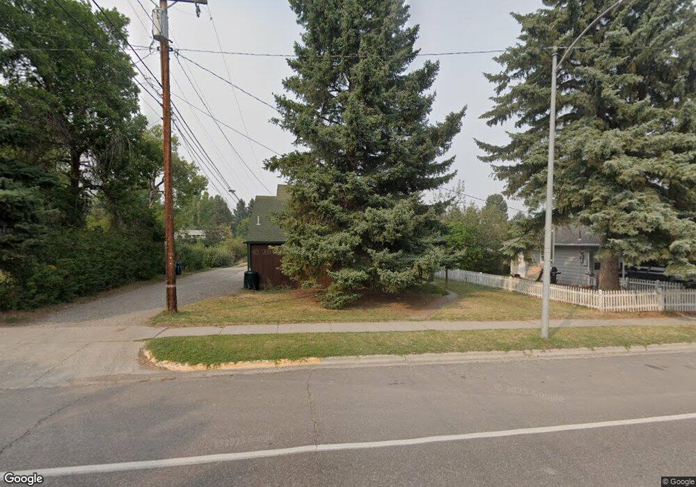
209 W Grant St Bozeman, MT 59715
University NeighborhoodEstimated Value: $727,000 - $852,000
4
Beds
2
Baths
1,688
Sq Ft
$485/Sq Ft
Est. Value
About This Home
This home is located at 209 W Grant St, Bozeman, MT 59715 and is currently estimated at $818,765, approximately $485 per square foot. 209 W Grant St is a home located in Gallatin County with nearby schools including Longfellow School, Van Cortlandtville School, and Thomas Jefferson Elementary School.
Ownership History
Date
Name
Owned For
Owner Type
Purchase Details
Closed on
Aug 3, 2007
Sold by
Niles Michael Dustin and Niles John Kenneth
Bought by
Clark Daniel and Clark Jennifer
Current Estimated Value
Home Financials for this Owner
Home Financials are based on the most recent Mortgage that was taken out on this home.
Original Mortgage
$178,425
Outstanding Balance
$112,912
Interest Rate
6.65%
Mortgage Type
Purchase Money Mortgage
Estimated Equity
$705,853
Create a Home Valuation Report for This Property
The Home Valuation Report is an in-depth analysis detailing your home's value as well as a comparison with similar homes in the area
Home Values in the Area
Average Home Value in this Area
Purchase History
| Date | Buyer | Sale Price | Title Company |
|---|---|---|---|
| Clark Daniel | -- | Montana Title & Escrow Inc |
Source: Public Records
Mortgage History
| Date | Status | Borrower | Loan Amount |
|---|---|---|---|
| Open | Clark Daniel | $178,425 |
Source: Public Records
Tax History Compared to Growth
Tax History
| Year | Tax Paid | Tax Assessment Tax Assessment Total Assessment is a certain percentage of the fair market value that is determined by local assessors to be the total taxable value of land and additions on the property. | Land | Improvement |
|---|---|---|---|---|
| 2025 | $3,772 | $798,600 | $0 | $0 |
| 2024 | $5,748 | $863,600 | $0 | $0 |
| 2023 | $5,554 | $863,600 | $0 | $0 |
| 2022 | $4,047 | $527,800 | $0 | $0 |
| 2021 | $4,466 | $527,800 | $0 | $0 |
| 2020 | $4,112 | $482,100 | $0 | $0 |
| 2019 | $4,207 | $482,100 | $0 | $0 |
| 2018 | $3,676 | $390,400 | $0 | $0 |
| 2017 | $3,640 | $390,400 | $0 | $0 |
| 2016 | $3,274 | $347,500 | $0 | $0 |
| 2015 | $3,277 | $347,500 | $0 | $0 |
| 2014 | $2,863 | $178,610 | $0 | $0 |
Source: Public Records
Map
Nearby Homes
- 1008 S Willson Ave
- 1004 S Willson Ave
- 5 Francham Trail
- 911 S Willson Ave
- 509 W Cleveland St
- 1919 Spring Creek Dr
- 728 S Tracy Ave
- 405 Ice Pond Rd
- 622 & 624 S 8th
- 2122 Fairway Dr
- 505 Westridge Dr
- 401 S Grand Ave
- 507 S 8th Ave
- 2510 Fairway Dr
- 1109 E Kagy Blvd
- 2516 Spring Creek Dr
- 221 S 7th Ave
- 516 W Olive St
- 425 W Olive St
- 903 Arnold St
- 1317 S Grand Ave
- 201 W Grant St
- 221 W Grant St
- 1311 S Grand Ave
- 1314 S 3rd Ave
- 208 W Grant St
- 1310 S 3rd Ave
- 1405 S Grand Ave
- 216 W Grant St
- 210 W Hayes St
- 1303 S Grand Ave
- 1322 S Grand Ave
- 216 W Hayes St
- 1404 S 3rd Ave
- 0 Near S 3rd and Grant Unit B
- 1302 S 3rd Ave
- 1412 S 3rd Ave
- 1404 S Grand Ave
- 1411 S Grand Ave
- 1411 S Grand Ave Unit B