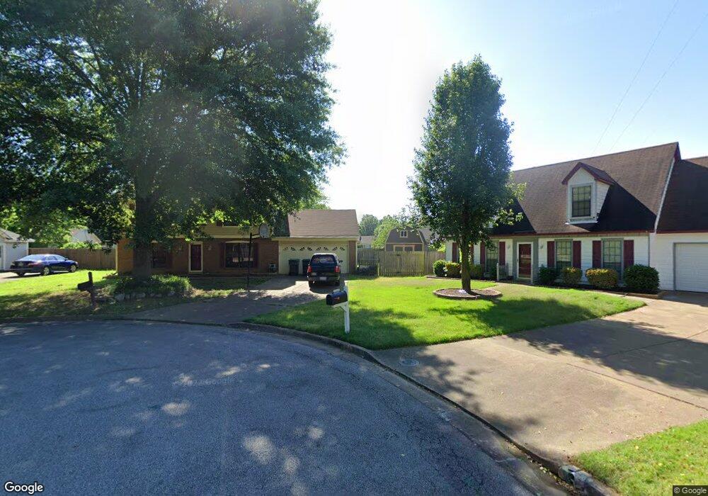
2090 Pillsbury Place Memphis, TN 38133
Estimated Value: $170,000 - $248,000
3
Beds
3
Baths
1,715
Sq Ft
$123/Sq Ft
Est. Value
About This Home
This home is located at 2090 Pillsbury Place, Memphis, TN 38133 and is currently estimated at $210,577, approximately $122 per square foot. 2090 Pillsbury Place is a home located in Shelby County with nearby schools including Chimneyrock Elementary School, Kate Bond Middle School, and Cordova High School.
Ownership History
Date
Name
Owned For
Owner Type
Purchase Details
Closed on
Aug 17, 2020
Sold by
Sawyer Robert A and Sawyer Leslie A
Bought by
Memon Muhammad Usman
Current Estimated Value
Home Financials for this Owner
Home Financials are based on the most recent Mortgage that was taken out on this home.
Original Mortgage
$83,250
Interest Rate
3%
Mortgage Type
Commercial
Purchase Details
Closed on
May 27, 1998
Sold by
Howard Robert W and Howard Elizabeth M
Bought by
Sawyer Robert A and Sawyer Leslie A
Home Financials for this Owner
Home Financials are based on the most recent Mortgage that was taken out on this home.
Original Mortgage
$91,953
Interest Rate
7.11%
Mortgage Type
FHA
Create a Home Valuation Report for This Property
The Home Valuation Report is an in-depth analysis detailing your home's value as well as a comparison with similar homes in the area
Home Values in the Area
Average Home Value in this Area
Purchase History
| Date | Buyer | Sale Price | Title Company |
|---|---|---|---|
| Memon Muhammad Usman | $90,000 | None Available | |
| Sawyer Robert A | $92,000 | -- |
Source: Public Records
Mortgage History
| Date | Status | Borrower | Loan Amount |
|---|---|---|---|
| Closed | Memon Muhammad Usman | $83,250 | |
| Previous Owner | Sawyer Robert A | $91,953 |
Source: Public Records
Tax History Compared to Growth
Tax History
| Year | Tax Paid | Tax Assessment Tax Assessment Total Assessment is a certain percentage of the fair market value that is determined by local assessors to be the total taxable value of land and additions on the property. | Land | Improvement |
|---|---|---|---|---|
| 2025 | $1,185 | $53,675 | $5,500 | $48,175 |
| 2024 | $1,185 | $34,950 | $4,250 | $30,700 |
| 2023 | $2,129 | $34,950 | $4,250 | $30,700 |
| 2022 | $2,129 | $34,950 | $4,250 | $30,700 |
| 2021 | $2,154 | $34,950 | $4,250 | $30,700 |
| 2020 | $1,770 | $24,425 | $4,250 | $20,175 |
| 2019 | $781 | $24,425 | $4,250 | $20,175 |
| 2018 | $781 | $24,425 | $4,250 | $20,175 |
| 2017 | $799 | $24,425 | $4,250 | $20,175 |
| 2016 | $937 | $21,450 | $0 | $0 |
| 2014 | $937 | $21,450 | $0 | $0 |
Source: Public Records
Map
Nearby Homes
- 2097 Mcgehee Cove
- 7012 Daneman Dr
- 6969 Tulip Trail Dr
- 6989 Cherry Blossom Dr
- 7078 Tulip Trail Dr
- 2281 Belin Dr
- 7153 Tulip Trail Dr
- 2305 Belin Dr
- 7270 Rose Trail Dr
- 2331 Eveningview Dr
- 6523 Wimble Rd
- 6521 Wimble Rd
- 1952 Appling Oaks Cir Unit 34
- 7118 Reese Rd
- 1862 Appling Oaks Cir Unit 37
- 2547 Reese Lake Cir
- 1825 Appling Oaks Cir Unit 94
- 2518 Bassfield Dr
- 7020 Wynne Ridge Rd N
- 1801 Appling Oaks Cir Unit 83
- 2083 Mcgehee Cove
- 2084 Pillsbury Place
- 2098 Pillsbury Place
- 2091 Mcgehee Cove
- 2079 Mcgehee Cove
- 2085 Pillsbury Place
- 2104 Pillsbury Place
- 2097 Pillsbury Place
- 2089 Pillsbury Place
- 2073 Mcgehee Cove
- 2103 Pillsbury Place
- 2112 Pillsbury Place
- 2105 Mcgehee Cove
- 2084 Mcgehee Cove
- 2111 Pillsbury Place
- 2074 Mcgehee Cove
- 2078 Mcgehee Cove
- 2106 Keith Cove
- 2111 Mcgehee Cove
- 2100 Keith Cove