Estimated Value: $351,000 - $821,630
Studio
1
Bath
1,638
Sq Ft
$355/Sq Ft
Est. Value
About This Home
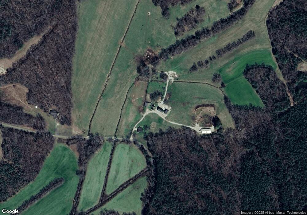
This home is located at 2090 Pollock Rd, Huron, TN 38345 and is currently estimated at $582,210, approximately $355 per square foot. 2090 Pollock Rd is a home located in Henderson County.
Ownership History
Date
Name
Owned For
Owner Type
Purchase Details
Closed on
Apr 12, 2007
Sold by
Gregory Bruce
Bought by
Steve Dodds
Current Estimated Value
Purchase Details
Closed on
Jan 17, 2002
Sold by
Watkins John R
Bought by
Gregory Bruce
Home Financials for this Owner
Home Financials are based on the most recent Mortgage that was taken out on this home.
Original Mortgage
$220,000
Interest Rate
7.14%
Purchase Details
Closed on
Oct 27, 1994
Bought by
Watkins John R
Purchase Details
Closed on
Jul 29, 1994
Bought by
Kessler Robert A and Kessler Eileen
Create a Home Valuation Report for This Property
The Home Valuation Report is an in-depth analysis detailing your home's value as well as a comparison with similar homes in the area
Purchase History
| Date | Buyer | Sale Price | Title Company |
|---|---|---|---|
| Steve Dodds | $185,000 | -- | |
| Gregory Bruce | $220,000 | -- | |
| Watkins John R | $170,000 | -- | |
| Kessler Robert A | $175,000 | -- |
Source: Public Records
Mortgage History
| Date | Status | Borrower | Loan Amount |
|---|---|---|---|
| Previous Owner | Kessler Robert A | $220,000 |
Source: Public Records
Tax History
| Year | Tax Paid | Tax Assessment Tax Assessment Total Assessment is a certain percentage of the fair market value that is determined by local assessors to be the total taxable value of land and additions on the property. | Land | Improvement |
|---|---|---|---|---|
| 2025 | $1,454 | $91,950 | $48,225 | $43,725 |
| 2024 | $1,454 | $91,950 | $48,225 | $43,725 |
| 2023 | $1,454 | $91,950 | $48,225 | $43,725 |
| 2022 | $1,827 | $77,100 | $40,000 | $37,100 |
| 2021 | $1,827 | $77,100 | $40,000 | $37,100 |
| 2020 | $1,827 | $77,100 | $40,000 | $37,100 |
| 2019 | $1,827 | $77,100 | $40,000 | $37,100 |
| 2018 | $1,760 | $77,100 | $40,000 | $37,100 |
| 2017 | $1,760 | $77,100 | $40,000 | $37,100 |
| 2016 | $1,482 | $62,375 | $32,750 | $29,625 |
| 2015 | $1,482 | $62,375 | $32,750 | $29,625 |
| 2014 | $1,281 | $53,898 | $0 | $0 |
Source: Public Records
Map
Nearby Homes
- 000 Moonshine Loop
- 00 Moonshine Loop
- 00 Moonshine Loop
- 3955 Tennessee 200
- 4295 Tennessee 200
- 0 Cider Way
- 00 Cider Way
- 000 Moonshine Rd
- 5035 Tennessee 200
- 235 Mallard Ln
- 5407 Highway 200
- 0 Mills Darden Rd
- Highway 200
- 0 Tennessee 200
- 0 Tennessee 200
- 96 Tennessee 200
- 000 Jones Rd
- 2160 Jones Rd
- 68 Beecham Ln
- 3149 Sand Ridge Rd
- 2250 Pollock Rd
- 1280 Pollock Rd
- 2510 Pollock Rd
- 2485 Pollock Rd
- 2497 Pollock Rd
- 2585 Pollock Rd
- 2620 Pollock Rd
- 2660 Pollock Rd
- 214 Old House Rd
- 190 Old House Rd
- 2745 Pollock Rd
- 525 Adcock Rd
- 0 Adcock Rd
- 2930 Pollock Rd
- 1445 Browns School Rd
- 2865 Pollock Rd
- 1525 Browns School Rd
- 1525 Browns School Rd
- 000 Middlefork Creek
- 1450 Browns School Rd
Your Personal Tour Guide
Ask me questions while you tour the home.