2090 Powers Ferry Trace SE Marietta, GA 30067
Estimated Value: $236,000 - $247,000
2
Beds
3
Baths
1,426
Sq Ft
$169/Sq Ft
Est. Value
About This Home
This home is located at 2090 Powers Ferry Trace SE, Marietta, GA 30067 and is currently estimated at $240,936, approximately $168 per square foot. 2090 Powers Ferry Trace SE is a home located in Cobb County with nearby schools including Marietta Sixth Grade Academy, Lockheed Elementary School, and Marietta Middle School.
Ownership History
Date
Name
Owned For
Owner Type
Purchase Details
Closed on
Jun 11, 1998
Sold by
True Elaine B and True Steven
Bought by
Postway Cynthia M
Current Estimated Value
Home Financials for this Owner
Home Financials are based on the most recent Mortgage that was taken out on this home.
Original Mortgage
$65,500
Outstanding Balance
$17,083
Interest Rate
10.87%
Mortgage Type
New Conventional
Estimated Equity
$223,853
Create a Home Valuation Report for This Property
The Home Valuation Report is an in-depth analysis detailing your home's value as well as a comparison with similar homes in the area
Home Values in the Area
Average Home Value in this Area
Purchase History
| Date | Buyer | Sale Price | Title Company |
|---|---|---|---|
| Postway Cynthia M | $65,500 | -- |
Source: Public Records
Mortgage History
| Date | Status | Borrower | Loan Amount |
|---|---|---|---|
| Open | Postway Cynthia M | $65,500 |
Source: Public Records
Tax History Compared to Growth
Tax History
| Year | Tax Paid | Tax Assessment Tax Assessment Total Assessment is a certain percentage of the fair market value that is determined by local assessors to be the total taxable value of land and additions on the property. | Land | Improvement |
|---|---|---|---|---|
| 2025 | $130 | $96,584 | $34,000 | $62,584 |
| 2024 | $130 | $96,584 | $34,000 | $62,584 |
| 2023 | $0 | $96,584 | $34,000 | $62,584 |
| 2022 | $130 | $69,608 | $12,000 | $57,608 |
| 2021 | $139 | $62,300 | $12,000 | $50,300 |
| 2020 | $137 | $52,180 | $12,000 | $40,180 |
| 2019 | $137 | $52,180 | $12,000 | $40,180 |
| 2018 | $136 | $46,088 | $12,000 | $34,088 |
| 2017 | $109 | $37,208 | $8,000 | $29,208 |
| 2016 | $110 | $32,432 | $5,200 | $27,232 |
| 2015 | $119 | $25,600 | $4,000 | $21,600 |
| 2014 | $124 | $25,600 | $0 | $0 |
Source: Public Records
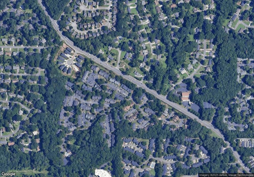
Map
Nearby Homes
- 708 Hanover Ln SE
- 2160 Palmyra Dr SE
- 2240 Runnymead Ridge SE
- 738 Brentwood Place SE
- 2638 Stoney Creek Rd SE
- 2238 Surrey Ct SE
- 2471 Cedar Brook W
- 731 Smithstone Ct SE
- 2484 Cedar Canyon Rd SE
- 2497 Cedar Canyon Place SE
- 651 Inglis Dr SE
- 1129 Roselawn Ln SE
- 2685 Meadowlawn Dr SE
- 2683 Meadowlawn Dr SE
- 830 Bonnie Glen Dr SE
- 659 Fern St SE
- 640 Smithstone Rd SE
- 2082 Powers Ferry Trace SE
- 2096 Powers Ferry Trace SE
- 2098 Powers Ferry Trace SE
- 2092 Powers Ferry Trace SE
- 2096 Powers Ferry Trace SE Unit 38
- 2086 Powers Ferry Trace SE Unit 38
- 2094 Powers Ferry Trace SE
- 2086 Powers Ferry Trace SE Unit B
- 2095 Powers Ferry Trace SE
- 2091 Powers Ferry Trace SE Unit 2091
- 2085 Powers Ferry Trace SE
- 2083 Powers Ferry Trace SE
- 2087 Powers Ferry Trace SE
- 2077 Powers Ferry Trace SE Unit G
- 2081 Powers Ferry Trace SE
- 2073 Powers Ferry Trace SE
- 2070 Powers Ferry Trace SE
- 2074 Powers Ferry Trace SE Unit 37
- 2058 Powers Ferry Trace SE