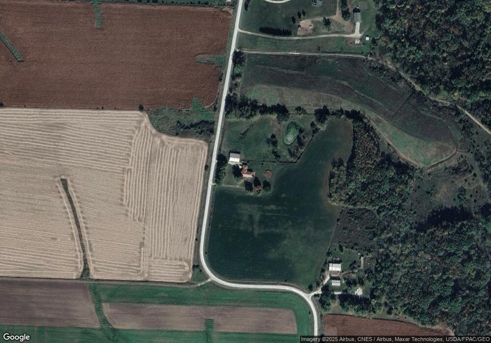
20902 115th Ave Sperry, IA 52650
Estimated Value: $311,000 - $440,159
4
Beds
4
Baths
1,872
Sq Ft
$200/Sq Ft
Est. Value
About This Home
This home is located at 20902 115th Ave, Sperry, IA 52650 and is currently estimated at $374,540, approximately $200 per square foot. 20902 115th Ave is a home located in Des Moines County with nearby schools including Mediapolis Elementary School, Mediapolis Community Middle School, and Mediapolis High School.
Ownership History
Date
Name
Owned For
Owner Type
Purchase Details
Closed on
Feb 11, 2005
Sold by
Trautner Edward J and Trautner Carolyn L
Bought by
Allen Michael and Allen Kristie A
Current Estimated Value
Home Financials for this Owner
Home Financials are based on the most recent Mortgage that was taken out on this home.
Original Mortgage
$177,531
Outstanding Balance
$105,914
Interest Rate
8.5%
Mortgage Type
Adjustable Rate Mortgage/ARM
Estimated Equity
$268,626
Create a Home Valuation Report for This Property
The Home Valuation Report is an in-depth analysis detailing your home's value as well as a comparison with similar homes in the area
Purchase History
| Date | Buyer | Sale Price | Title Company |
|---|---|---|---|
| Allen Michael | $187,000 | None Available |
Source: Public Records
Mortgage History
| Date | Status | Borrower | Loan Amount |
|---|---|---|---|
| Open | Allen Michael | $177,531 |
Source: Public Records
Tax History
| Year | Tax Paid | Tax Assessment Tax Assessment Total Assessment is a certain percentage of the fair market value that is determined by local assessors to be the total taxable value of land and additions on the property. | Land | Improvement |
|---|---|---|---|---|
| 2025 | $2,968 | $303,700 | $46,500 | $257,200 |
| 2024 | $2,968 | $258,500 | $34,500 | $224,000 |
| 2023 | $3,198 | $258,500 | $34,500 | $224,000 |
| 2022 | $3,114 | $242,900 | $25,900 | $217,000 |
| 2021 | $3,114 | $242,900 | $25,900 | $217,000 |
| 2020 | $3,274 | $242,800 | $25,800 | $217,000 |
| 2019 | $2,734 | $242,800 | $25,800 | $217,000 |
| 2018 | $2,674 | $207,600 | $36,700 | $170,900 |
| 2017 | $2,644 | $205,900 | $0 | $0 |
| 2016 | $2,558 | $205,900 | $0 | $0 |
| 2015 | $2,558 | $197,088 | $0 | $0 |
| 2014 | $2,482 | $184,088 | $0 | $0 |
Source: Public Records
Map
Nearby Homes
- 20624 115th Ave
- 20946 115th Ave
- 20498 115th Ave
- 0 210th St
- 20312 115th Ave
- 20205 115th Ave
- 20112 115th Ave
- 20000 115 Th Ave
- 20000 115th Ave
- 20116 115th Ave
- 19949 115th Ave
- 0 115 Th Ave Unit 25113402
- 0 115 Th Ave Unit 5425836
- 19950 115th Ave
- 19952 115th Ave
- 11348 Hawk Rd
- 19954 115th Ave
- 19940 115th Ave
- 19942 115th Ave
- 19944 115th Ave
Your Personal Tour Guide
Ask me questions while you tour the home.