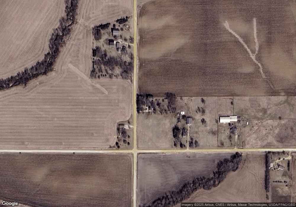
2091 390th Ave Clinton, IA 52732
Estimated Value: $259,000 - $335,000
4
Beds
2
Baths
1,604
Sq Ft
$190/Sq Ft
Est. Value
About This Home
This home is located at 2091 390th Ave, Clinton, IA 52732 and is currently estimated at $305,255, approximately $190 per square foot. 2091 390th Ave is a home located in Clinton County with nearby schools including Northeast Elementary School and Northeast Middle/High School.
Ownership History
Date
Name
Owned For
Owner Type
Purchase Details
Closed on
Aug 30, 2019
Sold by
Jewell James L and Jewell Misty L
Bought by
Cozzolino Abby I and Cozzolino Anthony M
Current Estimated Value
Home Financials for this Owner
Home Financials are based on the most recent Mortgage that was taken out on this home.
Original Mortgage
$234,000
Outstanding Balance
$204,941
Interest Rate
3.7%
Mortgage Type
New Conventional
Estimated Equity
$100,314
Purchase Details
Closed on
Aug 31, 2007
Sold by
Mcdermott James R and Mcdermott Josie Marie
Bought by
Jewell Jaems L and Kagemann Misty L
Home Financials for this Owner
Home Financials are based on the most recent Mortgage that was taken out on this home.
Original Mortgage
$138,760
Interest Rate
6.63%
Mortgage Type
New Conventional
Create a Home Valuation Report for This Property
The Home Valuation Report is an in-depth analysis detailing your home's value as well as a comparison with similar homes in the area
Home Values in the Area
Average Home Value in this Area
Purchase History
| Date | Buyer | Sale Price | Title Company |
|---|---|---|---|
| Cozzolino Abby I | $249,000 | -- | |
| Jewell Jaems L | $173,000 | None Available |
Source: Public Records
Mortgage History
| Date | Status | Borrower | Loan Amount |
|---|---|---|---|
| Open | Cozzolino Abby I | $234,000 | |
| Previous Owner | Jewell Jaems L | $138,760 |
Source: Public Records
Tax History Compared to Growth
Tax History
| Year | Tax Paid | Tax Assessment Tax Assessment Total Assessment is a certain percentage of the fair market value that is determined by local assessors to be the total taxable value of land and additions on the property. | Land | Improvement |
|---|---|---|---|---|
| 2025 | $3,208 | $278,210 | $44,320 | $233,890 |
| 2024 | $3,208 | $263,850 | $44,320 | $219,530 |
| 2023 | $3,164 | $263,850 | $44,320 | $219,530 |
| 2022 | $2,764 | $245,870 | $44,320 | $201,550 |
| 2021 | $2,754 | $194,020 | $24,640 | $169,380 |
| 2020 | $2,754 | $185,950 | $24,640 | $161,310 |
| 2019 | $2,768 | $185,950 | $0 | $0 |
| 2018 | $2,716 | $185,950 | $0 | $0 |
| 2017 | $2,188 | $185,950 | $0 | $0 |
| 2016 | $2,086 | $146,100 | $0 | $0 |
| 2015 | $2,086 | $133,890 | $0 | $0 |
| 2014 | $1,906 | $114,400 | $0 | $0 |
| 2013 | $1,580 | $0 | $0 | $0 |
Source: Public Records
Map
Nearby Homes
- 0 240th St Unit RMAQC4267442
- 601 Green Hills Dr
- 3930 Brandy Ln
- 3794 170th St
- 0 240 St Unit NOC6329441
- 419 3rd St
- 1907 Zara Trace
- 1915 Zara Trace
- 1921 Zara Trace
- 1933 Zara Trace
- 2340 Lafayette Terrace
- 750 N 18th St
- 1805 Zara Trace
- 1825 Zara Trace
- 1819 Zara Trace
- 1837 Zara Trace
- 318 Silver Creek Rd
- 326 Silver Creek Rd
- 315 Silver Creek Rd
- 310 Silver Creek Rd
