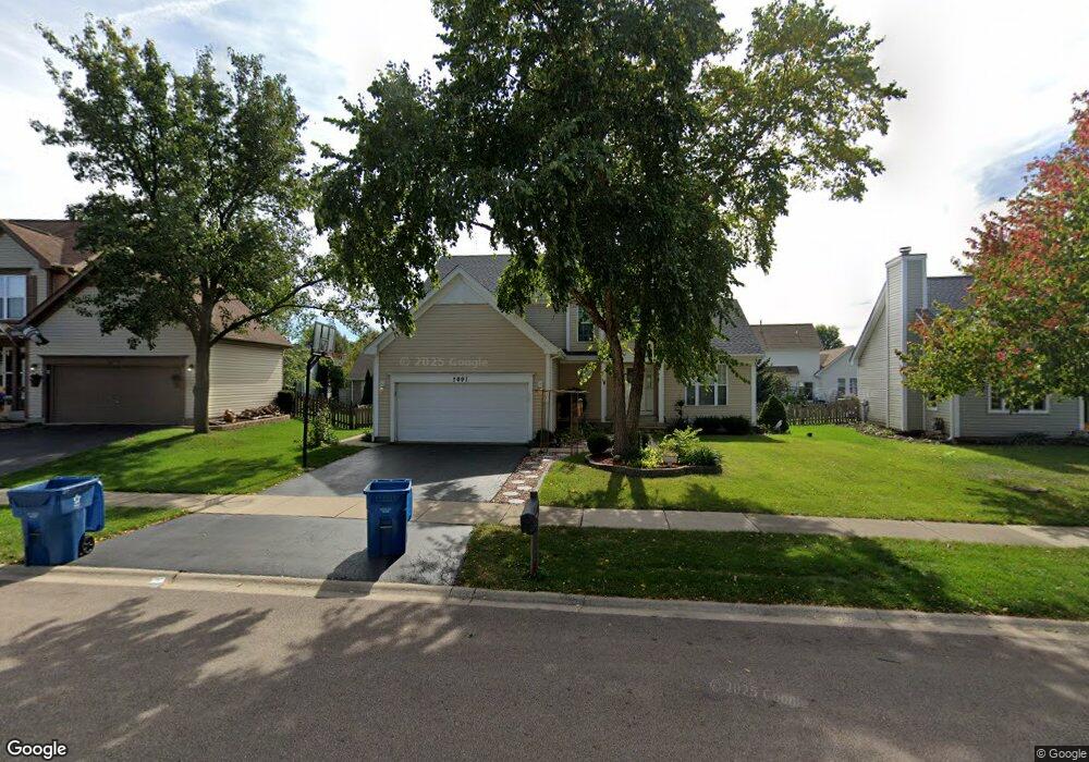
2091 Edinburgh Ln Aurora, IL 60504
South Farnsworth NeighborhoodEstimated Value: $411,000 - $435,000
3
Beds
4
Baths
2,244
Sq Ft
$189/Sq Ft
Est. Value
About This Home
This home is located at 2091 Edinburgh Ln, Aurora, IL 60504 and is currently estimated at $424,256, approximately $189 per square foot. 2091 Edinburgh Ln is a home located in Kane County with nearby schools including The Wheatlands Elementary School, Bednarcik Jr. High School, and Oswego East High School.
Ownership History
Date
Name
Owned For
Owner Type
Purchase Details
Closed on
Mar 14, 2000
Sold by
Warner Timothy M
Bought by
Cummings Robert and Cummings Billi Jo
Current Estimated Value
Home Financials for this Owner
Home Financials are based on the most recent Mortgage that was taken out on this home.
Original Mortgage
$132,800
Outstanding Balance
$40,792
Interest Rate
8.29%
Estimated Equity
$383,464
Purchase Details
Closed on
Oct 25, 1996
Sold by
Wiseman Hughes Enterprises Inc
Bought by
Warner Timothy M
Home Financials for this Owner
Home Financials are based on the most recent Mortgage that was taken out on this home.
Original Mortgage
$152,800
Interest Rate
7.25%
Create a Home Valuation Report for This Property
The Home Valuation Report is an in-depth analysis detailing your home's value as well as a comparison with similar homes in the area
Home Values in the Area
Average Home Value in this Area
Purchase History
| Date | Buyer | Sale Price | Title Company |
|---|---|---|---|
| Cummings Robert | $166,000 | -- | |
| Warner Timothy M | $161,000 | Chicago Title Insurance Co |
Source: Public Records
Mortgage History
| Date | Status | Borrower | Loan Amount |
|---|---|---|---|
| Open | Cummings Robert | $132,800 | |
| Previous Owner | Warner Timothy M | $152,800 |
Source: Public Records
Tax History
| Year | Tax Paid | Tax Assessment Tax Assessment Total Assessment is a certain percentage of the fair market value that is determined by local assessors to be the total taxable value of land and additions on the property. | Land | Improvement |
|---|---|---|---|---|
| 2024 | $10,710 | $130,763 | $21,211 | $109,552 |
| 2023 | $10,279 | $116,836 | $18,952 | $97,884 |
| 2022 | $9,981 | $106,602 | $17,292 | $89,310 |
| 2021 | $9,529 | $99,248 | $16,099 | $83,149 |
| 2020 | $8,595 | $92,187 | $14,954 | $77,233 |
| 2019 | $9,375 | $91,216 | $13,855 | $77,361 |
| 2018 | $8,814 | $86,390 | $12,816 | $73,574 |
| 2017 | $9,431 | $89,787 | $11,809 | $77,978 |
| 2016 | $8,617 | $81,190 | $10,123 | $71,067 |
| 2015 | -- | $73,124 | $8,705 | $64,419 |
| 2014 | -- | $68,329 | $8,372 | $59,957 |
| 2013 | -- | $67,356 | $8,253 | $59,103 |
Source: Public Records
Map
Nearby Homes
- 2100 Hammel Ave
- 1875 Keating Dr
- 1874 Keating Dr
- 1871 Keating Dr
- 1868 Keating Dr
- 1866 Keating Dr
- 1862 Keating Dr
- 1859 Keating Dr
- 1858 Keating Dr
- 1855 Keating Dr
- 1850 Wisteria Dr Unit 343
- 1740 Cumberland Rd Unit 8B
- 1740 Baler Ave
- 1715 Baler Ave
- 1847 Baler Ave
- 1738 Baler Ave
- 1733 Baler Ave
- 1853 Baler Ave
- 1841 Baler Ave
- 1782 Montrose Dr
- 2101 Edinburgh Ln
- 2081 Edinburgh Ln
- 1992 Pointe Blvd
- 1974 Pointe Blvd
- 2111 Edinburgh Ln
- 2071 Edinburgh Ln
- 2028 Pointe Blvd
- 2104 Edinburgh Ln
- 1956 Pointe Blvd
- 2112 Edinburgh Ln
- 2046 Pointe Blvd
- 2121 Edinburgh Ln
- 2096 Edinburgh Ln
- 1645 Silver Springs Ct
- 1938 Pointe Blvd
- 2064 Pointe Blvd
- 1641 Silver Springs Ct
- 2088 Edinburgh Ln
- 2131 Edinburgh Ln
- 2009 Pointe Blvd
Your Personal Tour Guide
Ask me questions while you tour the home.