2091 Nickolas Rd Belfast, TN 37019
Estimated Value: $675,000
Studio
2
Baths
2,296
Sq Ft
$294/Sq Ft
Est. Value
About This Home
This home is located at 2091 Nickolas Rd, Belfast, TN 37019 and is currently priced at $675,000, approximately $293 per square foot. 2091 Nickolas Rd is a home located in Marshall County with nearby schools including Marshall Elementary School, Oak Grove Elementary School, and Westhills Elementary School.
Ownership History
Date
Name
Owned For
Owner Type
Purchase Details
Closed on
Jun 20, 2024
Sold by
Parolini Samuel Henry
Bought by
Parolini Samuel Henry and Parolini Sabrina Rose
Current Estimated Value
Purchase Details
Closed on
Jun 19, 2024
Sold by
Parolini Mildred Marie
Bought by
Hall Angela Joy and Parolini Samuel Henry
Purchase Details
Closed on
Nov 9, 2023
Sold by
Parolini Mildred Marie
Bought by
Hall Angela Joy
Create a Home Valuation Report for This Property
The Home Valuation Report is an in-depth analysis detailing your home's value as well as a comparison with similar homes in the area
Purchase History
| Date | Buyer | Sale Price | Title Company |
|---|---|---|---|
| Parolini Samuel Henry | -- | None Listed On Document | |
| Hall Angela Joy | -- | None Listed On Document | |
| Hall Angela Joy | -- | None Listed On Document |
Source: Public Records
Tax History
| Year | Tax Paid | Tax Assessment Tax Assessment Total Assessment is a certain percentage of the fair market value that is determined by local assessors to be the total taxable value of land and additions on the property. | Land | Improvement |
|---|---|---|---|---|
| 2025 | $1,499 | $76,125 | $57,425 | $18,700 |
| 2024 | $1,384 | $76,125 | $57,425 | $18,700 |
| 2023 | $2,215 | $76,125 | $57,425 | $18,700 |
| 2022 | $2,215 | $121,775 | $61,275 | $60,500 |
| 2021 | $2,326 | $82,725 | $46,950 | $35,775 |
| 2020 | $2,326 | $82,725 | $46,950 | $35,775 |
| 2019 | $2,326 | $82,725 | $46,950 | $35,775 |
| 2018 | $2,285 | $82,725 | $46,950 | $35,775 |
| 2017 | $2,285 | $82,725 | $46,950 | $35,775 |
| 2016 | $2,101 | $65,250 | $36,475 | $28,775 |
| 2015 | $2,101 | $65,250 | $36,475 | $28,775 |
| 2014 | $2,101 | $65,250 | $36,475 | $28,775 |
Source: Public Records
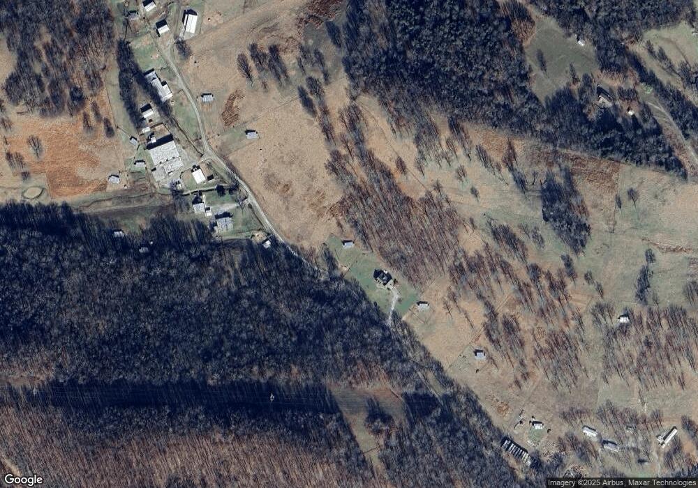
Map
Nearby Homes
- 2617 Fayetteville Hwy
- 1839 Polly Adams Rd
- 0 Fishing Ford Rd Unit 19689699
- 0 Fishing Ford Rd Unit RTC2891288
- 0 US Hwy 431 Unit RTC3169300
- 1601 Alan Perryman Ave
- 1768 Fayetteville Hwy
- 1750 Fayetteville Hwy
- 1684 Springplace Rd
- 2490 Monte Murrey Rd
- 1642 Caughran Rd
- 1655 Grace Ledford Rd
- 0 Adams Rd Unit RTC3136080
- 1005 Boyd St
- 2405 Thompson Rd
- 3039 Pigg Hollow Rd
- 2600 Round Hill Rd
- 1271 Bivins Rd
- 1351 Old Belfast Rd
- 199 Creekside Dr
- 2093 Nickolas Rd
- 2035 Nickolas Rd
- 1 Fishing Ford Rd
- 2 Fishing Ford Rd
- 0 Round Hill Rd Unit 1754332
- 2091 Nicholas Rd
- 2000 Fishing Ford Rd
- 1966 Fishing Ford Rd
- 2080 Nickolas Rd
- 2021 Fishing Ford Rd
- 1920 Fishing Ford Rd
- 2100 Nickolas Rd
- 2124 Fishing Ford Rd
- 2134 Fishing Ford Rd
- 0 Snake Creek Rd
- 2442 Snake Creek Rd
- 1876 Fishing Ford Rd
- 1803 Fishing Ford Rd
- 2050 Conrad Rd
Your Personal Tour Guide
Ask me questions while you tour the home.