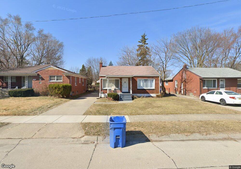
20913 Behrendt Ave Unit Bldg-Unit Warren, MI 48091
Southwest Warren NeighborhoodEstimated Value: $111,000 - $157,599
--
Bed
1
Bath
971
Sq Ft
$138/Sq Ft
Est. Value
About This Home
This home is located at 20913 Behrendt Ave Unit Bldg-Unit, Warren, MI 48091 and is currently estimated at $133,650, approximately $137 per square foot. 20913 Behrendt Ave Unit Bldg-Unit is a home located in Macomb County with nearby schools including Mound Park Elementary School, Schofield Elementary School, and Westview Elementary School.
Ownership History
Date
Name
Owned For
Owner Type
Purchase Details
Closed on
Mar 17, 2023
Sold by
Macomb County Sheriff
Bought by
Antler Mortgage Loan Trust
Current Estimated Value
Purchase Details
Closed on
Feb 23, 2022
Sold by
Bfh1 Llc
Bought by
Michigan One Real Estate Llc
Purchase Details
Closed on
Jul 28, 2017
Sold by
Bonanni Anthony and Bonanni Melissa
Bought by
Bfh1 Llc
Purchase Details
Closed on
May 30, 2014
Sold by
Bradley David F and Bradley Debra S
Bought by
Bonanni Anthony and Bonanni Melissa
Purchase Details
Closed on
Aug 4, 1999
Sold by
Sulki Julia
Bought by
Bradley David F
Create a Home Valuation Report for This Property
The Home Valuation Report is an in-depth analysis detailing your home's value as well as a comparison with similar homes in the area
Home Values in the Area
Average Home Value in this Area
Purchase History
| Date | Buyer | Sale Price | Title Company |
|---|---|---|---|
| Antler Mortgage Loan Trust | $104,734 | -- | |
| Michigan One Real Estate Llc | $105,000 | Cislo Title | |
| Bfh1 Llc | -- | None Available | |
| Bonanni Anthony | $20,000 | None Available | |
| Bradley David F | $74,900 | -- |
Source: Public Records
Tax History Compared to Growth
Tax History
| Year | Tax Paid | Tax Assessment Tax Assessment Total Assessment is a certain percentage of the fair market value that is determined by local assessors to be the total taxable value of land and additions on the property. | Land | Improvement |
|---|---|---|---|---|
| 2025 | $3,682 | $70,580 | $0 | $0 |
| 2024 | $3,583 | $65,080 | $0 | $0 |
| 2023 | $4,572 | $63,390 | $0 | $0 |
| 2022 | $1,792 | $55,300 | $0 | $0 |
| 2021 | $1,838 | $52,090 | $0 | $0 |
| 2020 | $1,767 | $45,500 | $0 | $0 |
| 2019 | $1,688 | $33,470 | $0 | $0 |
| 2018 | $1,622 | $24,500 | $0 | $0 |
| 2017 | $1,606 | $23,950 | $2,720 | $21,230 |
| 2016 | $1,575 | $23,950 | $0 | $0 |
| 2015 | -- | $22,170 | $0 | $0 |
| 2013 | $2,685 | $18,700 | $0 | $0 |
Source: Public Records
Map
Nearby Homes
- 21044 Sunset Ave
- 21299 Sunset Ave
- 20731 Bartholomaei Ave
- 3776 Wasmund Ave
- 21222 Audrey Ave
- 20499 Binder St
- 20270 Dean Ave
- 20818 Atlantic Ave
- 20760 Atlantic Ave
- 21139 Curie Ave
- 20246 Binder St
- 20201 Dean St
- 20499 Yonka St
- 21106 Curie Ave
- 3925 Toepfer Rd
- 3701 Berkshire Ave
- 3641 Berkshire Ave
- 20201 Yonka St
- 20253 Moenart St
- 20100 Wexford St
- 20913 Behrendt Ave
- 20919 Behrendt Ave
- 20907 Behrendt Ave
- 20901 Behrendt Ave
- 21021 Behrendt Ave
- 20910 Behrendt Ave
- 20914 Behrendt Ave
- 20900 Behrendt Ave
- 20890 Sunset Ave
- 21022 Behrendt Ave
- 21071 Behrendt Ave
- 20803 Behrendt Ave
- 20868 Behrendt Ave
- 20866 Sunset Ave
- 20845 Le Fever Ave
- 20835 Le Fever Ave
- 21072 Behrendt Ave
- 20804 Behrendt Ave
- 20899 Le Fever Ave
- 20823 Le Fever Ave