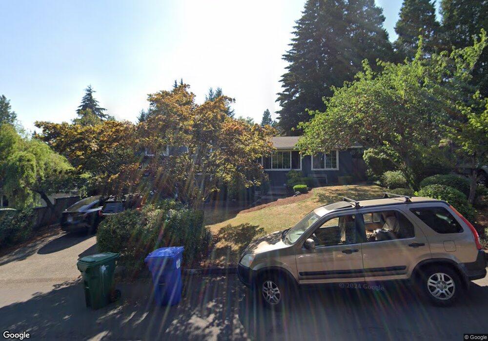
2092 Broadview St Eugene, OR 97405
Churchill NeighborhoodEstimated Value: $541,433 - $599,000
3
Beds
2
Baths
1,984
Sq Ft
$288/Sq Ft
Est. Value
About This Home
This home is located at 2092 Broadview St, Eugene, OR 97405 and is currently estimated at $572,358, approximately $288 per square foot. 2092 Broadview St is a home located in Lane County with nearby schools including McCornack Elementary School, Kennedy Middle School, and Churchill High School.
Ownership History
Date
Name
Owned For
Owner Type
Purchase Details
Closed on
Jul 12, 2011
Sold by
Cauthon Michael D and Cauthon Cheryl A
Bought by
Miller Catlin Tobhiyah E and Alvizo Maria Rosa Fabian
Current Estimated Value
Home Financials for this Owner
Home Financials are based on the most recent Mortgage that was taken out on this home.
Original Mortgage
$206,400
Outstanding Balance
$141,416
Interest Rate
4.5%
Mortgage Type
New Conventional
Estimated Equity
$430,942
Create a Home Valuation Report for This Property
The Home Valuation Report is an in-depth analysis detailing your home's value as well as a comparison with similar homes in the area
Home Values in the Area
Average Home Value in this Area
Purchase History
| Date | Buyer | Sale Price | Title Company |
|---|---|---|---|
| Miller Catlin Tobhiyah E | $258,000 | Cascade Title Company |
Source: Public Records
Mortgage History
| Date | Status | Borrower | Loan Amount |
|---|---|---|---|
| Open | Miller Catlin Tobhiyah E | $206,400 |
Source: Public Records
Tax History
| Year | Tax Paid | Tax Assessment Tax Assessment Total Assessment is a certain percentage of the fair market value that is determined by local assessors to be the total taxable value of land and additions on the property. | Land | Improvement |
|---|---|---|---|---|
| 2025 | $6,062 | $311,148 | -- | -- |
| 2024 | $5,987 | $302,086 | -- | -- |
| 2023 | $5,987 | $293,288 | $0 | $0 |
| 2022 | $5,609 | $284,746 | $0 | $0 |
| 2021 | $5,268 | $276,453 | $0 | $0 |
| 2020 | $5,287 | $268,401 | $0 | $0 |
| 2019 | $5,106 | $260,584 | $0 | $0 |
| 2018 | $4,806 | $245,626 | $0 | $0 |
| 2017 | $4,546 | $245,626 | $0 | $0 |
| 2016 | $4,477 | $238,472 | $0 | $0 |
| 2015 | $4,333 | $231,526 | $0 | $0 |
| 2014 | $4,261 | $224,783 | $0 | $0 |
Source: Public Records
Map
Nearby Homes
- 2145 Hawkins Ln Unit 30
- 1945 Sunrise Blvd
- 1910 Hawkins Ln
- 0 W 18th Ave Unit LOT 2
- 0 W 18th Ave Unit LOT 3
- 3315 W 18th Ave
- 3423 W 25th Ave
- 2279 City View St
- 2490 Panorama Dr
- 1432 Fetters Loop
- 2430 Wilson Dr
- 2953 W 15th Ave
- 2610 Park Forest Dr
- 2260 Orr Ln
- 2230 Cleveland St
- 3534 Westleigh St
- 0 Hallmark Ln
- 1365 Quaker St
- 1438 Quaker St
- 1509 Mckinley St
- 2096 Broadview St
- 2090 Broadview St
- 3333 S Lambert St
- 2095 Broadview St
- 2098 Broadview St
- 3319 S Lambert St
- 2099 Broadview St
- 2060 Broadview St
- 2090 Hawkins Ln
- 2085 Sunrise Blvd
- 3310 S Lambert St
- 3339 S Lambert St
- 2080 Hawkins Ln
- 2075 Broadview St
- 2219 Hawkins Ln
- 3345 S Lambert St
- 3467 Aerie Park Place
- 2773 Blue Spruce Dr
Your Personal Tour Guide
Ask me questions while you tour the home.