2092 S Sherwood Dr Unit A7 Valdosta, GA 31602
Estimated Value: $118,640 - $155,000
2
Beds
2
Baths
1,156
Sq Ft
$115/Sq Ft
Est. Value
About This Home
This home is located at 2092 S Sherwood Dr Unit A7, Valdosta, GA 31602 and is currently estimated at $133,160, approximately $115 per square foot. 2092 S Sherwood Dr Unit A7 is a home located in Lowndes County with nearby schools including S.L. Mason Elementary School, Valdosta Middle School, and Valdosta High School.
Ownership History
Date
Name
Owned For
Owner Type
Purchase Details
Closed on
May 17, 2010
Sold by
Bernard Ruth H
Bought by
Jones Robert R
Current Estimated Value
Home Financials for this Owner
Home Financials are based on the most recent Mortgage that was taken out on this home.
Original Mortgage
$83,771
Outstanding Balance
$56,066
Interest Rate
5.02%
Mortgage Type
FHA
Estimated Equity
$77,094
Purchase Details
Closed on
Dec 7, 1990
Bought by
Bernard Ruth H
Create a Home Valuation Report for This Property
The Home Valuation Report is an in-depth analysis detailing your home's value as well as a comparison with similar homes in the area
Home Values in the Area
Average Home Value in this Area
Purchase History
| Date | Buyer | Sale Price | Title Company |
|---|---|---|---|
| Jones Robert R | $84,900 | -- | |
| Bernard Ruth H | $47,000 | -- |
Source: Public Records
Mortgage History
| Date | Status | Borrower | Loan Amount |
|---|---|---|---|
| Open | Jones Robert R | $83,771 |
Source: Public Records
Tax History Compared to Growth
Tax History
| Year | Tax Paid | Tax Assessment Tax Assessment Total Assessment is a certain percentage of the fair market value that is determined by local assessors to be the total taxable value of land and additions on the property. | Land | Improvement |
|---|---|---|---|---|
| 2024 | $1,227 | $46,116 | $0 | $46,116 |
| 2023 | $1,120 | $46,116 | $0 | $46,116 |
| 2022 | $934 | $33,631 | $0 | $33,631 |
| 2021 | $896 | $31,763 | $0 | $31,763 |
| 2020 | $915 | $31,763 | $0 | $31,763 |
| 2019 | $915 | $31,763 | $0 | $31,763 |
| 2018 | $926 | $31,763 | $0 | $31,763 |
| 2017 | $933 | $31,763 | $0 | $31,763 |
| 2016 | $1,134 | $37,368 | $0 | $37,368 |
| 2015 | -- | $37,368 | $0 | $37,368 |
| 2014 | $1,059 | $37,368 | $0 | $37,368 |
Source: Public Records
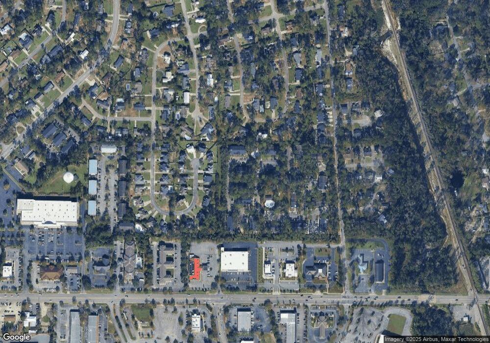
Map
Nearby Homes
- 2092 S Sherwood Dr Unit P130
- 2092 S Sherwood Dr Unit P130
- 2092 S Sherwood Dr Unit 88
- 2092 S Sherwood Dr Unit G52
- 2121 Northwood Cir
- 2033 Oakdale Dr
- 2107 Northwood Cir
- 2243 Oakgrove Cir
- 2207 S Sherwood Dr
- 2109 Park Ln
- 2115 Westfield Dr
- 21701 Highpoint Dr
- 2214 Park Ln
- 2215 Park Ln
- 2206 Gornto Rd
- 2607 Rolling Hill Dr
- 2208 Dogwood Dr
- 2303 S Sherwood Dr
- 2201 Riverside Dr
- 2005 Baytree Rd
- 2092 S Sherwood Dr Unit P130
- 2092 S Sherwood Dr Unit 77
- 2092 S Sherwood Dr Unit 42
- 2092 S Sherwood Dr Unit D-29
- 2092 S Sherwood Dr Unit B13
- 2092 S Sherwood Dr Unit E -35
- 2092 S Sherwood Dr Unit A8
- 2092 S Sherwood Dr Unit A2
- 2092 S Sherwood Dr Unit 6
- 2092 S Sherwood Dr Unit A3
- 2092 S Sherwood Dr Unit A4
- 2092 S Sherwood Dr
- 2092 S Sherwood Dr Unit H60
- 2092 S Sherwood Dr Unit H64
- 2092 S Sherwood Dr Unit H61
- 2092 S Sherwood Dr Unit H62
- 2092 S Sherwood Dr
- 2092 S Sherwood Dr
- 2092 S Sherwood Dr
- 2092 S Sherwood Dr Unit 65