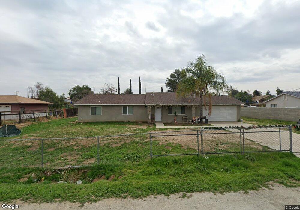
20925 Mural St Perris, CA 92570
Upton Acres NeighborhoodEstimated Value: $474,295 - $638,000
5
Beds
2
Baths
1,398
Sq Ft
$394/Sq Ft
Est. Value
About This Home
This home is located at 20925 Mural St, Perris, CA 92570 and is currently estimated at $550,324, approximately $393 per square foot. 20925 Mural St is a home located in Riverside County with nearby schools including Columbia Elementary School, Tomas Rivera Middle School, and Citrus Hill High School.
Ownership History
Date
Name
Owned For
Owner Type
Purchase Details
Closed on
Jan 15, 2003
Sold by
Harris John J
Bought by
Harris John J
Current Estimated Value
Home Financials for this Owner
Home Financials are based on the most recent Mortgage that was taken out on this home.
Original Mortgage
$58,100
Interest Rate
5.96%
Mortgage Type
Purchase Money Mortgage
Create a Home Valuation Report for This Property
The Home Valuation Report is an in-depth analysis detailing your home's value as well as a comparison with similar homes in the area
Home Values in the Area
Average Home Value in this Area
Purchase History
| Date | Buyer | Sale Price | Title Company |
|---|---|---|---|
| Harris John J | -- | Fidelity National Title Co |
Source: Public Records
Mortgage History
| Date | Status | Borrower | Loan Amount |
|---|---|---|---|
| Closed | Harris John J | $58,100 |
Source: Public Records
Tax History
| Year | Tax Paid | Tax Assessment Tax Assessment Total Assessment is a certain percentage of the fair market value that is determined by local assessors to be the total taxable value of land and additions on the property. | Land | Improvement |
|---|---|---|---|---|
| 2025 | $1,697 | $152,616 | $31,664 | $120,952 |
| 2023 | $1,697 | $146,692 | $30,436 | $116,256 |
| 2022 | $1,647 | $143,817 | $29,840 | $113,977 |
| 2021 | $1,615 | $140,998 | $29,255 | $111,743 |
| 2020 | $1,599 | $139,554 | $28,956 | $110,598 |
| 2019 | $1,502 | $136,819 | $28,389 | $108,430 |
| 2018 | $1,481 | $134,137 | $27,833 | $106,304 |
| 2017 | $1,446 | $131,508 | $27,288 | $104,220 |
| 2016 | $1,430 | $128,930 | $26,753 | $102,177 |
| 2015 | $1,409 | $126,996 | $26,352 | $100,644 |
| 2014 | $1,392 | $124,510 | $25,837 | $98,673 |
Source: Public Records
Map
Nearby Homes
- 20553 Hunter St
- 20541 Hunter St
- 20521 Hunter St
- 20434 Myron St
- 21274 Cajalco Rd
- 21321 Cajalco Rd
- 20785 Burns St
- 20243 Lee Rd
- 0 Marquez Rd
- 0 Old Elsinore Rd Unit DW25247795
- 21402 Shortridge Ave
- 20175 Souder St
- 21131 Martin St
- 21285 Kinney St
- 21725 Pinewood St
- 21701 Perry St
- 21916 Jean St
- 20646 Markham St
- 0 Campos Rd Unit IV24176919
- 19975 Heartwood Dr
Your Personal Tour Guide
Ask me questions while you tour the home.