20927 Oceanside Ln Unit 48 Huntington Beach, CA 92648
Estimated Value: $662,997 - $748,000
2
Beds
1
Bath
936
Sq Ft
$753/Sq Ft
Est. Value
About This Home
This home is located at 20927 Oceanside Ln Unit 48, Huntington Beach, CA 92648 and is currently estimated at $705,249, approximately $753 per square foot. 20927 Oceanside Ln Unit 48 is a home located in Orange County with nearby schools including Agnes L. Smith Elementary, Ethel Dwyer Middle, and Huntington Beach High School.
Ownership History
Date
Name
Owned For
Owner Type
Purchase Details
Closed on
Sep 9, 2014
Sold by
Advanced Reo Funds
Bought by
Huntington Llc
Current Estimated Value
Home Financials for this Owner
Home Financials are based on the most recent Mortgage that was taken out on this home.
Original Mortgage
$2,737,500
Outstanding Balance
$2,091,857
Interest Rate
4.09%
Mortgage Type
Purchase Money Mortgage
Estimated Equity
-$1,386,608
Create a Home Valuation Report for This Property
The Home Valuation Report is an in-depth analysis detailing your home's value as well as a comparison with similar homes in the area
Home Values in the Area
Average Home Value in this Area
Purchase History
| Date | Buyer | Sale Price | Title Company |
|---|---|---|---|
| Huntington Llc | $3,650,000 | Commonwealth Land Title |
Source: Public Records
Mortgage History
| Date | Status | Borrower | Loan Amount |
|---|---|---|---|
| Open | Huntington Llc | $2,737,500 |
Source: Public Records
Tax History Compared to Growth
Tax History
| Year | Tax Paid | Tax Assessment Tax Assessment Total Assessment is a certain percentage of the fair market value that is determined by local assessors to be the total taxable value of land and additions on the property. | Land | Improvement |
|---|---|---|---|---|
| 2025 | $4,698 | $398,790 | $302,507 | $96,283 |
| 2024 | $4,698 | $390,971 | $296,575 | $94,396 |
| 2023 | $4,591 | $383,305 | $290,759 | $92,546 |
| 2022 | $4,470 | $375,790 | $285,058 | $90,732 |
| 2021 | $4,389 | $368,422 | $279,469 | $88,953 |
| 2020 | $4,359 | $364,645 | $276,604 | $88,041 |
| 2019 | $4,310 | $357,496 | $271,181 | $86,315 |
| 2018 | $4,244 | $350,487 | $265,864 | $84,623 |
| 2017 | $4,188 | $343,615 | $260,651 | $82,964 |
| 2016 | $4,008 | $336,878 | $255,540 | $81,338 |
| 2015 | $3,969 | $331,818 | $251,701 | $80,117 |
| 2014 | $3,033 | $247,263 | $161,179 | $86,084 |
Source: Public Records
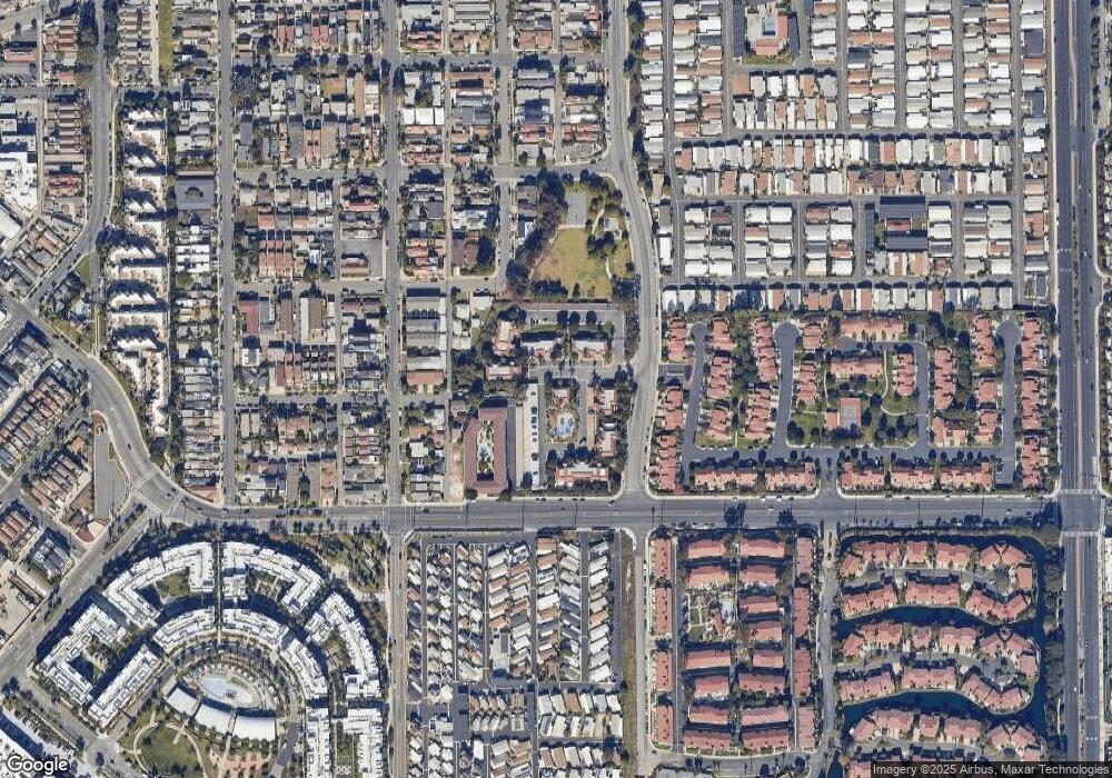
Map
Nearby Homes
- 111 Alabama St
- 80 Huntington St Unit 424
- 80 Huntington St Unit 372
- 80 Huntington St Unit 618
- 80 Huntington St Unit 707
- 80 Huntington St Unit 514
- 400 Lake St
- 430 Lake St Unit 304
- 430 Lake St Unit 204
- 219 1st St
- 414 Main St Unit 400
- 414 Main St Unit 330
- 414 Main St Unit 430
- 414 Main St Unit 200
- 414 Main St Unit 420
- 605 California St
- 217 1st St
- 7826 Sailboat Cir Unit 20
- 7756 Seabreeze Dr Unit 44
- 620 Huntington St
- 20923 Oceanside Ln Unit 41
- 20923 Oceanside Ln Unit 40
- 20923 Oceanside Ln Unit 42
- 20925 Oceanside Ln Unit 44
- 20925 Oceanside Ln Unit 43
- 20925 Oceanside Ln Unit 45
- 20927 Oceanside Ln Unit 47
- 20927 Oceanside Ln Unit 46
- 401 Atlanta Ave
- 7962 Baypoint Dr Unit 4
- 7962 Baypoint Dr Unit 3
- 7962 Baypoint Dr Unit 5
- 7972 Baypoint Dr Unit 10
- 7972 Baypoint Dr Unit 9
- 7972 Baypoint Dr Unit 11
- 7956 Baypoint Dr Unit 1
- 7956 Baypoint Dr Unit 2
- 7976 Baypoint Dr Unit 13
- 7976 Baypoint Dr Unit 12
- 7976 Baypoint Dr Unit 14