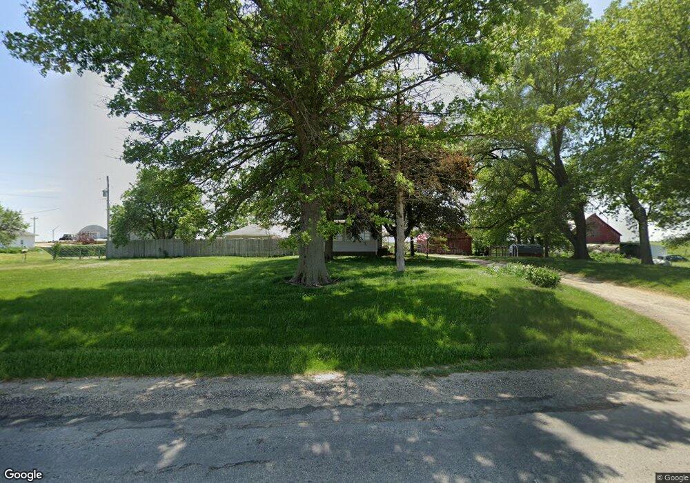
20929 Illinois Highway 81 Cambridge, IL 61238
Estimated Value: $142,000 - $163,000
4
Beds
--
Bath
280
Sq Ft
$551/Sq Ft
Est. Value
About This Home
This home is located at 20929 Illinois Highway 81, Cambridge, IL 61238 and is currently estimated at $154,314, approximately $551 per square foot. 20929 Illinois Highway 81 is a home located in Henry County with nearby schools including Galva Elementary School and Galva Junior/Senior High School.
Ownership History
Date
Name
Owned For
Owner Type
Purchase Details
Closed on
Nov 28, 2018
Sold by
Mansker Michael W and Mansker Carol E
Bought by
Bollinger Zzachary R and Bollinger Zoye J L
Current Estimated Value
Home Financials for this Owner
Home Financials are based on the most recent Mortgage that was taken out on this home.
Original Mortgage
$89,240
Outstanding Balance
$78,935
Interest Rate
5%
Mortgage Type
New Conventional
Estimated Equity
$75,379
Purchase Details
Closed on
Mar 28, 2005
Sold by
Yarger Rick A and Yarger Lisa K
Bought by
Mansker Michael W and Mansker Carol E
Home Financials for this Owner
Home Financials are based on the most recent Mortgage that was taken out on this home.
Original Mortgage
$74,250
Interest Rate
6.95%
Mortgage Type
Adjustable Rate Mortgage/ARM
Create a Home Valuation Report for This Property
The Home Valuation Report is an in-depth analysis detailing your home's value as well as a comparison with similar homes in the area
Home Values in the Area
Average Home Value in this Area
Purchase History
| Date | Buyer | Sale Price | Title Company |
|---|---|---|---|
| Bollinger Zzachary R | $92,000 | Attorney | |
| Mansker Michael W | $99,000 | None Available |
Source: Public Records
Mortgage History
| Date | Status | Borrower | Loan Amount |
|---|---|---|---|
| Open | Bollinger Zzachary R | $89,240 | |
| Previous Owner | Mansker Michael W | $74,250 |
Source: Public Records
Tax History Compared to Growth
Tax History
| Year | Tax Paid | Tax Assessment Tax Assessment Total Assessment is a certain percentage of the fair market value that is determined by local assessors to be the total taxable value of land and additions on the property. | Land | Improvement |
|---|---|---|---|---|
| 2024 | $2,367 | $38,509 | $6,891 | $31,618 |
| 2023 | $2,410 | $37,207 | $6,658 | $30,549 |
| 2022 | $2,132 | $33,221 | $5,945 | $27,276 |
| 2021 | $1,857 | $29,014 | $5,192 | $23,822 |
| 2020 | $1,901 | $29,283 | $5,240 | $24,043 |
| 2019 | $2,096 | $31,518 | $5,640 | $25,878 |
| 2018 | $3,143 | $38,246 | $5,476 | $32,770 |
| 2017 | $3,059 | $37,240 | $5,332 | $31,908 |
| 2016 | $3,097 | $37,054 | $5,305 | $31,749 |
| 2015 | $2,615 | $37,054 | $5,305 | $31,749 |
| 2013 | $2,615 | $37,429 | $5,359 | $32,070 |
Source: Public Records
Map
Nearby Homes
- 0 Timber Rd
- 10760 E 1600th St
- 6919 E 2480 St
- 334 Rice St
- 422 Ross St
- 410 Ross St
- 716 W 3rd St
- 218 Ross St
- 921 N Tremont St
- 703 S Washington St
- 214 W 8th St
- 512 Commercial St
- 201 S Grove St
- 915 N Walnut St
- 213 Elliott St
- 10198 E 2720 St
- 516 W Prospect St
- 235 S Chestnut St
- 402 W Prospect St
- 323 S Chestnut St