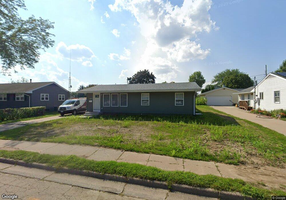
2093 Carter Rd Dubuque, IA 52001
Estimated Value: $191,000 - $227,000
5
Beds
3
Baths
1,008
Sq Ft
$210/Sq Ft
Est. Value
About This Home
This home is located at 2093 Carter Rd, Dubuque, IA 52001 and is currently estimated at $211,780, approximately $210 per square foot. 2093 Carter Rd is a home located in Dubuque County with nearby schools including Hoover Elementary School, George Washington Middle School, and Dubuque Senior High School.
Ownership History
Date
Name
Owned For
Owner Type
Purchase Details
Closed on
Dec 11, 2024
Sold by
Stanfley Judith
Bought by
Skylark Properties Llc
Current Estimated Value
Purchase Details
Closed on
Oct 4, 2024
Sold by
Stanfley Raymond Wayne
Bought by
Stanfley Judith
Purchase Details
Closed on
Nov 20, 2012
Sold by
Wellik Daniel A and Wellik Tracee L
Bought by
Cornelius Michell D
Purchase Details
Closed on
Mar 29, 2008
Sold by
Oneyear Steven Mark
Bought by
Wellik Daniel A and Wellik Tracee L
Create a Home Valuation Report for This Property
The Home Valuation Report is an in-depth analysis detailing your home's value as well as a comparison with similar homes in the area
Purchase History
| Date | Buyer | Sale Price | Title Company |
|---|---|---|---|
| Skylark Properties Llc | $100,000 | None Listed On Document | |
| Stanfley Judith | -- | None Listed On Document | |
| Cornelius Michell D | $132,000 | None Available | |
| Wellik Daniel A | $112,000 | None Available |
Source: Public Records
Tax History
| Year | Tax Paid | Tax Assessment Tax Assessment Total Assessment is a certain percentage of the fair market value that is determined by local assessors to be the total taxable value of land and additions on the property. | Land | Improvement |
|---|---|---|---|---|
| 2025 | $1,962 | $175,100 | $39,700 | $135,400 |
| 2024 | $1,962 | $155,100 | $35,900 | $119,200 |
| 2023 | $1,898 | $155,100 | $35,900 | $119,200 |
| 2022 | $1,912 | $128,050 | $34,020 | $94,030 |
| 2021 | $1,912 | $128,050 | $34,020 | $94,030 |
| 2020 | $1,866 | $117,070 | $32,130 | $84,940 |
| 2019 | $1,902 | $117,070 | $32,130 | $84,940 |
| 2018 | $1,868 | $114,030 | $30,240 | $83,790 |
| 2017 | $1,854 | $114,030 | $30,240 | $83,790 |
| 2016 | $1,854 | $107,720 | $30,240 | $77,480 |
| 2015 | $1,810 | $107,720 | $30,240 | $77,480 |
| 2014 | $1,734 | $106,200 | $30,240 | $75,960 |
Source: Public Records
Map
Nearby Homes
- 2995 Asbury Rd
- 2035 Broadlawn Rd
- 2185 Broadlawn Rd
- 3154 Erie Ct
- 2281 Pasadena Dr
- 2935 Saint Anne Dr
- 2315 Pasadena Dr
- 2315 Pasadena Dr
- 2290 Theda Dr
- 3085 Lindale St
- 3085 Kaufmann Ave
- 2201 Del Monaco Dr
- 2935 Van Buren St
- 2548 Marywood Dr
- 2191 Graham Cir
- 2750 Pennsylvania Ave
- 3349 Kaufmann Ave
- 2930 Kane #1 St
- 2685 Renaissance Dr
- 1718 Richie Dr
- 2097 Carter Rd
- 2085 Carter Rd
- 2066 Judson Dr
- 2111 Carter Rd
- 2075 Carter Rd
- 2046 Judson Dr
- 2086 Judson Dr
- 2088 Carter Rd
- 2094 Carter Rd
- 2036 Judson Dr
- 2078 Carter Rd
- 2096 Judson Dr
- 2117 Carter Rd
- 2065 Carter Rd
- 2068 Carter Rd
- 2120 Carter Rd
- 2006 Judson Dr
- 2120 Judson Dr
- 2087 Jeffrey Dr
- 3050 Vail Trail Ct
Your Personal Tour Guide
Ask me questions while you tour the home.