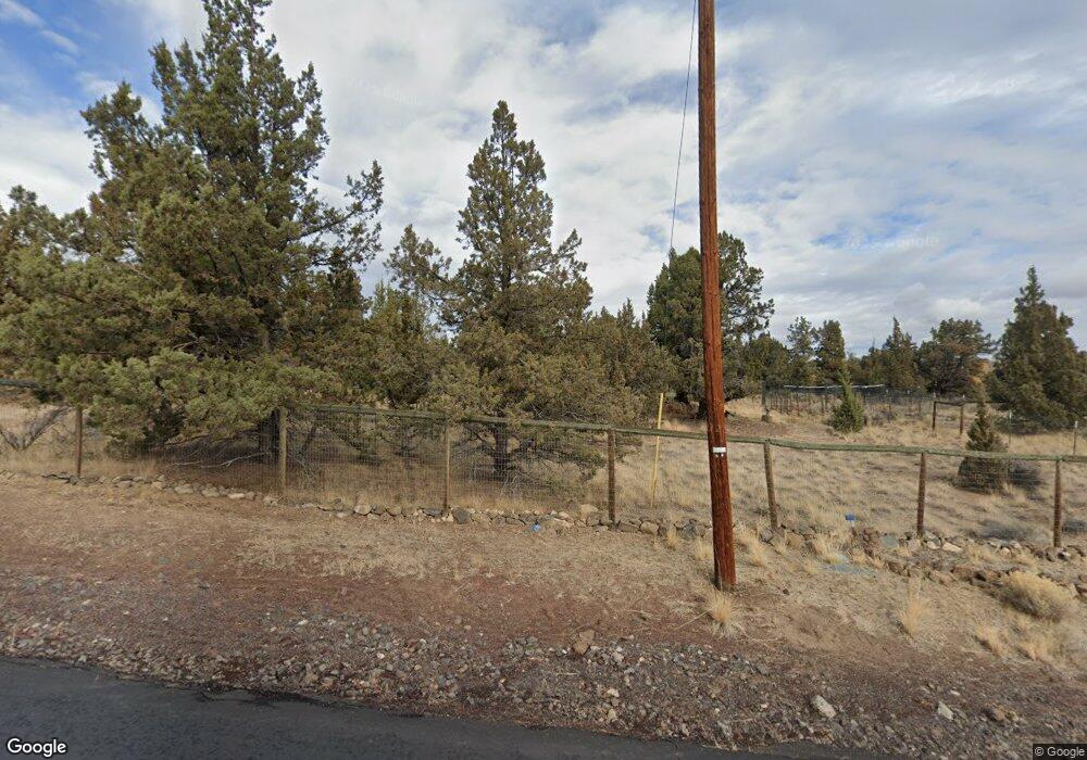
2093 NW Yucca Way Redmond, OR 97756
Estimated Value: $626,000 - $664,000
3
Beds
2
Baths
1,686
Sq Ft
$384/Sq Ft
Est. Value
About This Home
This home is located at 2093 NW Yucca Way, Redmond, OR 97756 and is currently estimated at $647,777, approximately $384 per square foot. 2093 NW Yucca Way is a home located in Deschutes County with nearby schools including Tom McCall Elementary School, Elton Gregory Middle School, and Redmond High School.
Ownership History
Date
Name
Owned For
Owner Type
Purchase Details
Closed on
Aug 10, 2018
Sold by
Thille Michael P
Bought by
Thille Michael P and Thille Tracy Anne
Current Estimated Value
Purchase Details
Closed on
Oct 9, 2014
Sold by
Fredericks Lanny L and Fredricks Joanne D
Bought by
Thille Michael P
Home Financials for this Owner
Home Financials are based on the most recent Mortgage that was taken out on this home.
Original Mortgage
$251,019
Outstanding Balance
$191,745
Interest Rate
4.08%
Mortgage Type
VA
Estimated Equity
$456,032
Create a Home Valuation Report for This Property
The Home Valuation Report is an in-depth analysis detailing your home's value as well as a comparison with similar homes in the area
Home Values in the Area
Average Home Value in this Area
Purchase History
| Date | Buyer | Sale Price | Title Company |
|---|---|---|---|
| Thille Michael P | -- | None Available | |
| Thille Michael P | $243,000 | First American Title |
Source: Public Records
Mortgage History
| Date | Status | Borrower | Loan Amount |
|---|---|---|---|
| Open | Thille Michael P | $251,019 |
Source: Public Records
Tax History Compared to Growth
Tax History
| Year | Tax Paid | Tax Assessment Tax Assessment Total Assessment is a certain percentage of the fair market value that is determined by local assessors to be the total taxable value of land and additions on the property. | Land | Improvement |
|---|---|---|---|---|
| 2025 | $4,263 | $252,070 | -- | -- |
| 2024 | $4,075 | $244,730 | -- | -- |
| 2023 | $3,884 | $237,610 | $0 | $0 |
| 2022 | $3,565 | $223,980 | $0 | $0 |
| 2021 | $3,458 | $217,460 | $0 | $0 |
| 2020 | $3,290 | $217,460 | $0 | $0 |
| 2019 | $3,137 | $211,130 | $0 | $0 |
| 2018 | $3,062 | $204,990 | $0 | $0 |
| 2017 | $2,993 | $199,020 | $0 | $0 |
| 2016 | $2,958 | $193,230 | $0 | $0 |
| 2015 | $2,866 | $187,610 | $0 | $0 |
| 2014 | $2,750 | $182,150 | $0 | $0 |
Source: Public Records
Map
Nearby Homes
- 2350 NW Rimrock Loop
- 3715 NW 25th St
- 1592 NW Varnish Place
- 1723 NW Upas Place
- 3377 NW 12th St Unit 39
- 1563 NW Upas Place
- 3395 NW 11th Ct
- 1079 NW Walnut Ave Unit 8
- 1178 NW Varnish Ave Unit 34
- 1752 NW Upas Ave
- Charlotte Premier Plan at Canyon Trails
- 1144 NW Varnish Ave
- 1144 NW Varnish Ave Unit 32
- 1221 NW Varnish Ave
- 2535 NW Upas Way
- 2479 NW Teak Place
- 2346 NW Teak Place
- 3565 NW 9th Ct
- 1226 NW Upas Place
- 3015 NW 19th St
- 2093 NW Yucca Way
- 4340 NW Rimrock Rd Unit 1
- 4350 NW Rimrock Rd Unit 1
- 4350 NW Rimrock Rd
- 4350 NW Rimrock 1
- 2092 NW Yucca Way
- 4191 NW 21st St
- 2092 NW Yucca Way
- 1910 NW Yucca Way
- 4101 NW 21st St
- 4055 NW 21st St
- 2145 NW Rimrock Loop
- 2234 NW Rimrock Loop
- 3885 NW Arrowhead Ln
- 3850 NW Arrowhead Ln
- 3947 NW 21st St
- 4200 NW Pershall Way
- 3838 NW Arrowhead Ln
- 2275 NW Rimrock Loop
