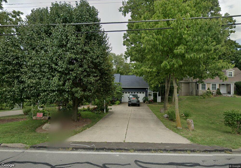
2094 Adams Rd Cincinnati, OH 45231
Estimated Value: $182,000 - $287,000
3
Beds
2
Baths
1,348
Sq Ft
$179/Sq Ft
Est. Value
About This Home
This home is located at 2094 Adams Rd, Cincinnati, OH 45231 and is currently estimated at $240,923, approximately $178 per square foot. 2094 Adams Rd is a home located in Hamilton County with nearby schools including Mt Healthy High School, Central Montessori Academy, and Our Lady of Grace Catholic School.
Ownership History
Date
Name
Owned For
Owner Type
Purchase Details
Closed on
May 29, 1997
Sold by
Christopher Homes Commercial Enterprises
Bought by
Bolding Brian Dale and Tucker Bernadine
Current Estimated Value
Home Financials for this Owner
Home Financials are based on the most recent Mortgage that was taken out on this home.
Original Mortgage
$81,450
Outstanding Balance
$9,803
Interest Rate
8.27%
Estimated Equity
$231,120
Create a Home Valuation Report for This Property
The Home Valuation Report is an in-depth analysis detailing your home's value as well as a comparison with similar homes in the area
Home Values in the Area
Average Home Value in this Area
Purchase History
| Date | Buyer | Sale Price | Title Company |
|---|---|---|---|
| Bolding Brian Dale | $101,900 | -- |
Source: Public Records
Mortgage History
| Date | Status | Borrower | Loan Amount |
|---|---|---|---|
| Open | Bolding Brian Dale | $81,450 |
Source: Public Records
Tax History
| Year | Tax Paid | Tax Assessment Tax Assessment Total Assessment is a certain percentage of the fair market value that is determined by local assessors to be the total taxable value of land and additions on the property. | Land | Improvement |
|---|---|---|---|---|
| 2025 | $4,393 | $75,268 | $11,666 | $63,602 |
| 2023 | $4,140 | $75,268 | $11,666 | $63,602 |
| 2022 | $4,261 | $55,804 | $10,990 | $44,814 |
| 2021 | $4,156 | $55,804 | $10,990 | $44,814 |
| 2020 | $4,207 | $55,804 | $10,990 | $44,814 |
| 2019 | $3,819 | $47,293 | $9,314 | $37,979 |
| 2018 | $3,840 | $47,293 | $9,314 | $37,979 |
| 2017 | $3,650 | $47,293 | $9,314 | $37,979 |
| 2016 | $3,125 | $39,929 | $9,314 | $30,615 |
| 2015 | $3,145 | $39,929 | $9,314 | $30,615 |
| 2014 | $3,130 | $39,929 | $9,314 | $30,615 |
| 2013 | $3,603 | $46,974 | $10,959 | $36,015 |
Source: Public Records
Map
Nearby Homes
- 2175 Carlsbory Dr
- 9125 Tag Dr
- 9369 Ranchill Dr
- 9577 Creekhill Dr
- 1967 Compton Rd
- 1725 Hastings Ave
- 1980 Stevens Ave
- 9231 Coogan Dr
- 9287 Coogan Dr
- 7718 Hamilton Ave
- 7310 Forest Ave
- 2547 Adams Rd
- 9224 Comstock Dr
- 1579 Meredith Dr
- 2497 Ontario St
- 9500 Ridgemoor Ave
- 1559 Meredith Dr
- 1545 Mcmakin Ave
- 2005 Miles Rd
- 1556 Meredith Dr
Your Personal Tour Guide
Ask me questions while you tour the home.