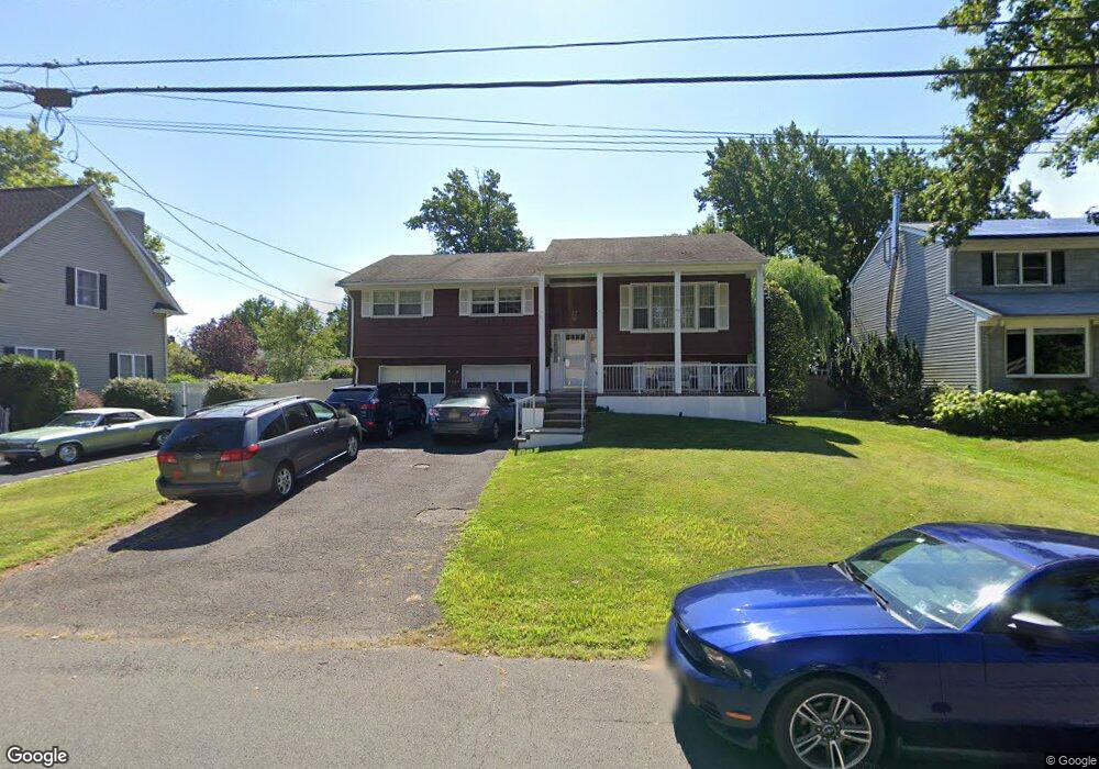
2094 Aldene Ave Scotch Plains, NJ 07076
Estimated Value: $674,063 - $937,000
--
Bed
--
Bath
1,902
Sq Ft
$454/Sq Ft
Est. Value
About This Home
This home is located at 2094 Aldene Ave, Scotch Plains, NJ 07076 and is currently estimated at $863,516, approximately $454 per square foot. 2094 Aldene Ave is a home located in Union County with nearby schools including William J. McGinn Elementary School, Terrill Middle School, and Scotch Plains-Fanwood High School.
Ownership History
Date
Name
Owned For
Owner Type
Purchase Details
Closed on
Aug 20, 2001
Sold by
Hampton Mark D and Hampton Melissa L
Bought by
Refinski Joseph A and Refinski Patricia A
Current Estimated Value
Home Financials for this Owner
Home Financials are based on the most recent Mortgage that was taken out on this home.
Original Mortgage
$35,500
Outstanding Balance
$13,904
Interest Rate
7.05%
Mortgage Type
Credit Line Revolving
Estimated Equity
$849,612
Purchase Details
Closed on
Mar 2, 2000
Sold by
Hampton Mark D
Bought by
Hampton Mark D and Hampton Melissa Lauren
Purchase Details
Closed on
Sep 15, 1998
Sold by
Oberle George A
Bought by
Hampton Mark D
Home Financials for this Owner
Home Financials are based on the most recent Mortgage that was taken out on this home.
Original Mortgage
$155,000
Interest Rate
6.9%
Create a Home Valuation Report for This Property
The Home Valuation Report is an in-depth analysis detailing your home's value as well as a comparison with similar homes in the area
Home Values in the Area
Average Home Value in this Area
Purchase History
| Date | Buyer | Sale Price | Title Company |
|---|---|---|---|
| Refinski Joseph A | $345,000 | -- | |
| Hampton Mark D | -- | -- | |
| Hampton Mark D | $225,000 | -- |
Source: Public Records
Mortgage History
| Date | Status | Borrower | Loan Amount |
|---|---|---|---|
| Open | Refinski Joseph A | $35,500 | |
| Open | Refinski Joseph A | $275,000 | |
| Previous Owner | Hampton Mark D | $155,000 |
Source: Public Records
Tax History Compared to Growth
Tax History
| Year | Tax Paid | Tax Assessment Tax Assessment Total Assessment is a certain percentage of the fair market value that is determined by local assessors to be the total taxable value of land and additions on the property. | Land | Improvement |
|---|---|---|---|---|
| 2025 | $13,086 | $111,200 | $32,500 | $78,700 |
| 2024 | $12,700 | $111,200 | $32,500 | $78,700 |
| 2023 | $12,700 | $111,200 | $32,500 | $78,700 |
| 2022 | $12,549 | $111,200 | $32,500 | $78,700 |
| 2021 | $12,528 | $111,200 | $32,500 | $78,700 |
| 2020 | $12,468 | $111,200 | $32,500 | $78,700 |
| 2019 | $12,375 | $111,200 | $32,500 | $78,700 |
| 2018 | $12,168 | $111,200 | $32,500 | $78,700 |
| 2017 | $11,897 | $111,200 | $32,500 | $78,700 |
| 2016 | $11,668 | $111,200 | $32,500 | $78,700 |
| 2015 | $11,477 | $111,200 | $32,500 | $78,700 |
| 2014 | $11,099 | $111,200 | $32,500 | $78,700 |
Source: Public Records
Map
Nearby Homes
- 2116 Newark Ave
- 2154 W Broad St
- 119 Lamberts Mill Rd
- 1933 Mary Ellen Ln
- 1933 W Broad St
- 2212 Shady Ln
- 2 Brookside Ct
- 2314 Longfellow Ave
- 1466 Lamberts Mill Rd
- 2219 North Ave Unit 6
- 314 Highgate Ave
- 345 La Grande Ave
- 187 King St
- 120 S Martine Ave
- 350 W Dudley Ave
- 524 Edgar Rd
- 5 Robin Rd
- 525 Edgar Rd
- 21 Old South Ave
- 40 1st St
- 2088 Aldene Ave
- 2102 Aldene Ave
- 2108 Aldene Ave
- 12 Fieldcrest Dr
- 10 Fieldcrest Dr
- 2082 Hill Top Rd
- 2097 Aldene Ave
- 2114 Aldene Ave
- 1247 Woodside Rd
- 2105 Aldene Ave
- 2093 Aldene Ave
- 1 Liquor Way
- 2111 Aldene Ave
- 14 Fieldcrest Dr
- 1211 Woodside Rd
- 8 Fieldcrest Dr
- 2116 Aldene Ave
- 1253 Woodside Rd
- 2108 Cheyenne Way
- 2115 Aldene Ave